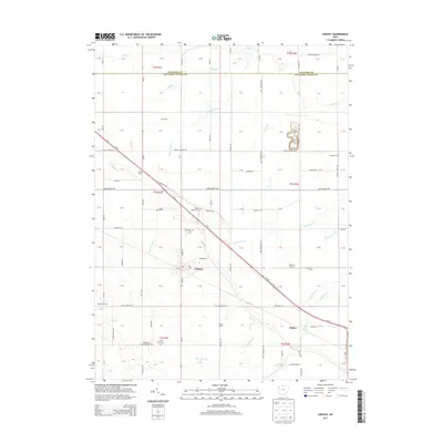
2013 Map of Convoy
USGS Topo · Published 2013About this map
Convoy anchors this agricultural landscape in Van Wert County, where the grid of rural roads is interrupted by the diagonal slice of the historic Lincoln Hwy and Us-30. This transit corridor has long defined the village’s orientation, connecting local farmers to broader markets. The surrounding countryside is dotted with family-named operations like Arts Dairy, Marcart Farms, and Speelman Farm, illustrating the enduring legacy of 20th-century family agriculture in western Ohio.
Find a feature on this map
69 named features on this map. Tap any name to fly to it.
Don’t see what you’re looking for? This feature index may not catch every label — zoom into the map to look around manually.
Map Details
Editions of this 2013 Convoy Map
This is the sole edition of this map. No revisions or reprints were ever made.
Other maps of this area

1914 · Van Wert
USGS Topo · 1:62,500

1914 · Paulding
USGS Topo · 1:62,500

1944 · Van Wert
USGS Topo · 1:62,500

1944 · Paulding
USGS Topo · 1:62,500

1953 · Fort Wayne
USGS Topo · 1:250,000

1953 · Muncie
USGS Topo · 1:250,000

1956 · Muncie
USGS Topo · 1:250,000

1956 · Fort Wayne
USGS Topo · 1:250,000

1958 · Woodburn South
USGS Topo · 1:24,000
1960 · Convoy
USGS Topo · 1:24,000