Old Maps of Orrville, Ohio for Metal Detecting
Plan your next treasure hunt with 23 historic maps of Orrville. Find old homesites, ghost towns, trails, and gathering spots that may be lost to time — perfect for identifying promising metal detecting locations.
- Locate forgotten sites: Uncover places like long-lost settlements, abandoned rail lines, or gathering spots.
- Plan better hunts: Use map overlays combined with LiDAR or satellite views to narrow in on historically rich areas.
- Made for detectorists: Thousands of hobbyists use these maps to discover relics, coins, and hidden history.
Use these historic maps to boost your research and find new opportunities beneath the surface of Orrville.
Orrville, OH maps
(23)- 1901 Map of Massillon, 1955 Print
 1901 Massillon1955 Print · USGSMassillon and the Tuscarawas valley thrive at the turn of the century as centers of canal transit and heavy rail industry. Local historians can trace the paths of the Ohio and Erie Canal, the massive Insane Asylum, and coal operations like the Turkeyfoot Mine.2 unique versions available
 - 1901 Map of Wooster, 1961 Print
 1901 Wooster1961 Print · USGSWayne County was a bustling corridor of rail and agriculture at the turn of the century, dominated by the growth of Wooster and Orrville. Researchers can trace historic institutions like Wooster University or locate the Mennonite Home and State Experiment Station.
 - 1903 Map of Massillon, 1934 Print
 1903 Massillon1934 Print · USGSNortheastern Ohio at the start of the century is a landscape of industrial growth and intricate canal-side settlements. Genealogists and historians can trace the early rail-and-water economy through features like the Ohio Canal, Turkeyfoot Mine, and the Insane Asylum.2 unique versions available
 - 1903 Map of Wooster, 1938 Print
 1903 Wooster1938 Print · USGSWayne County is shown at the height of its early rail-and-river economy, with every township and rural hamlet meticulously plotted. Researchers can trace historic landmarks like Wooster University, the Mennonite Home, and the State Experiment Station as they appeared just after the turn of the century.2 unique versions available
 - 1951 Map of Canton
 1951 Canton1951 Print · USGSThe industrial heartland of Ohio and Pennsylvania reached its mid-century peak during this era of heavy rail and river transit. Genealogists and historians can trace the development of steel towns like Aliquippa and Weirton alongside the Ohio River and major lines of the Pennsylvania RR.
 - 1953 Map of Canton
 1953 Canton1953 Print · USGSThe industrial heartland of Ohio and Pennsylvania is captured at its mid-century peak in this detailed regional survey. Genealogists and historians can trace the vast rail networks of the Pennsylvania RR and find local landmarks like Nimisila Reservoir and Tappan Reservoir.
 - 1957 Map of Canton, 1971 Print
 1957 Canton1971 Print · USGSThe industrial heartland of eastern Ohio and western Pennsylvania comes alive in this mid-century survey of the Ohio River Valley. Trace the heritage of rail and river commerce through Pittsburgh, the massive steel towns along the Ohio River, and major junctions on the Pennsylvania RR.3 unique versions available
 - 1961 Map of Dalton, 1962 Print
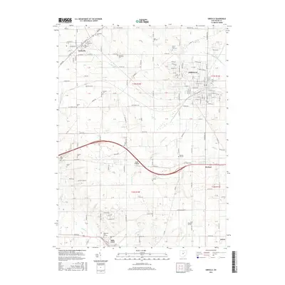
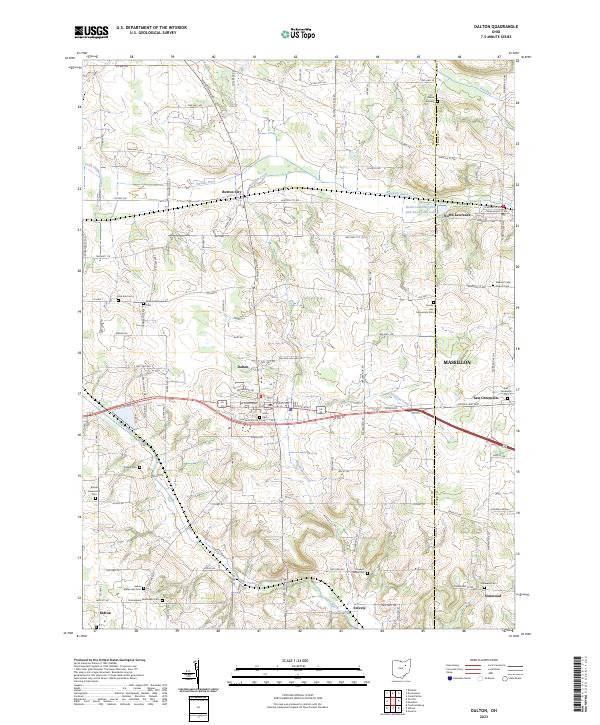
 1961 Dalton1962 Print · USGSWayne and Stark counties are captured in the early sixties as a busy landscape of family farms, rail lines, and emerging energy sites. Genealogists and historians can trace family-named landmarks like Sonnenberg Cemetery, Martins Church, and the village of Kidron.3 unique versions available
 - 1961 Map of Orrville, 1963 Print
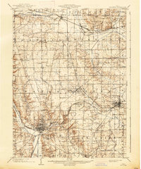
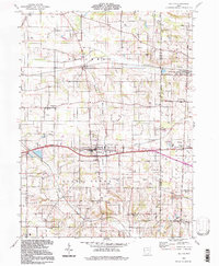
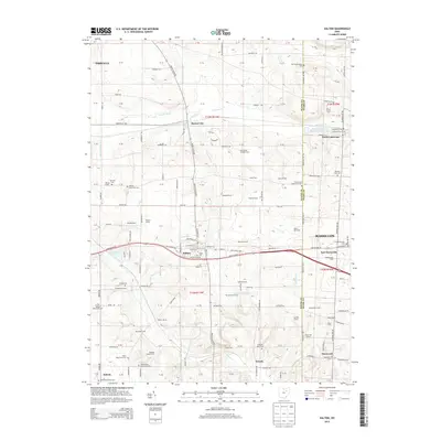
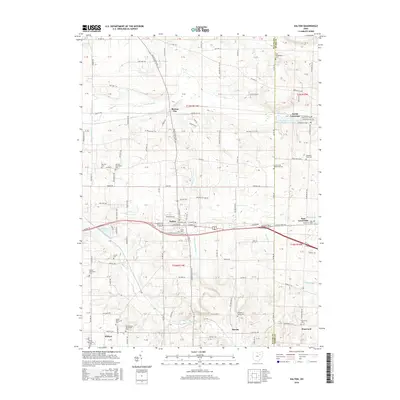
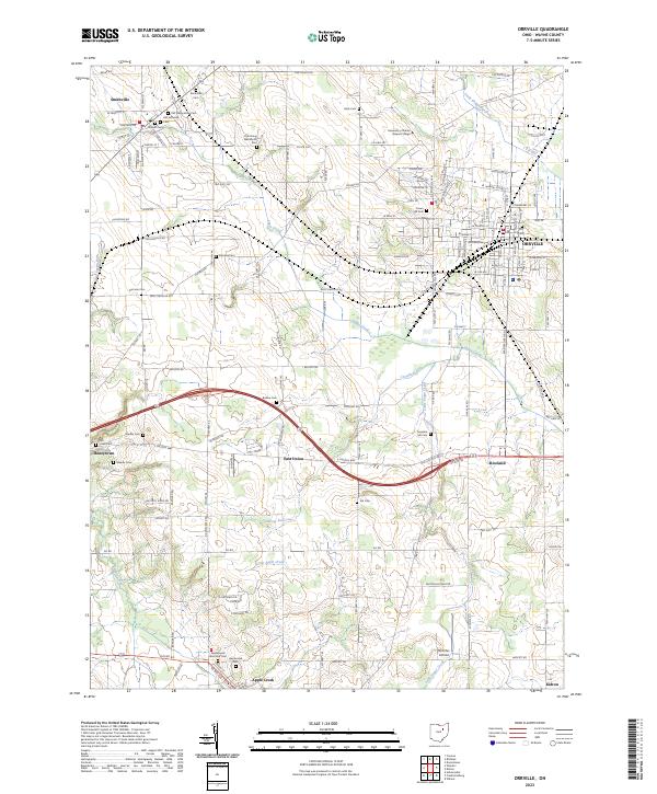
 1961 Orrville1963 Print · USGSOrrville and its surrounding townships thrive as a bustling rail and agricultural center in the early sixties. Researchers can trace historic family locations at Stauffer Cem, the large Apple Creek State Hospital grounds, and rural junctions like Honeytown.2 unique versions available
 - 1962 Map of Canton
 1962 Canton1962 Print · USGSThe industrial heartland of Eastern Ohio and Western Pennsylvania thrives in the early sixties as steel mills and rail lines dominate the river valleys. Genealogists and historians can trace local landmarks like McKinley National Memorial, Malone College, and industrial sites such as Republic Steel Corp.2 unique versions available
 - 1986 Map of Canton
 1986 Canton1986 Print · USGSNortheastern Ohio’s industrial corridor and rural heartland are captured here in the mid-1980s as the region's rail and highway networks reached their modern form. Researchers can trace the layout of Canton and Massillon, locate family sites near West Lawn Cemetery, or explore the grounds of Malone College and Walsh College.2 unique versions available
 - 1994 Map of Orrville, 1998 Print
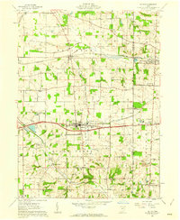
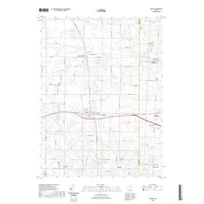
 1994 Orrville1998 Print · USGSOrrville and the surrounding Wayne County farmlands are captured in the mid-1990s as the rail and agricultural economy continued to shape the region. Genealogists and local historians can trace family landmarks like Kapp Gish Cem, the Apple Creek State Development Center, and the 4 Tracks rail line.
 - 1994 Map of Dalton, 1998 Print
 1994 Dalton1998 Print · USGSWayne and Stark Counties in the 1990s showcase a blend of established villages and persistent rural history. Trace the development of local hamlets like Burton City and East Greenville or locate family landmarks such as Sonnenberg Sch and Arnold Cem.
 - 2010 Map of Dalton, 2010 Print
 2010 Dalton2010 Print · USGSCovers Orrville, including Massillon, Dalton, and other nearby areas
 - 2010 Map of Orrville, 2010 Print
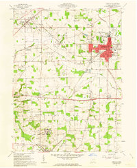
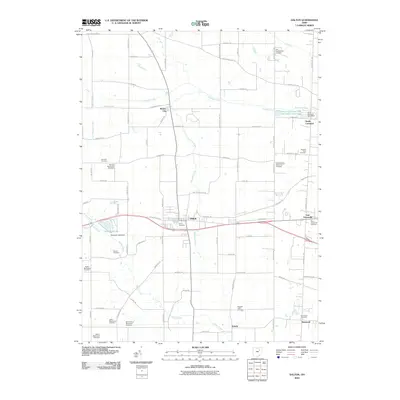
 2010 Orrville2010 Print · USGSCovers Orrville, including East Union, Smithville, and other nearby areas
 - 2013 Map of Orrville, 2013 Print
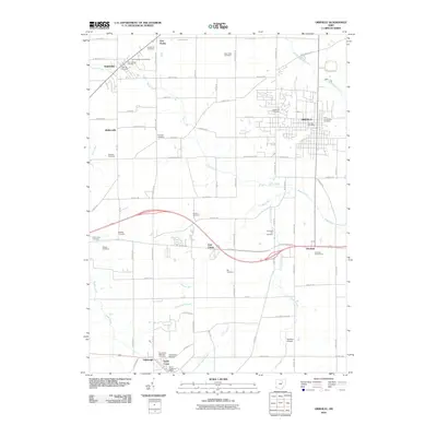
 2013 Orrville2013 Print · USGSCovers Orrville, including East Union, Smithville, and other nearby areas
 - 2013 Map of Dalton, 2013 Print
 2013 Dalton2013 Print · USGSCovers Orrville, including Massillon, Dalton, and other nearby areas
 - 2016 Map of Orrville, 2016 Print
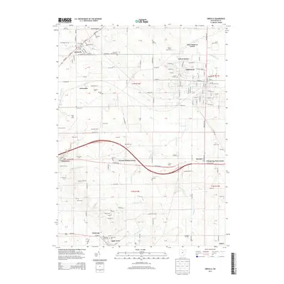
 2016 Orrville2016 Print · USGSCovers Orrville, including East Union, Smithville, and other nearby areas
 - 2016 Map of Dalton, 2016 Print
 2016 Dalton2016 Print · USGSCovers Orrville, including Massillon, Dalton, and other nearby areas
 - 2019 Map of Dalton, 2019 Print
 2019 Dalton2019 Print · USGSCovers Orrville, including Massillon, Dalton, and other nearby areas
 - 2019 Map of Orrville, 2019 Print
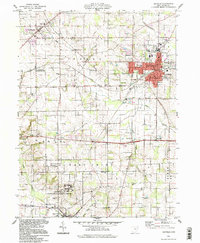
 2019 Orrville2019 Print · USGSCovers Orrville, including East Union, Smithville, and other nearby areas
 - 2023 Map of Orrville, 2023 Print
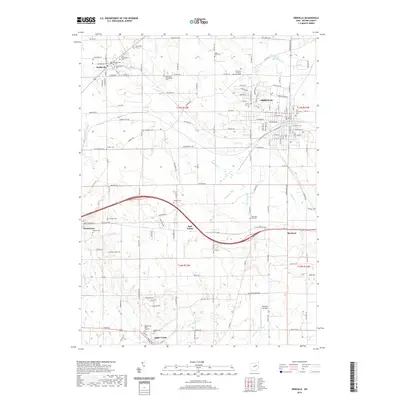
 2023 Orrville2023 Print · USGSWayne County at the start of the 2020s shows a dense network of historic settlements and rural cemeteries. Genealogists can trace family names at the Old Presbyterian Cem, Oak Grove Mennonite Cem, or the Stoltzfus Airfield area.
 - 2023 Map of Dalton, 2023 Print
 2023 Dalton2023 Print · USGSSettled farmlands and numerous Mennonite churchyards define the Wayne County landscape in the early twenty-first century. Genealogists can trace family lines at Bethel Mennonite Cem, Clover Hill Cem, and Union Cem near Dalton.
End of results
Showing maps 1-23 of 23
Top cities near Orrville
- Akron historical maps
- Massillon historical maps
- Wooster historical maps
- Barberton historical maps
- Wadsworth historical maps
- New Franklin historical maps
See more
Frequently asked questions
- What are the different types of historical maps available for Orrville?
- What is the oldest map of Orrville?
- Where can I purchase historical maps of Orrville for my home or office?
- Where can I download high-res historical maps of Orrville?
- Are there historical topographic maps available for Orrville?
- Is there historical aerial imagery available for Orrville?
- Where are historical maps of Orrville sourced from?