Old Maps of Luckey, Ohio for Genealogy
Trace your family roots with 13 historic maps of Luckey. These high-res maps reveal old neighborhoods, homesites, landmarks, and streets — helping you uncover where your ancestors lived and how the area evolved over time.
- Explore historic neighborhoods: Identify where your relatives may have lived in the 1800s or 1900s.
- Compare maps over time: Trace the changes in streets, buildings, and landmarks for multi-generational research.
- Perfect for genealogy & ancestry research: Used by family historians and researchers to map out lineage and migration.
These maps are an incredible resource for exploring your personal connection to Luckey's past.
Luckey, OH maps
(13)- 1901 Map of Elmore, 1961 Print
 1901 Elmore1961 Print · USGSNorthwest Ohio at the turn of the century was a landscape of thriving rail towns and fertile township acreage. You can trace the path of the Lake Shore Electric Railway through Woodville or locate early settlements like Pemberville and Rising Sun.
 - 1903 Map of Elmore, 1943 Print
 1903 Elmore1943 Print · USGSNorthwest Ohio at the turn of the century was a hive of competing rail lines and riverside market towns. Researchers can trace the early industrial footprints of Gibsonburg, Pemberville, and Elmore alongside the Ohio Central System and Wolf Creek.
 - 1956 Map of Toledo, 1968 Print
 1956 Toledo1968 Print · USGSNorthwest Ohio and the Lake Erie shoreline are shown in detail during the late fifties, showcasing a landscape of heavy industry, railroads, and island communities. Genealogists and historians can trace rail networks like the Chesapeake & Ohio RR or locate landmarks such as the Erie Proving Ground and Kelleys Island.4 unique versions available
 - 1959 Map of Pemberville, 1960 Print
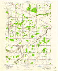 1959 Pemberville1960 Print · USGSThe Portage River and a dense network of major railroads define this Wood County landscape in the late fifties. Genealogists and historians can locate family-named sites like Eisenhour Cemetery and Salem Church or trace the early industrial footprint of local oil wells and the quarry at Luckey.
 - 1961 Map of Toledo
 1961 Toledo1961 Print · USGSThe western basin of Lake Erie and the industrial heart of Northern Ohio are captured here during the post-war era. Researchers can trace historical rail lines like the New York Central or locate landmarks like the Erie Ordnance Depot and Pelee Island.
 - 1969 Map of Pemberville, 1971 Print
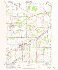 1969 Pemberville1971 Print · USGSThe Portage River valley in the late sixties reveals a landscape of industrious small towns and productive rural townships. Genealogists can locate family sites near Eisenhour Cem or trace the early paths of Devils Hole Road and the Penn Central rail lines.
 - 1986 Map of Findlay
 1986 Findlay1986 Print · USGSNorthwest Ohio's industrial and agricultural heartland is documented here in the mid-1980s, centered on the major hubs of Findlay, Fostoria, and Tiffin. Researchers can trace the intersections of the BALTIMORE AND OHIO railroad and family sites near Greenlawn Cem or Sagar Ridge.2 unique versions available
 - 1994 Map of Pemberville, 1998 Print
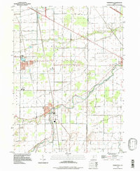 1994 Pemberville1998 Print · USGSWood County and Sandusky County farmland is documented here in the 1990s as the Portage River flows through Pemberville. Researchers can trace local heritage through sites like Eisenhour Cem, Eastwood High Sch, and the unique Devils Hole terrain.
 - 2010 Map of Pemberville, 2010 Print
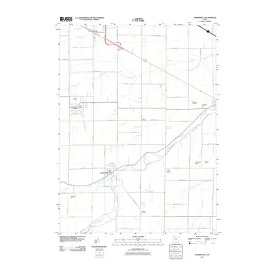 2010 Pemberville2010 Print · USGSNorthwest Ohio at the turn of the millennium shows a landscape defined by the winding Portage River and a deep agricultural grid. Genealogists and local historians can trace family locations near the Luckey Quarry, Eisenhour Cemetery, and the village of Pemberville.
 - 2013 Map of Pemberville, 2013 Print
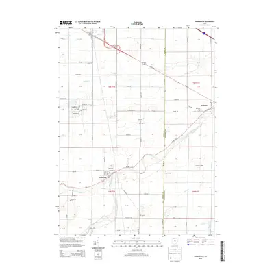 2013 Pemberville2013 Print · USGSThe Wood and Sandusky County border in the early 2010s shows a landscape of river-valley settlements and productive farmland. Researchers can locate family heritage sites like Pemberville Cem and Salem Cem, or trace the paths of the Portage River and Fremont Pike.
 - 2016 Map of Pemberville, 2016 Print
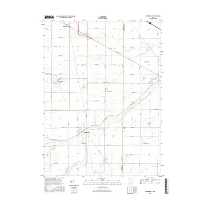 2016 Pemberville2016 Print · USGSNorthwest Ohio farmland and river valleys are captured here in the mid-2010s, centered on the historic village of Pemberville. Researchers can trace local lineage through numerous sites like Troy Township Cem or follow the paths of Packer Cr and the Portage River.
 - 2019 Map of Pemberville, 2019 Print
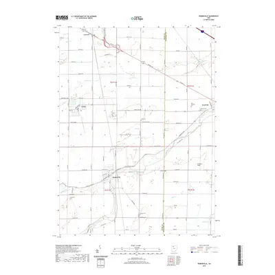 2019 Pemberville2019 Print · USGSNorthwest Ohio's agricultural heartland is documented here in the late twenty-teens, showing the established layouts of Pemberville and Woodville. Researchers can locate several historic burial grounds like Salem Cem and Eisenhour Cem along the Portage River.
 - 2023 Map of Pemberville, 2023 Print
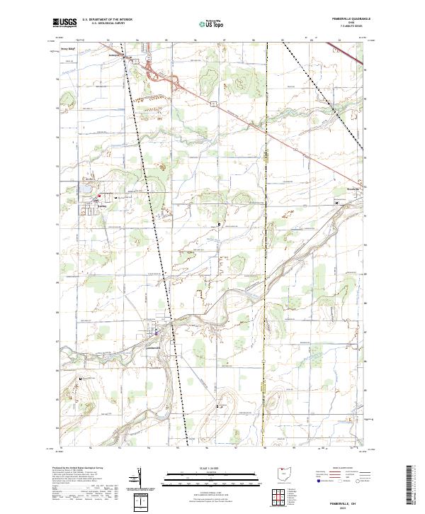 2023 Pemberville2023 Print · USGSThe Wood County countryside near Pemberville and Woodville is shown here as a mature agricultural landscape. Researchers can locate several family and municipal burial sites like Eisenhour Cem and Troy Township Cem along the Portage River.
End of results
Showing maps 1-13 of 13
Top cities near Luckey
- Toledo historical maps
- Bowling Green historical maps
- Perrysburg historical maps
- Oregon historical maps
- Maumee historical maps
- Rossford historical maps
See more
Frequently asked questions
- What are the different types of historical maps available for Luckey?
- What is the oldest map of Luckey?
- Where can I purchase historical maps of Luckey for my home or office?
- Where can I download high-res historical maps of Luckey?
- Are there historical topographic maps available for Luckey?
- Is there historical aerial imagery available for Luckey?
- Where are historical maps of Luckey sourced from?