Old Maps of Twin Maples Trailer Court, Ohio for Academic Research
Study the evolution of Twin Maples Trailer Court with 13 high-resolution historic maps. Whether you're teaching, researching, or modeling changes in land use, these maps provide essential visual documentation of urban, environmental, and geographic change.
- Analyze long-term change: Track patterns in development, transportation, and natural features.
- Ideal for environmental or urban studies: Support academic projects with primary historical map data.
- Use in the classroom or lab: Educators and researchers rely on these maps to bring historical context to life.
These maps are a powerful tool for teaching, research, and visualizing how Twin Maples Trailer Court has changed over the decades.
Twin Maples Trailer Court, OH maps
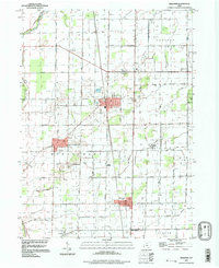
(13)- 1901 Map of Elmore, 1961 Print
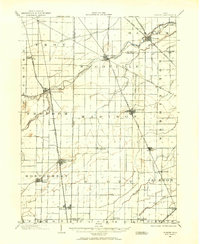 1901 Elmore1961 Print · USGSNorthwest Ohio at the turn of the century was a landscape of thriving rail towns and fertile township acreage. You can trace the path of the Lake Shore Electric Railway through Woodville or locate early settlements like Pemberville and Rising Sun.
 - 1903 Map of Elmore, 1943 Print
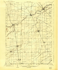 1903 Elmore1943 Print · USGSNorthwest Ohio at the turn of the century was a hive of competing rail lines and riverside market towns. Researchers can trace the early industrial footprints of Gibsonburg, Pemberville, and Elmore alongside the Ohio Central System and Wolf Creek.
 - 1956 Map of Toledo, 1968 Print
 1956 Toledo1968 Print · USGSNorthwest Ohio and the Lake Erie shoreline are shown in detail during the late fifties, showcasing a landscape of heavy industry, railroads, and island communities. Genealogists and historians can trace rail networks like the Chesapeake & Ohio RR or locate landmarks such as the Erie Proving Ground and Kelleys Island.4 unique versions available
 - 1958 Map of Bradner, 1960 Print
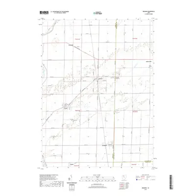
 1958 Bradner1960 Print · USGSMid-century Wood County and Sandusky County thrive along a busy rail corridor in the late fifties. Researchers can trace the extensive network of Oil Wells around Bradner and locate family-history landmarks like the Graham Cem and Township Sch.
 - 1961 Map of Toledo
 1961 Toledo1961 Print · USGSThe western basin of Lake Erie and the industrial heart of Northern Ohio are captured here during the post-war era. Researchers can trace historical rail lines like the New York Central or locate landmarks like the Erie Ordnance Depot and Pelee Island.
 - 1969 Map of Bradner, 1971 Print
 1969 Bradner1971 Print · USGSNorthwest Ohio's oil-producing landscape is captured here in the late sixties, showing the industrial density of Wood and Sandusky Counties. Genealogists and researchers can pinpoint family landmarks like Bell Cem and St James Ch or trace the Penn Central rail line through Bradner and Risingsun.3 unique versions available
 - 1986 Map of Findlay
 1986 Findlay1986 Print · USGSNorthwest Ohio's industrial and agricultural heartland is documented here in the mid-1980s, centered on the major hubs of Findlay, Fostoria, and Tiffin. Researchers can trace the intersections of the BALTIMORE AND OHIO railroad and family sites near Greenlawn Cem or Sagar Ridge.2 unique versions available
 - 1994 Map of Bradner, 1998 Print
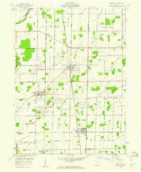
 1994 Bradner1998 Print · USGSNorthwestern Ohio's farmland and oil fields are captured here in the late twentieth century. Researchers can trace the layout of Bradner, Wayne, and Risingsun, or locate genealogy sites like Graham Cem and the small settlement of Hatton.
 - 2010 Map of Bradner, 2010 Print
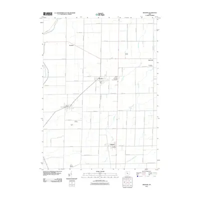 2010 Bradner2010 Print · USGSCovers Twin Maples Trailer Court, including Bradner, Wayne, and other nearby areas
 - 2013 Map of Bradner, 2013 Print
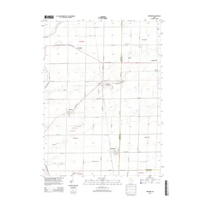 2013 Bradner2013 Print · USGSCovers Twin Maples Trailer Court, including Bradner, Wayne, and other nearby areas
 - 2016 Map of Bradner, 2016 Print
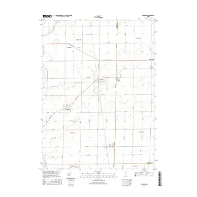 2016 Bradner2016 Print · USGSCovers Twin Maples Trailer Court, including Bradner, Wayne, and other nearby areas
 - 2019 Map of Bradner, 2019 Print
 2019 Bradner2019 Print · USGSCovers Twin Maples Trailer Court, including Bradner, Wayne, and other nearby areas
 - 2023 Map of Bradner, 2023 Print
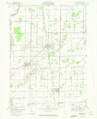
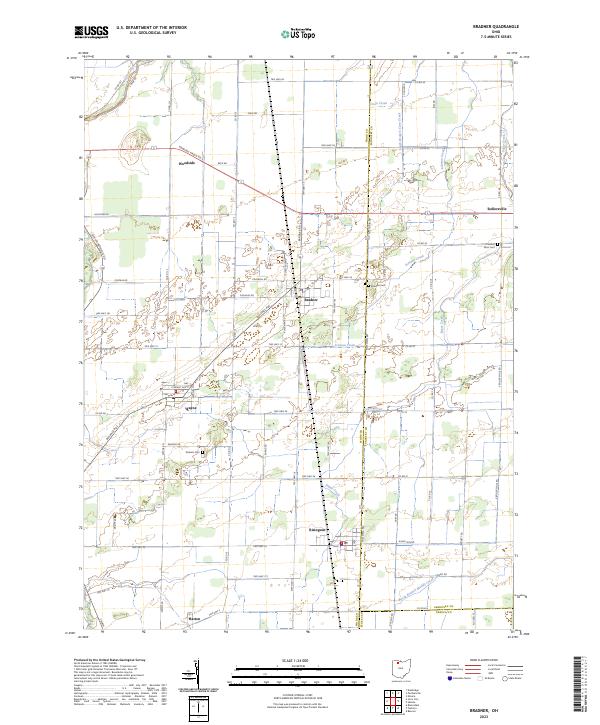 2023 Bradner2023 Print · USGSThe crossroads and creeks of Wood and Sandusky counties are captured in this modern survey of Northwest Ohio. Researchers can trace family roots at Bradner Cem or Pember Farm Cem and locate small settlements like Risingsun, Wayne, and Rollersville.
End of results
Showing maps 1-13 of 13
Top cities near Twin Maples Trailer Court
- Bowling Green historical maps
- Perrysburg historical maps
- Tiffin historical maps
- Maumee historical maps
- Fostoria historical maps
- Rossford historical maps
See more
Frequently asked questions
- What are the different types of historical maps available for Twin Maples Trailer Court?
- What is the oldest map of Twin Maples Trailer Court?
- Where can I purchase historical maps of Twin Maples Trailer Court for my home or office?
- Where can I download high-res historical maps of Twin Maples Trailer Court?
- Are there historical topographic maps available for Twin Maples Trailer Court?
- Is there historical aerial imagery available for Twin Maples Trailer Court?
- Where are historical maps of Twin Maples Trailer Court sourced from?