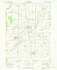
1969 Map of Bradner
USGS Topo · Published 1971About this map
Oil wells dot the landscape of Wood and Sandusky Counties in this late-1960s survey, revealing the lasting footprint of the Northwest Ohio oil boom. The Penn Central railroad serves as the primary industrial corridor, threading through the established villages of Bradner, Wayne, and Risingsun. These towns are characterized by dense grid-pattern streets and small-town infrastructure, including St James Ch and several local burial grounds like Graham Cem and Bell Cem.
Find a feature on this map
42 named features on this map. Tap any name to fly to it.
Don’t see what you’re looking for? This feature index may not catch every label — zoom into the map to look around manually.
Map Details
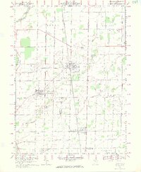
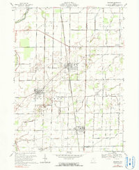
Editions of this 1969 Bradner Map
3 editions found
Other maps of this area

1901 · Fostoria
USGS Topo · 1:62,500

1901 · Bowling Green
USGS Topo · 1:62,500

1901 · Elmore
USGS Topo · 1:62,500

1903 · Bowling Green
USGS Topo · 1:62,500

1903 · Fostoria
USGS Topo · 1:62,500

1903 · Findlay
USGS Topo · 1:62,500

1903 · Elmore
USGS Topo · 1:62,500

1956 · Toledo
USGS Topo · 1:250,000
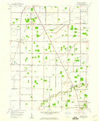
1958 · Dunbridge
USGS Topo · 1:24,000

1958 · Jerry City
USGS Topo · 1:24,000