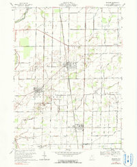
1969 Map of Bradner
USGS Topo · Published 1990About this map
The Penn Central and Chesapeake and Ohio railroads anchor the local economy of these rural Ohio townships during the late 1960s. The landscape is defined by a dense grid of section roads and numerous oil wells dotting the fields surrounding Bradner and Risingsun. While the North Branch Portage River and South Branch Portage River wind through the northwestern corner near Woodside, much of the geography is devoted to agriculture and resource extraction. Significant local institutions are documented, including St James Ch and a Church Camp located just north of the village of Wayne. This survey illustrates the mid-century transition of Wood and Sandusky counties as industrial rail transport and traditional farming operations coexisted before the gradual shift away from heavy rail reliance.
Find a feature on this map
47 named features on this map. Tap any name to fly to it.
Don’t see what you’re looking for? This feature index may not catch every label — zoom into the map to look around manually.
Map Details
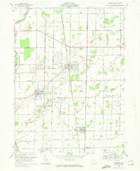
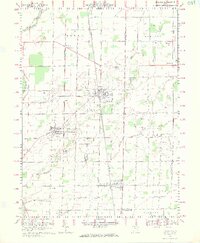
Editions of this 1969 Bradner Map
3 editions found
Other maps of this area

1901 · Fostoria
USGS Topo · 1:62,500

1901 · Bowling Green
USGS Topo · 1:62,500

1901 · Elmore
USGS Topo · 1:62,500

1903 · Bowling Green
USGS Topo · 1:62,500

1903 · Fostoria
USGS Topo · 1:62,500

1903 · Findlay
USGS Topo · 1:62,500

1903 · Elmore
USGS Topo · 1:62,500

1956 · Toledo
USGS Topo · 1:250,000
1958 · Dunbridge
USGS Topo · 1:24,000

1958 · Jerry City
USGS Topo · 1:24,000