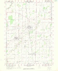
1969 Map of Bradner
USGS Topo · Published 1971About this map
Bradner and the surrounding villages of Wayne and Risingsun sit at the center of this 1969 topographic study, capturing a period of transition in rural Wood and Sandusky Counties. The landscape is defined by the convergence of the Penn Central railroad and a grid of family-named corridors such as Dairyview Road and Bolen Road. The presence of numerous oil wells throughout the quadrangle points to the enduring footprint of the Trenton Oil Field discovery, which spurred the growth of these towns decades prior. Along the South Portage River and Sugar Creek, the map details a meticulously drained agricultural plain, where small landmarks like St James Ch and the local Church Camp served as community hubs. Smaller settlements like Rollersville and Hatton appear as tight-knit clusters, their layouts preserved just as the region began to modernize at the end of the 1960s.
Find a feature on this map
43 named features on this map. Tap any name to fly to it.
Don’t see what you’re looking for? This feature index may not catch every label — zoom into the map to look around manually.
Map Details
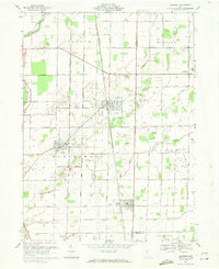
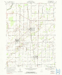
Editions of this 1969 Bradner Map
3 editions found
Other maps of this area

1901 · Fostoria
USGS Topo · 1:62,500

1901 · Bowling Green
USGS Topo · 1:62,500

1901 · Elmore
USGS Topo · 1:62,500

1903 · Bowling Green
USGS Topo · 1:62,500

1903 · Fostoria
USGS Topo · 1:62,500

1903 · Findlay
USGS Topo · 1:62,500

1903 · Elmore
USGS Topo · 1:62,500

1956 · Toledo
USGS Topo · 1:250,000
1958 · Dunbridge
USGS Topo · 1:24,000

1958 · Jerry City
USGS Topo · 1:24,000