Old Maps of Pitt Township, Ohio for Genealogy
Trace your family roots with 33 historic maps of Pitt Township. These high-res maps reveal old neighborhoods, homesites, landmarks, and streets — helping you uncover where your ancestors lived and how the area evolved over time.
- Explore historic neighborhoods: Identify where your relatives may have lived in the 1800s or 1900s.
- Compare maps over time: Trace the changes in streets, buildings, and landmarks for multi-generational research.
- Perfect for genealogy & ancestry research: Used by family historians and researchers to map out lineage and migration.
These maps are an incredible resource for exploring your personal connection to Pitt Township's past.
Pitt Township, OH maps
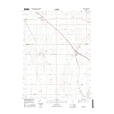
(33)- 1903 Map of Marion, 1961 Print
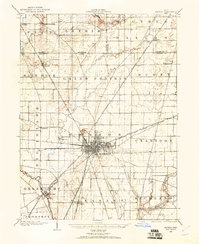 1903 Marion1961 Print · USGSMarion emerges as a powerful rail hub at the turn of the century, with nearly ten different lines intersecting at the city's heart. Local historians can trace the early industrial landscape through the Electric RR and the Quarry near Owen.
 - 1905 Map of Marion, 1944 Print
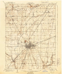 1905 Marion1944 Print · USGSMarion became a bustling railroad crossroads at the turn of the century, serving as a vital link for the state's industrial and agricultural transport. Researchers can trace the early city grid, the path of the Hocking Valley Line, and rural outposts like Morral and Little Sandusky.
 - 1906 Map of Sycamore, 1932 Print
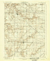 1906 Sycamore1932 Print · USGSThe rural heart of north-central Ohio is captured here at the height of its steam-rail era. Genealogists and local historians can trace family locations near Sycamore, Nevada, and Belle Vernon, or locate landmarks like Oakgrove School and the Rock Run Church.
 - 1907 Map of Upper Sandusky, 1943 Print
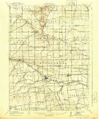
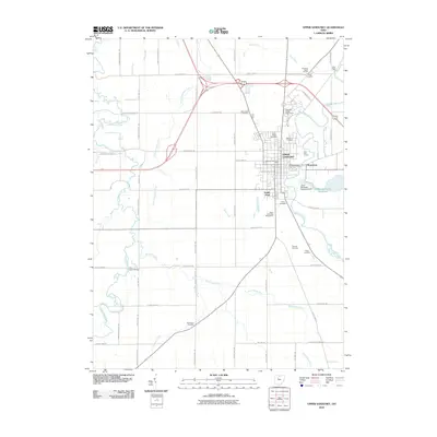
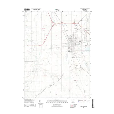
 1907 Upper Sandusky1943 Print · USGSWyandot County at the dawn of the twentieth century was a landscape of thriving rail junctions and dispersed rural school districts. Genealogists and local historians can trace the exact locations of family landmarks like Grace Chapel, the Indian Mill, and numerous rural schools from Moody School to Hendricks School 24.
 - 1915 Map of La Rue, 1944 Print
 1915 La Rue1944 Print · USGSRailroad hubs and rural school districts define the landscape of Marion and Wyandot Counties in the years before the Great War. Genealogists can trace family roots through numerous local landmarks like York Street School, the village of La Rue, and the Scioto Military Land.
 - 1950 Map of Marion
 1950 Marion1950 Print · USGSCentral Ohio was a powerhouse of rail and river industry at the mid-century point, serving as a vital corridor between the Great Lakes and the Ohio River valley. Genealogists and rail historians can trace the paths of the Erie RR and Nickel Plate Road through towns like Bucyrus, Galion, and Upper Sandusky.
 - 1960 Map of Nevada, 1961 Print
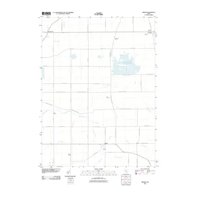
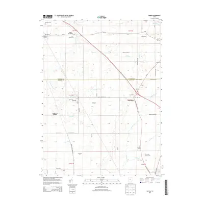
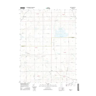
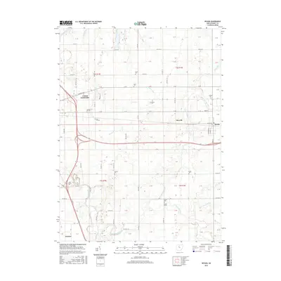
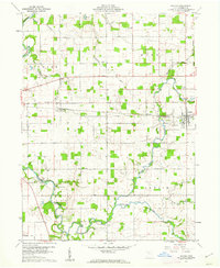 1960 Nevada1961 Print · USGSWyandot County farmland is captured here in the early sixties, showing the vital rail-and-river network of the era. Genealogists can trace family roots through numerous burial sites like Old Rock Run Cem, find the Covered Bridge, or locate Eden Sch.4 unique versions available
 - 1960 Map of Morral, 1962 Print
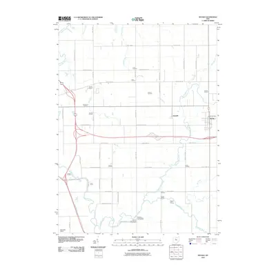
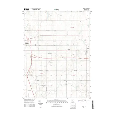
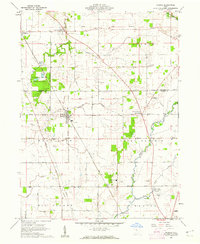 1960 Morral1962 Print · USGSMarion and Wyandot Counties come into focus during the early sixties, showing a landscape defined by the Old Indian Treaty Boundary. Genealogists can locate family names at Grand Prairie Cem or Bretz Cem, while tracing the Chesapeake and Ohio Road through Morral.3 unique versions available
 - 1960 Map of Upper Sandusky, 1962 Print
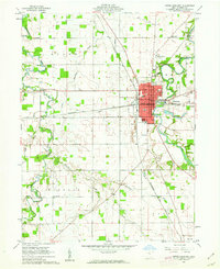 1960 Upper Sandusky1962 Print · USGSUpper Sandusky flourished as a railroad and river hub in the early sixties, anchored by the Sandusky River. Genealogists and historians can trace the town's growth through several schools, the Indian Mill, and burial grounds like Oak Hill Cemetery and Mission Cem.2 unique versions available
 - 1961 Map of Meeker, 1962 Print
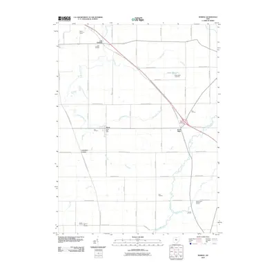
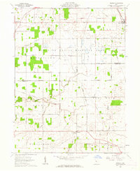 1961 Meeker1962 Print · USGSThe borderlands of Wyandot and Marion counties are captured here in the early sixties, showing a landscape defined by the historic Treaty Boundary. Researchers can locate old family cemeteries like Union Cem and Bowersville Cem or trace the early course of Tymochtee Creek.3 unique versions available
 - 1962 Map of Marion
 1962 Marion1962 Print · USGSCentral Ohio during the post-war era showcases a dense network of railroad towns and emerging interstate highways. Genealogists can trace family roots in smaller settlements like Houcktown and Marseilles or locate landmarks near Indian Lake.
 - 1966 Map of Marion, 1968 Print
 1966 Marion1968 Print · USGSCentral Ohio in the mid-sixties is captured during a period of rapid highway expansion and industrial connectivity. Genealogists and historians can trace rail-and-river networks through towns like Marion, Urbana, and Mount Vernon, or locate landmarks such as Malabar Farm and Black Hand Rock.3 unique versions available
 - 1986 Map of Marion
 1986 Marion1986 Print · USGSNorthwest Ohio's agricultural and rail heartland is captured here in the mid-1980s, centered on the expansion of Marion and Kenton. Genealogists can trace family footprints near Bluffton College, old rail stops like Dola, and landmarks such as Indian Lake State Park.2 unique versions available
 - 2010 Map of Upper Sandusky, 2010 Print
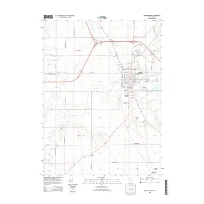
 2010 Upper Sandusky2010 Print · USGSCovers Pitt Township, including Upper Sandusky, Harpster, and other nearby areas
 - 2010 Map of Meeker, 2010 Print
 2010 Meeker2010 Print · USGSCovers Pitt Township, including Harpster, Grand Township, and other nearby areas
 - 2010 Map of Morral, 2010 Print
 2010 Morral2010 Print · USGSCovers Pitt Township, including Morral, Harpster, and other nearby areas
 - 2010 Map of Nevada, 2010 Print
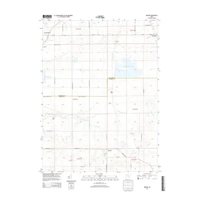
 2010 Nevada2010 Print · USGSCovers Pitt Township, including Upper Sandusky, Nevada, and other nearby areas
 - 2013 Map of Morral, 2013 Print
 2013 Morral2013 Print · USGSCovers Pitt Township, including Morral, Harpster, and other nearby areas
 - 2013 Map of Nevada, 2013 Print
 2013 Nevada2013 Print · USGSCovers Pitt Township, including Upper Sandusky, Nevada, and other nearby areas
 - 2013 Map of Upper Sandusky, 2013 Print
 2013 Upper Sandusky2013 Print · USGSCovers Pitt Township, including Upper Sandusky, Harpster, and other nearby areas
 - 2013 Map of Meeker, 2013 Print
 2013 Meeker2013 Print · USGSCovers Pitt Township, including Harpster, Grand Township, and other nearby areas
 - 2016 Map of Meeker, 2016 Print
 2016 Meeker2016 Print · USGSCovers Pitt Township, including Harpster, Grand Township, and other nearby areas
 - 2016 Map of Morral, 2016 Print
 2016 Morral2016 Print · USGSCovers Pitt Township, including Morral, Harpster, and other nearby areas
 - 2016 Map of Upper Sandusky, 2016 Print
 2016 Upper Sandusky2016 Print · USGSCovers Pitt Township, including Upper Sandusky, Harpster, and other nearby areas
 - 2016 Map of Nevada, 2016 Print
 2016 Nevada2016 Print · USGSCovers Pitt Township, including Upper Sandusky, Nevada, and other nearby areas
Showing maps 1-25 of 33
Top cities near Pitt Township
- Marion historical maps
- Upper Sandusky historical maps
- Crawford historical maps
- Carey historical maps
- Big Island historical maps
- Tymochtee historical maps
See more
Top neighborhoods of Pitt Township
Frequently asked questions
- What are the different types of historical maps available for Pitt Township?
- What is the oldest map of Pitt Township?
- Where can I purchase historical maps of Pitt Township for my home or office?
- Where can I download high-res historical maps of Pitt Township?
- Are there historical topographic maps available for Pitt Township?
- Is there historical aerial imagery available for Pitt Township?
- Where are historical maps of Pitt Township sourced from?