2020s Maps of Stilwell, Oklahoma
Explore 2 historic maps of Stilwell from the 2020s. These maps offer a rare glimpse into what life looked like during the 2020s — showing old roads, neighborhoods, homes, and landmarks that have changed or disappeared over time.
Whether you're researching your family's past, planning a metal detecting trip, or studying how Stilwell's landscape evolved across the 2020s, these high-resolution maps are a powerful tool for exploring the history of this region.
- Focus on a specific era: All maps on this page are from the 2020s, giving you a focused view of this time period.
- See what’s changed: Compare century-old streets, trails, and buildings to today's modern landscape using overlays and satellite layers.
- Research with precision: Use these maps for genealogy, historical research, land use analysis, or educational projects.
- View, download, or print: Maps are fully viewable online in high resolution, and can be downloaded or printed for your own records.
Start exploring Stilwell's history through authentic maps from the 2020s. This is your window into the past.
Stilwell, OK maps
(2)- 2022 Map of Stilwell West, 2022 Print
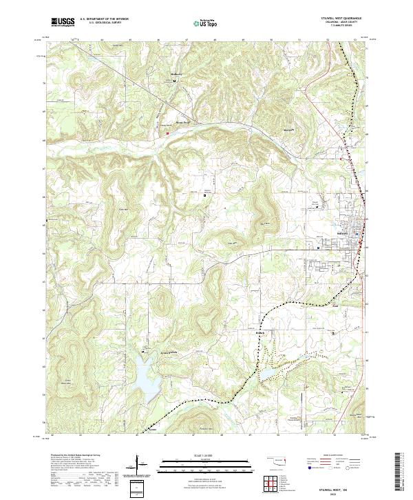 2022 Stilwell West2022 Print · USGSAdair County, Oklahoma, comes to life on this map of the Stilwell area, showing the community's growth amid the Ozark foothills. Genealogists and historians can trace local family lineages through Stilwell City Cem, Echota Cem, and the historic Adair County Courthouse.
 - 2022 Map of Stilwell East, 2022 Print
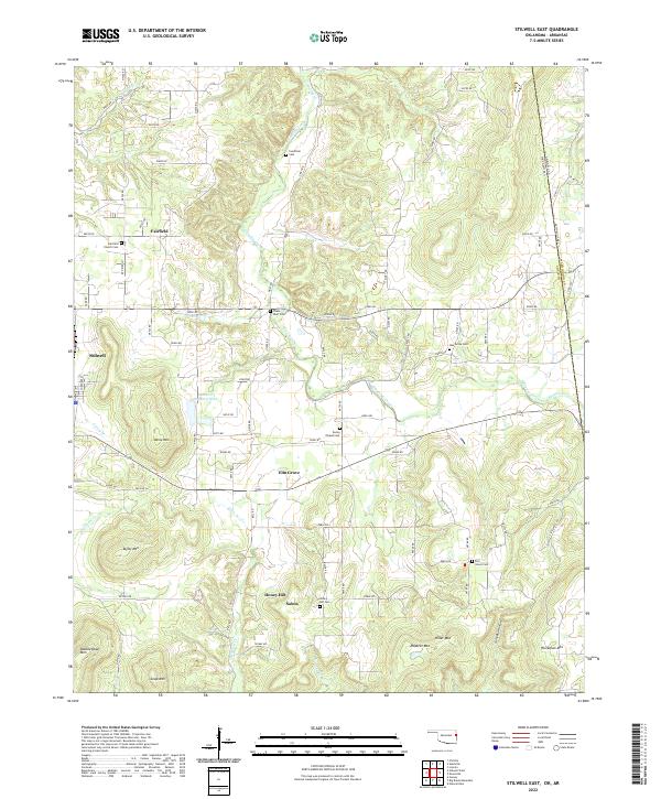 2022 Stilwell East2022 Print · USGSAdair County on the Oklahoma-Arkansas border is a landscape of mountain peaks and rural settlements. Researchers can trace family history through numerous burial sites like Fourkiller Cem and Oak Grove Cem or locate old community centers at Fairfield and Salem.
End of results
Showing maps 1-2 of 2
Top cities near Stilwell
Frequently asked questions
- What are the different types of historical maps available for Stilwell?
- What is the oldest map of Stilwell?
- Where can I purchase historical maps of Stilwell for my home or office?
- Where can I download high-res historical maps of Stilwell?
- Are there historical topographic maps available for Stilwell?
- Is there historical aerial imagery available for Stilwell?
- Where are historical maps of Stilwell sourced from?