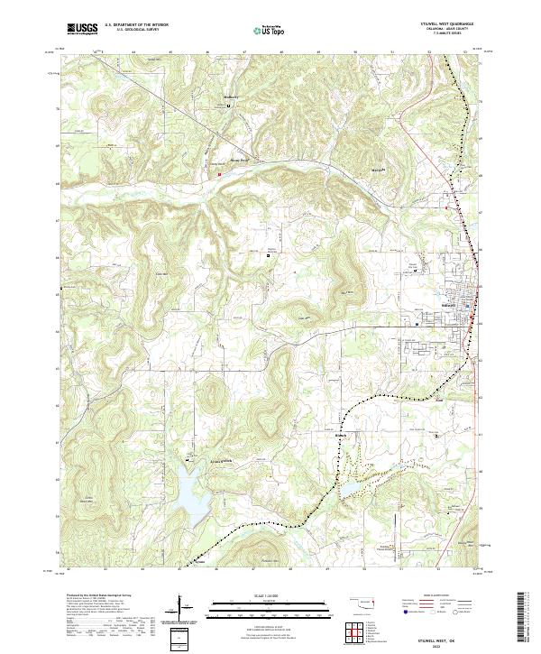
2022 Map of Stilwell West
USGS Topo · Published 2022About this map
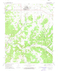
Stilwell serves as the focal point of this Oklahoma landscape, situated at the crossroads of regional commerce and the Adair County Courthouse. The town's grid expands westward into a series of prominent peaks, including West Mtn, Goat Mtn, and Coon Mtn. The surrounding countryside is defined by small agricultural clusters and significant family burial grounds such as Mulberry Hollow Cem and Tyler Spring Cem, reflecting a long history of local settlement.
Find a feature on this map
66 named features on this map. Tap any name to fly to it.
Don’t see what you’re looking for? This feature index may not catch every label — zoom into the map to look around manually.
Map Details
Editions of this 2022 Stilwell West Map
This is the sole edition of this map. No revisions or reprints were ever made.
Other maps of this area

1898 · Tahlequah
USGS Topo · 1:125,000

1901 · Tahlequah
USGS Topo · 1:125,000

1905 · Tahlequah
USGS Topo · 1:125,000

1946 · Fort Smith
USGS Topo · 1:250,000

1965 · Fort Smith
USGS Topo · 1:250,000

1967 · Fort Smith
USGS Topo · 1:250,000
1972 · Christie
USGS Topo · 1:24,000
1972 · Stilwell West
USGS Topo · 1:24,000
1972 · Tailholt
USGS Topo · 1:24,000
1972 · Westville
USGS Topo · 1:24,000