Old Maps of Stilwell, Oklahoma for Hiking & Exploration
Hike through history with 20 historic maps of Stilwell. Explore old trails, ghost towns, and forgotten backroads — perfect for outdoor adventurers and local explorers.
- Rediscover forgotten places: Map out old mining camps, roads, and footpaths that no longer exist on modern maps.
- Layer with modern tools: Combine with LiDAR or satellite views to plan hikes through historical terrain.
- Made for exploration: Popular among hikers, overlanders, and local history lovers.
Use these maps to find adventure and explore the hidden past of Stilwell.
Stilwell, OK maps
(20)- 1898 Map of Tahlequah, 1954 Print
 1898 Tahlequah1954 Print · USGSThe Cherokee Nation capital and the surrounding Indian Territory come to life in this survey conducted before Oklahoma statehood. Genealogists can trace family-named landmarks and early institutions like the Female Seminary, Salem Springs, and the Cherokee Insane Asylum.
 - 1901 Map of Tahlequah
 1901 Tahlequah1901 Print · USGSTahlequah and the Cherokee Nation are captured here during the final years of the Indian Territory era. Genealogists can locate family landmarks such as the Female Seminary, Elm Springs Mission, and the rail-stop settlements of Stilwell and Wauhillau.8 unique versions available
 - 1905 Map of Tahlequah
 1905 Tahlequah1905 Print · USGSTahlequah and the surrounding Cherokee Nation are captured here in the years before Oklahoma statehood. Researchers can trace the early rail routes and find historic sites like the Female Seminary, the Cherokee Orphan Asylum, and Elm Springs Mission.
 - 1946 Map of Fort Smith
 1946 Fort Smith1946 Print · USGSThe Arkansas-Oklahoma borderlands appear here in the mid-forties, as new reservoirs began to transform the river valleys. Genealogists and historians can trace rail-served towns from Muskogee to Fort Smith and locate landmarks like Camp Chaffee.
 - 1965 Map of Fort Smith
 1965 Fort Smith1965 Print · USGSEastern Oklahoma and Western Arkansas are captured here during a period of massive post-war change as new reservoirs reshaped the river valleys. Genealogists and historians can trace the rail networks of the Midland Valley RR and find established communities like Stilwell, Sallisaw, and Stigler.
 - 1967 Map of Fort Smith
 1967 Fort Smith1967 Print · USGSThe Arkansas River valley and the foothills of the Ozarks are captured here during a period of significant military and industrial activity. Researchers can trace the sprawling bounds of Camp Chaffee and Camp Gruber or locate vanished rail stops along the Midland Valley RR.
 - 1972 Map of Stilwell West, 1974 Print
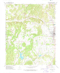 1972 Stilwell West1974 Print · USGSAdair County in the early seventies shows the growing community of Stilwell anchored by the Kansas City Southern railroad and several prominent peaks. Genealogists can trace family names and local history through rural landmarks like Maryetta Sch, Zion Ch, and Stony Point.
 - 1972 Map of Stilwell East, 1974 Print
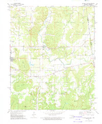 1972 Stilwell East1974 Print · USGSAdair County, Oklahoma, comes into focus in the early 1970s, where the Ozark foothills meet the Arkansas border. Genealogists and historians can trace the OLD INDIAN TREATY BOUNDARY and locate many rural landmarks like Fourkiller Cem and Rock Springs Ch.
 - 1978 Map of Fort Smith, 1979 Print
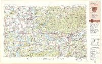 1978 Fort Smith1979 Print · USGSThe Arkansas-Oklahoma borderlands in the late seventies show a landscape shaped by massive river reservoirs and sprawling military reservations. Trace the historic rail lines of the Missouri Pacific RR and locate regional landmarks like Fort Gibson, Tenkiller Ferry Lake, and Barling.2 unique versions available
 - 1978 Map of Stilwell, 1979 Print
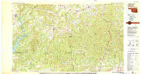 1978 Stilwell1979 Print · USGSThe Oklahoma-Arkansas borderlands come alive in the late seventies, showing the transition from the Cherokee Nation hills to the Arkansas Ozarks. Researchers can trace the Kansas City Southern rail line through Stilwell, find Wrights Chapel, or locate the Northeastern State College campus in Tahlequah.
 - 2010 Map of Stilwell West, 2010 Print
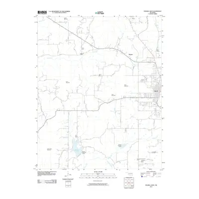 2010 Stilwell West2010 Print · USGSAdair County near the turn of the decade reflects a landscape of rugged Oklahoma hills and managed waterways west of Stilwell. Family history researchers can trace locations like Clear Spring Cemetery, the community of Marietta, and landmarks such as Gittin Down Mountain.
 - 2011 Map of Stilwell East, 2011 Print
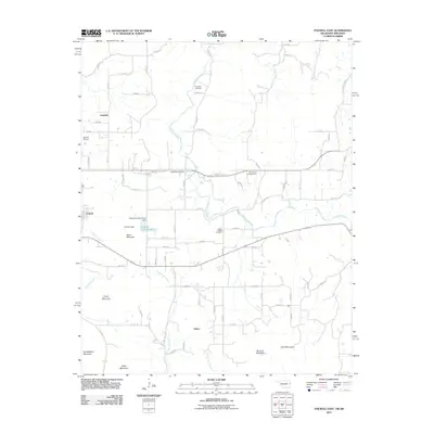 2011 Stilwell East2011 Print · USGSThe foothills of the Ozarks come alive in this early 2000s study of the Oklahoma-Arkansas borderlands. Genealogists and local historians can trace family sites at Fourkiller Cemetery or explore the geography of Muskrat Mountain and Salem.
 - 2012 Map of Stilwell East, 2012 Print
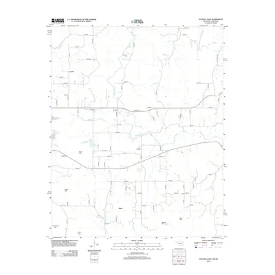 2012 Stilwell East2012 Print · USGSThe Oklahoma-Arkansas borderlands are captured here in the early twenty-first century, showing a landscape of scattered rural settlements and significant mountain peaks. Family historians can locate ancestral sites at Fourkiller Cem, Ewing Chapel Cem, and the communities of Fairfield and Salem.
 - 2012 Map of Stilwell West, 2012 Print
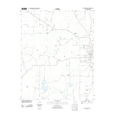 2012 Stilwell West2012 Print · USGSAdair County's hills and rural townships are captured here in the early twenty-first century as Stilwell expanded westward. Local historians can trace family roots at Pilgrims Rest Cem, Doublehead Cem, and the small community of Stony Point.
 - 2016 Map of Stilwell West, 2016 Print
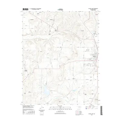 2016 Stilwell West2016 Print · USGSAdair County shows its blend of small-town life and high-country terrain during the mid-2010s. Genealogists and local historians can trace family roots through numerous burial grounds like Pilgrims Rest Cem, Zion Cem, and the rural community at Titanic.
 - 2016 Map of Stilwell East, 2016 Print
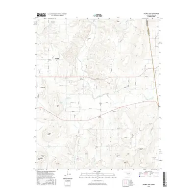 2016 Stilwell East2016 Print · USGSAdair County and the Oklahoma-Arkansas borderlands are captured here in the mid-2010s, showing a landscape of high ridges and rural settlements. Genealogists can trace numerous local burial grounds including Fourkiller Cem, Oak Grove Cem, and Elm Grove Cem.
 - 2019 Map of Stilwell West, 2019 Print
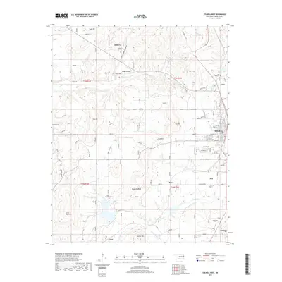 2019 Stilwell West2019 Print · USGSAdair County at the close of the 2010s reveals a landscape of high ridges and scattered rural communities. Genealogists can trace family names and sites across Stilwell City Cem, Lyons Switch, and the hollows surrounding Goat Mtn.
 - 2019 Map of Stilwell East, 2019 Print
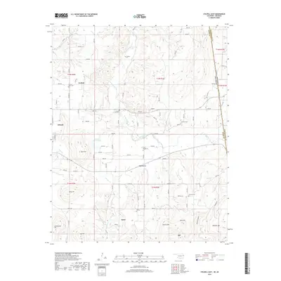 2019 Stilwell East2019 Print · USGSThe Oklahoma-Arkansas border comes alive in this survey of eastern Adair County, showing a landscape of high ridges and rural settlements. Researchers can locate numerous family and community landmarks, including Fairfield Church Cem, Elm Grove, and Doublehead Mtn.
 - 2022 Map of Stilwell West, 2022 Print
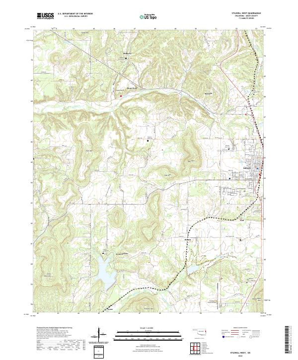 2022 Stilwell West2022 Print · USGSAdair County, Oklahoma, comes to life on this map of the Stilwell area, showing the community's growth amid the Ozark foothills. Genealogists and historians can trace local family lineages through Stilwell City Cem, Echota Cem, and the historic Adair County Courthouse.
 - 2022 Map of Stilwell East, 2022 Print
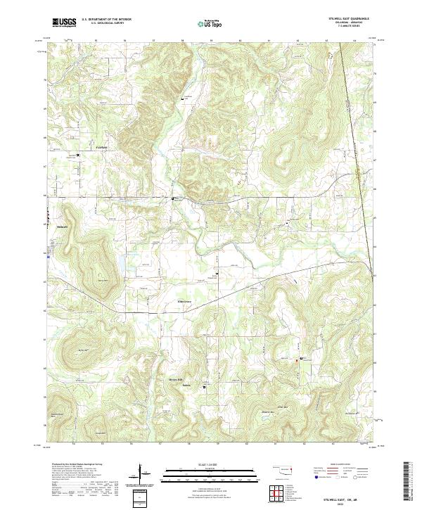 2022 Stilwell East2022 Print · USGSAdair County on the Oklahoma-Arkansas border is a landscape of mountain peaks and rural settlements. Researchers can trace family history through numerous burial sites like Fourkiller Cem and Oak Grove Cem or locate old community centers at Fairfield and Salem.
End of results
Showing maps 1-20 of 20
Top cities near Stilwell
Frequently asked questions
- What are the different types of historical maps available for Stilwell?
- What is the oldest map of Stilwell?
- Where can I purchase historical maps of Stilwell for my home or office?
- Where can I download high-res historical maps of Stilwell?
- Are there historical topographic maps available for Stilwell?
- Is there historical aerial imagery available for Stilwell?
- Where are historical maps of Stilwell sourced from?