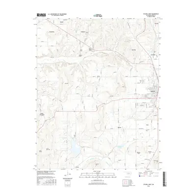
2016 Map of Stilwell West
USGS Topo · Published 2016About this map
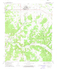
Stilwell serves as the primary hub in this eastern Oklahoma landscape, where the residential grid meets the commercial activity of Industrial Park Rd. The surrounding terrain is defined by a series of prominent elevations and creek valleys, including Rocky Mountain, Coon Mtn, and the distinctive Goat Mtn. The rural character of the area is anchored by scattered settlements like Titanic and Wauhillau, which are connected by a network of local roads such as E0800 Rd and Stone Pt Rd.
Find a feature on this map
70 named features on this map. Tap any name to fly to it.
Don’t see what you’re looking for? This feature index may not catch every label — zoom into the map to look around manually.
Map Details
Editions of this 2016 Stilwell West Map
This is the sole edition of this map. No revisions or reprints were ever made.
Other maps of this area

1898 · Tahlequah
USGS Topo · 1:125,000

1901 · Tahlequah
USGS Topo · 1:125,000

1905 · Tahlequah
USGS Topo · 1:125,000

1946 · Fort Smith
USGS Topo · 1:250,000

1965 · Fort Smith
USGS Topo · 1:250,000

1967 · Fort Smith
USGS Topo · 1:250,000
1972 · Christie
USGS Topo · 1:24,000
1972 · Stilwell West
USGS Topo · 1:24,000
1972 · Tailholt
USGS Topo · 1:24,000
1972 · Westville
USGS Topo · 1:24,000