Old Maps of Sayre, Oklahoma for Hiking & Exploration
Hike through history with 23 historic maps of Sayre. Explore old trails, ghost towns, and forgotten backroads — perfect for outdoor adventurers and local explorers.
- Rediscover forgotten places: Map out old mining camps, roads, and footpaths that no longer exist on modern maps.
- Layer with modern tools: Combine with LiDAR or satellite views to plan hikes through historical terrain.
- Made for exploration: Popular among hikers, overlanders, and local history lovers.
Use these maps to find adventure and explore the hidden past of Sayre.
Sayre, OK maps
(23)- 1955 Map of Clinton, 1964 Print
 1955 Clinton1964 Print · USGSWestern Oklahoma during the mid-century transition shows a landscape of growing reservoirs and active military flight lines. Genealogists and historians can locate rural landmarks such as Mountain View Church, Berlin School, and the Riverside Indian School Reserve.3 unique versions available
 - 1957 Map of Clinton
 1957 Clinton1957 Print · USGSWestern Oklahoma in the mid-fifties is captured here as a landscape of river-valley settlements and emerging energy fields. Genealogists can trace family roots through numerous rural landmarks like the Swapping Back Indian School, Hebron Church, and the Riverside Indian School Reserve.
 - 1960 Map of Sayre, 1961 Print
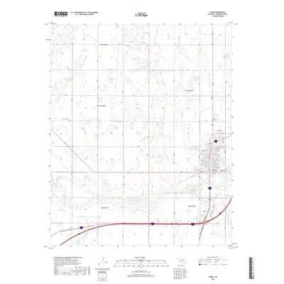
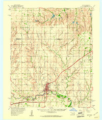 1960 Sayre1961 Print · USGSWestern Oklahoma’s river valleys and rail lines are captured here at the dawn of the 1960s. Genealogists can locate rural landmarks such as Lone Oak Ch, the Sayre-Doxey Cem, and the community of Delhi.2 unique versions available
 - 1961 Map of Willow, 1963 Print
 1961 Willow1963 Print · USGSWestern Oklahoma in the early sixties remains a landscape of rail-connected farming towns and winding river forks. Family historians can trace rural roots through Deer Creek Ch, Carter Cem, and the path of the Missouri Kansas Texas railroad.2 unique versions available
 - 1985 Map of Elk City
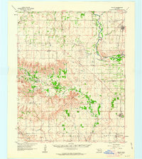
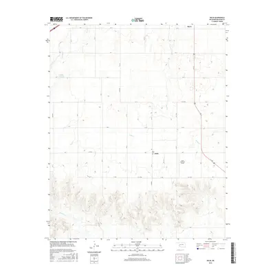
 1985 Elk City1985 Print · USGSWestern Oklahoma in the 1980s is defined by its railroad junctions, emerging aviation hubs, and the winding North Fork Red River. Genealogists and local historians can trace the foundations of Sayre and Elk City, alongside landmarks like Clinton-Sherman Airport and Quartz Mountain State Park.2 unique versions available
 - 1989 Map of Delhi
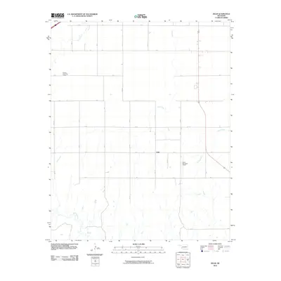
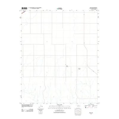
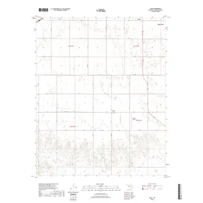
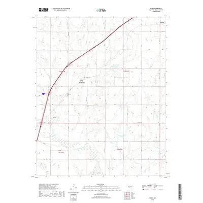
 1989 Delhi1989 Print · USGSBeckham County in the late eighties reveals a landscape shaped by rural life and the energy industry. Genealogists and historians can trace family-named sites near Delhi, locate the community Cem, or study infrastructure like the Gas Storage Area and Sayre Municipal Airport.
 - 1989 Map of Doxey
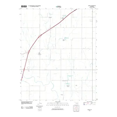
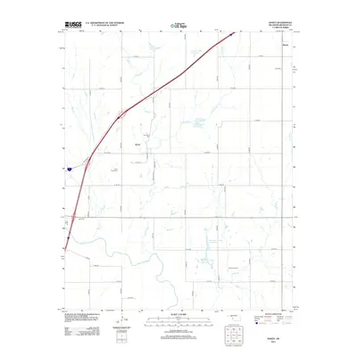
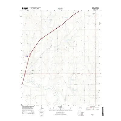
 1989 Doxey1989 Print · USGSBeckham County in the late eighties shows a landscape of river bends and energy production along the North Fork Red River. Genealogists and local historians can trace the areas around Sayre, Doxey, and the Sayre-Doxey Cem.
 - 1989 Map of Sayre
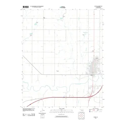
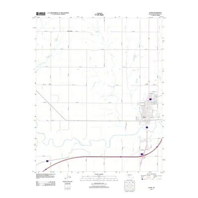
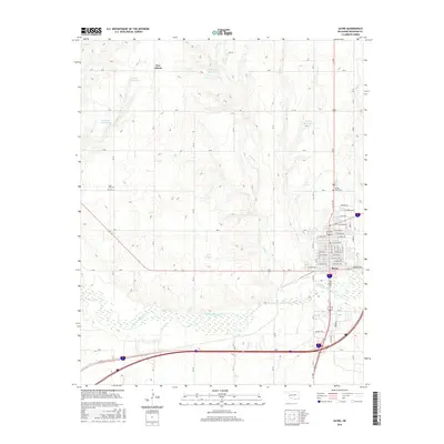
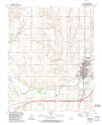 1989 Sayre1989 Print · USGSWestern Oklahoma's Beckham County landscape comes into focus in the late eighties, centered on the river-bend town of Sayre. Trace local landmarks like SW Okla St Univ, Sacred Heart Cem, and the rural community at New Liberty.
 - 2010 Map of Doxey, 2010 Print
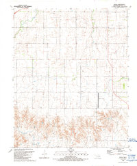
 2010 Doxey2010 Print · USGSCovers Sayre, including Elk City, Doxey, and other nearby areas
 - 2010 Map of Delhi, 2010 Print
 2010 Delhi2010 Print · USGSCovers Sayre, including Elk City, Delhi, and other nearby areas
 - 2010 Map of Sayre, 2010 Print
 2010 Sayre2010 Print · USGSCovers Sayre, including New Liberty, Beckham County, and other nearby areas
 - 2012 Map of Sayre, 2012 Print
 2012 Sayre2012 Print · USGSCovers Sayre, including New Liberty, Beckham County, and other nearby areas
 - 2012 Map of Delhi, 2012 Print
 2012 Delhi2012 Print · USGSCovers Sayre, including Elk City, Delhi, and other nearby areas
 - 2012 Map of Doxey, 2012 Print
 2012 Doxey2012 Print · USGSCovers Sayre, including Elk City, Doxey, and other nearby areas
 - 2016 Map of Delhi, 2016 Print
 2016 Delhi2016 Print · USGSCovers Sayre, including Elk City, Delhi, and other nearby areas
 - 2016 Map of Sayre, 2016 Print
 2016 Sayre2016 Print · USGSCovers Sayre, including New Liberty, Beckham County, and other nearby areas
 - 2016 Map of Doxey, 2016 Print
 2016 Doxey2016 Print · USGSCovers Sayre, including Elk City, Doxey, and other nearby areas
 - 2018 Map of Delhi, 2018 Print
 2018 Delhi2018 Print · USGSCovers Sayre, including Elk City, Delhi, and other nearby areas
 - 2018 Map of Doxey, 2018 Print
 2018 Doxey2018 Print · USGSCovers Sayre, including Elk City, Doxey, and other nearby areas
 - 2018 Map of Sayre, 2018 Print
 2018 Sayre2018 Print · USGSCovers Sayre, including New Liberty, Beckham County, and other nearby areas
 - 2022 Map of Doxey, 2022 Print
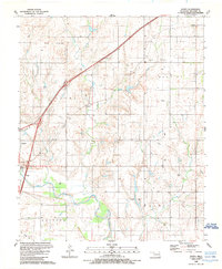
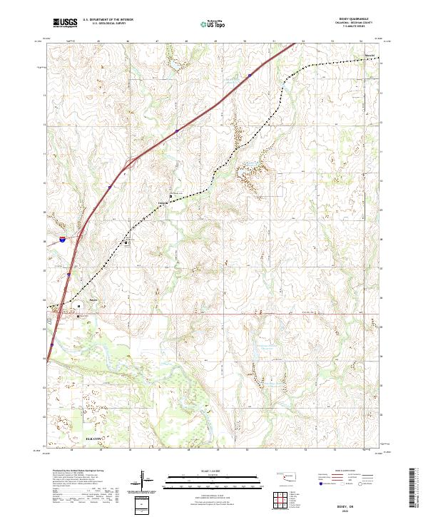 2022 Doxey2022 Print · USGSWestern Oklahoma’s prairie landscape is mapped here in the early 2020s, centered on the community of Doxey and the northern outskirts of Sayre. Researchers can trace local heritage through the Old Doxey Cem and the winding course of the North Fork Red River.
 - 2022 Map of Sayre, 2022 Print
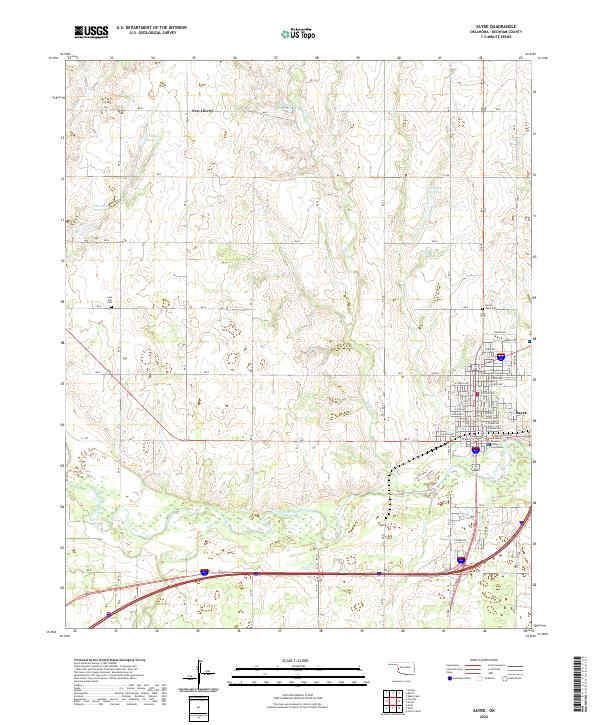 2022 Sayre2022 Print · USGSThe county seat of Sayre and its surrounding ranchlands are documented here in the early 2020s. Researchers can trace family history at Lone Oak Cem or explore the river bottom terrain along the North Fork Red River and Turkey Cr.
 - 2022 Map of Delhi, 2022 Print
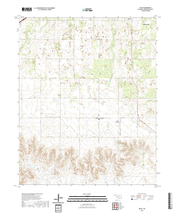 2022 Delhi2022 Print · USGSWestern Oklahoma’s agricultural landscape is documented here in the early twenty-first century near the settlement of Delhi. Genealogists and researchers can locate the Delhi Cem and trace the drainage of Sand Cr and Haystack Cr.
End of results
Showing maps 1-23 of 23
Top cities near Sayre
Frequently asked questions
- What are the different types of historical maps available for Sayre?
- What is the oldest map of Sayre?
- Where can I purchase historical maps of Sayre for my home or office?
- Where can I download high-res historical maps of Sayre?
- Are there historical topographic maps available for Sayre?
- Is there historical aerial imagery available for Sayre?
- Where are historical maps of Sayre sourced from?