Old Maps of Eagle City, Oklahoma for Academic Research
Study the evolution of Eagle City with 10 high-resolution historic maps. Whether you're teaching, researching, or modeling changes in land use, these maps provide essential visual documentation of urban, environmental, and geographic change.
- Analyze long-term change: Track patterns in development, transportation, and natural features.
- Ideal for environmental or urban studies: Support academic projects with primary historical map data.
- Use in the classroom or lab: Educators and researchers rely on these maps to bring historical context to life.
These maps are a powerful tool for teaching, research, and visualizing how Eagle City has changed over the decades.
Eagle City, OK maps
(10)- 1955 Map of Clinton, 1964 Print
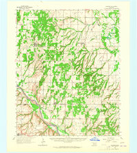
 1955 Clinton1964 Print · USGSWestern Oklahoma during the mid-century transition shows a landscape of growing reservoirs and active military flight lines. Genealogists and historians can locate rural landmarks such as Mountain View Church, Berlin School, and the Riverside Indian School Reserve.3 unique versions available
 - 1957 Map of Clinton
 1957 Clinton1957 Print · USGSWestern Oklahoma in the mid-fifties is captured here as a landscape of river-valley settlements and emerging energy fields. Genealogists can trace family roots through numerous rural landmarks like the Swapping Back Indian School, Hebron Church, and the Riverside Indian School Reserve.
 - 1964 Map of Oakwood, 1965 Print
 1964 Oakwood1965 Print · USGSWestern Oklahoma is captured here in the mid-1960s as a landscape of rural townships and developing oil fields. Researchers can trace family roots through several country churches and cemeteries like Mt Pleasant Ch, Mt Hope Cem, and the village of Eagle City.2 unique versions available
 - 1985 Map of Eagle City
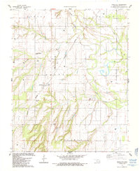 1985 Eagle City1985 Print · USGSMid-1980s Blaine County comes into focus through this survey of Eagle City and its agricultural surroundings during a period of active energy exploration. Genealogists and researchers can pinpoint the Eagle City Cem or trace the Burlington Northern rail line and the winding North Canadian River.
 - 1985 Map of Watonga
 1985 Watonga1985 Print · USGSCentral Oklahoma in the mid-eighties shows a robust network of river-valley settlements and rural rail lines. Genealogists and historians can trace the footprint of Southwestern State College, the historic Fort Reno, and family-named landmarks like Dead Women Crossing.2 unique versions available
 - 2009 Map of Eagle City, 2009 Print
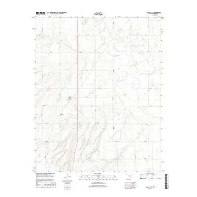
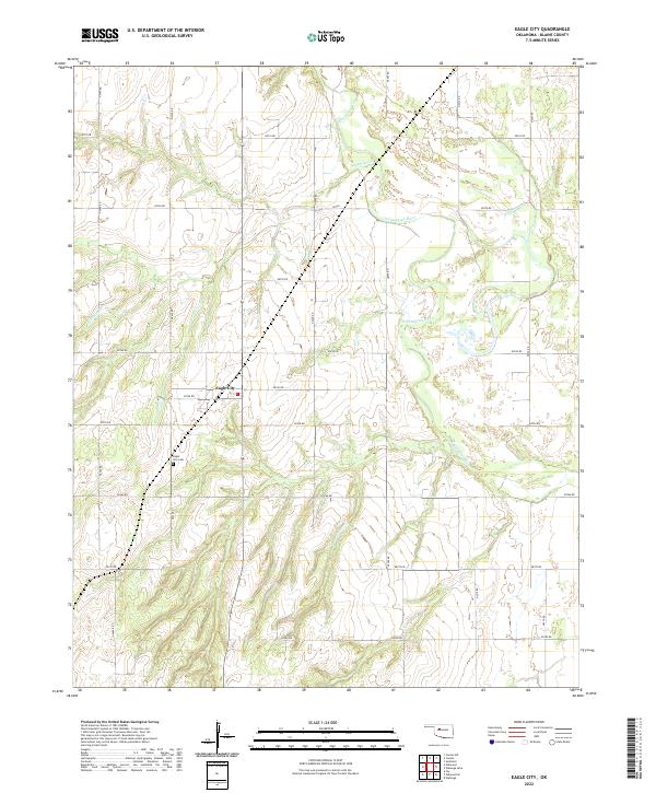
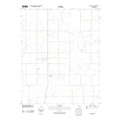 2009 Eagle City2009 Print · USGSCovers Eagle City, including Blaine County, United States, and other nearby areas
 - 2012 Map of Eagle City, 2012 Print
 2012 Eagle City2012 Print · USGSCovers Eagle City, including Blaine County, United States, and other nearby areas
 - 2016 Map of Eagle City, 2016 Print
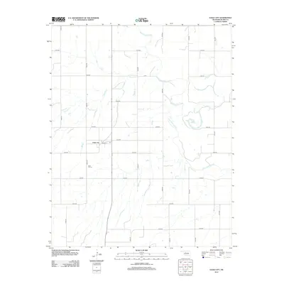
 2016 Eagle City2016 Print · USGSCovers Eagle City, including Blaine County, United States, and other nearby areas
 - 2018 Map of Eagle City, 2018 Print
 2018 Eagle City2018 Print · USGSCovers Eagle City, including Blaine County, United States, and other nearby areas
 - 2022 Map of Eagle City, 2022 Print
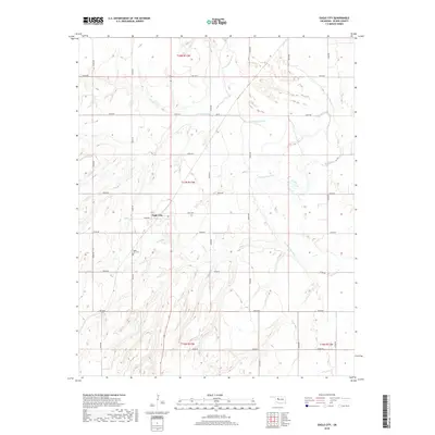
 2022 Eagle City2022 Print · USGSBlaine County's rural heartland is documented here in 2022, centering on the small community of Eagle City. Researchers can locate the Eagle City Cemetery and trace the winding course of the North Canadian River through the prairie.
End of results
Showing maps 1-10 of 10
Top cities near Eagle City
- Watonga historical maps
- Thomas historical maps
- Canton historical maps
- Longdale historical maps
- Greenfield historical maps
- Oakwood historical maps
Frequently asked questions
- What are the different types of historical maps available for Eagle City?
- What is the oldest map of Eagle City?
- Where can I purchase historical maps of Eagle City for my home or office?
- Where can I download high-res historical maps of Eagle City?
- Are there historical topographic maps available for Eagle City?
- Is there historical aerial imagery available for Eagle City?
- Where are historical maps of Eagle City sourced from?