Old Maps of Okeene, Oklahoma for Academic Research
Study the evolution of Okeene with 15 high-resolution historic maps. Whether you're teaching, researching, or modeling changes in land use, these maps provide essential visual documentation of urban, environmental, and geographic change.
- Analyze long-term change: Track patterns in development, transportation, and natural features.
- Ideal for environmental or urban studies: Support academic projects with primary historical map data.
- Use in the classroom or lab: Educators and researchers rely on these maps to bring historical context to life.
These maps are a powerful tool for teaching, research, and visualizing how Okeene has changed over the decades.
Okeene, OK maps
(15)- 1955 Map of Woodward, 1967 Print
 1955 Woodward1967 Print · USGSNorthwest Oklahoma and the bordering plains are captured during the mid-sixties, showing a landscape defined by river valleys and massive water projects. Researchers can trace family roots in towns like Woodward and Alva or locate landmarks such as the Western Oklahoma State Hospital and Kegelman AF.3 unique versions available
 - 1958 Map of Woodward
 1958 Woodward1958 Print · USGSNorthwest Oklahoma and the neighboring panhandle borders are shown here during a period of steady mid-century growth. Researchers can trace the rail networks of the Atchison Topeka and Santa Fe and locate landmarks like the Western Oklahoma State Hospital and Port Supply Reservoir.2 unique versions available
 - 1972 Map of Okeene, 1974 Print
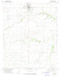 1972 Okeene1974 Print · USGSOklahoma's northern prairie at the start of the 1970s reveals a landscape defined by intersectional rail lines and energy exploration. Local historians can trace the routes of the St Louis - San Francisco and locate family landmarks like Tulles Cem or Peaceful Cem.
 - 1972 Map of Isabella, 1974 Print
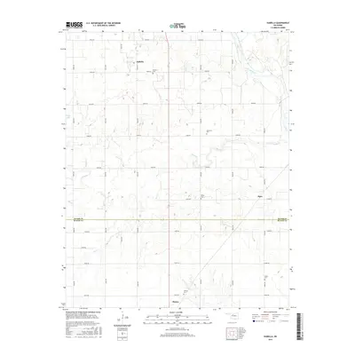
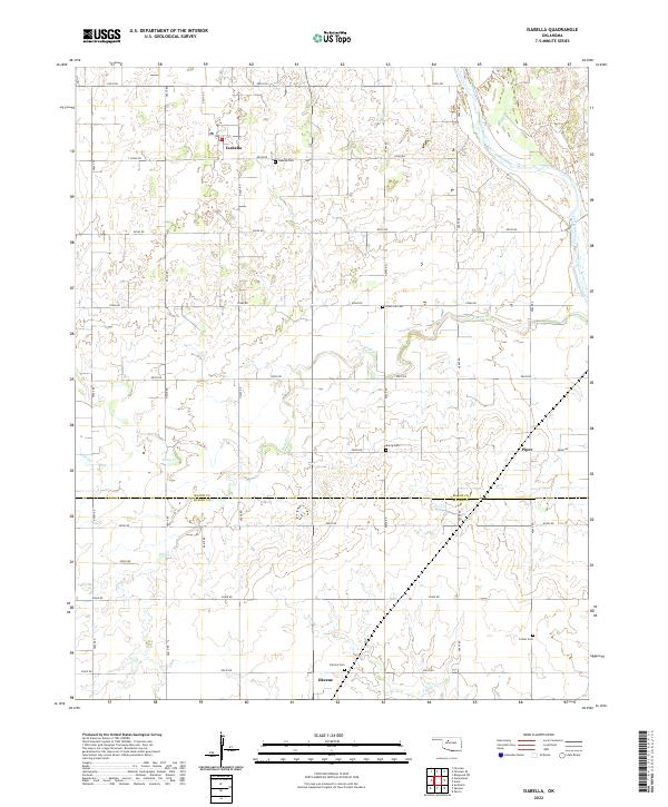
 1972 Isabella1974 Print · USGSNorthwest Oklahoma prairie life is captured here in the early 1970s as energy production and railroads defined the landscape. Genealogists can trace family footprints at Isabella Cem or Bierig Cem and follow the path of the St Louis San Francisco railroad.
 - 1986 Map of Fairview
 1986 Fairview1986 Print · USGSMajor County and the Cimarron River valley are shown here in the mid-1980s as the rail networks of the Atchison Topeka and Santa Fe still linked the plains. Researchers can trace rural lineages through settlements like Cheyenne Valley, Bouse Junction, and the terrain surrounding Canton Lake.2 unique versions available
 - 2009 Map of Okeene, 2009 Print
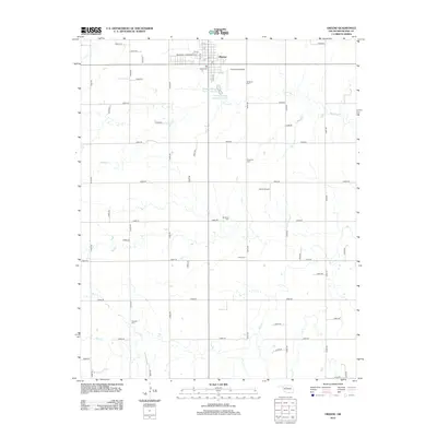
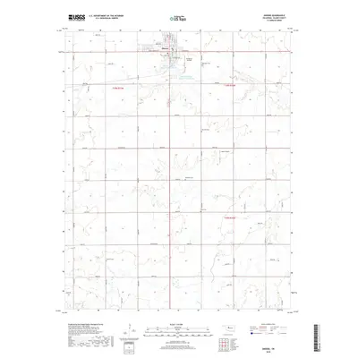
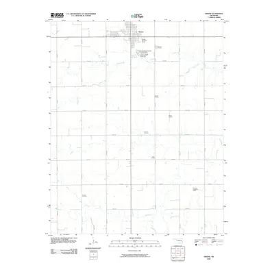 2009 Okeene2009 Print · USGSCovers Okeene, including Blaine County, United States, and other nearby areas
 - 2009 Map of Isabella, 2009 Print
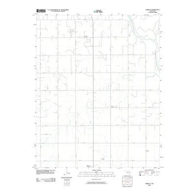 2009 Isabella2009 Print · USGSCovers Okeene, including Piper, Isabella, and other nearby areas
 - 2012 Map of Isabella, 2012 Print
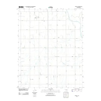 2012 Isabella2012 Print · USGSCovers Okeene, including Piper, Isabella, and other nearby areas
 - 2012 Map of Okeene, 2012 Print
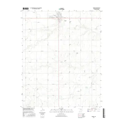
 2012 Okeene2012 Print · USGSCovers Okeene, including Blaine County, United States, and other nearby areas
 - 2016 Map of Okeene, 2016 Print
 2016 Okeene2016 Print · USGSCovers Okeene, including Blaine County, United States, and other nearby areas
 - 2016 Map of Isabella, 2016 Print
 2016 Isabella2016 Print · USGSCovers Okeene, including Piper, Isabella, and other nearby areas
 - 2018 Map of Isabella, 2018 Print
 2018 Isabella2018 Print · USGSCovers Okeene, including Piper, Isabella, and other nearby areas
 - 2018 Map of Okeene, 2018 Print
 2018 Okeene2018 Print · USGSCovers Okeene, including Blaine County, United States, and other nearby areas
 - 2022 Map of Isabella, 2022 Print
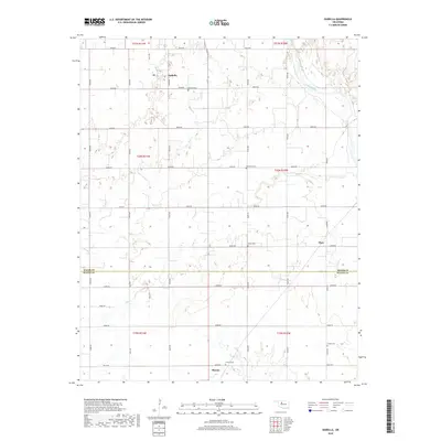
 2022 Isabella2022 Print · USGSThe prairie landscape of Major and Blaine Counties comes into focus through this survey of the Isabella and Okeene area. Researchers can trace rural lineages through several local burial sites, including Isabella Cemetery, Bierig Cemetery, and Collins Cemetery.
 - 2022 Map of Okeene, 2022 Print
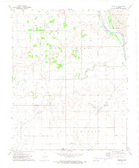
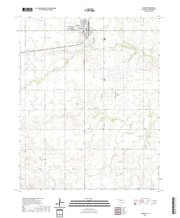 2022 Okeene2022 Print · USGSOklahoma's Blaine County is captured here in the early twenty-first century as a landscape of grid-aligned farms and quiet rural settlements. Researchers can trace ancestral locations across five different burial sites, including Tulles Cem and Peaceful Cem, or locate local landmarks like Christman Airfield.
End of results
Showing maps 1-15 of 15
Top cities near Okeene
- Watonga historical maps
- Fairview historical maps
- Ames historical maps
- Hitchcock historical maps
- Loyal historical maps
Frequently asked questions
- What are the different types of historical maps available for Okeene?
- What is the oldest map of Okeene?
- Where can I purchase historical maps of Okeene for my home or office?
- Where can I download high-res historical maps of Okeene?
- Are there historical topographic maps available for Okeene?
- Is there historical aerial imagery available for Okeene?
- Where are historical maps of Okeene sourced from?