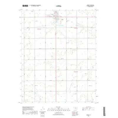
2018 Map of Okeene
USGS Topo · Published 2018About this map
Okeene serves as the primary hub for this section of Blaine County, where the street grid organizes life around central thoroughfares like Broadway, Grant Ave, and W Oklahoma Ave. The surrounding rural landscape is defined by a dense network of sectional roads and the meandering courses of Spring Cr and Salt Cr. Aviation plays a notable role in the local infrastructure, with both Christman Airfield and Lamle Airport serving the agricultural community.
Find a feature on this map
53 named features on this map. Tap any name to fly to it.
Don’t see what you’re looking for? This feature index may not catch every label — zoom into the map to look around manually.
Map Details
Editions of this 2018 Okeene Map
This is the sole edition of this map. No revisions or reprints were ever made.
Other maps of this area
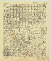
1893 · Loyal
USGS Topo · 1:62,500
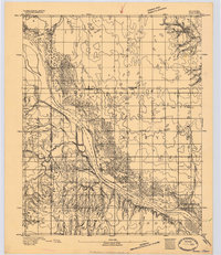
1893 · Ames
USGS Topo · 1:62,500

1955 · Clinton
USGS Topo · 1:250,000

1955 · Woodward
USGS Topo · 1:250,000
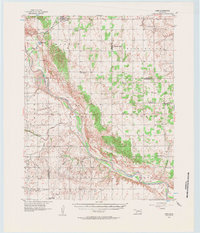
1956 · Ames
USGS Topo · 1:62,500

1957 · Clinton
USGS Topo · 1:250,000

1958 · Woodward
USGS Topo · 1:250,000
1972 · Loyal NW
USGS Topo · 1:24,000
1972 · Southard
USGS Topo · 1:24,000
1972 · Okeene
USGS Topo · 1:24,000