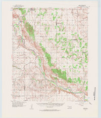
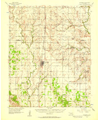
1956 Map of Ames
USGS Topo · Published 1957About this map
Ames serves as the primary hub in this mid-century Oklahoma landscape, situated along the ST Louis San Francisco railroad. The territory is defined by the wide, winding path of the Cimarron River, which carves through the Cimarron Valley and separates Major, Garfield, Kingfisher, and Blaine counties. This era reveals a rural community supported by a network of small schools and country churches, such as Dunbar Sch and the Wesleyan Chapel.
Find a feature on this map
35 named features on this map. Tap any name to fly to it.
Don’t see what you’re looking for? This feature index may not catch every label — zoom into the map to look around manually.
Map Details
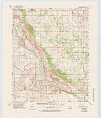
Editions of this 1956 Ames Map
2 editions found
Other maps of this area

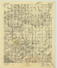
1892 · Kingfisher
USGS Topo · 1:125,000
1893 · Hennessey
USGS Topo · 1:62,500
1893 · Loyal
USGS Topo · 1:62,500
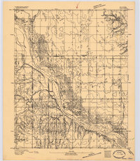
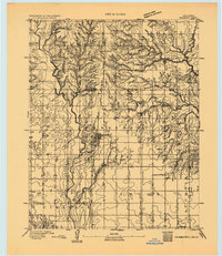
1893 · Ames
USGS Topo · 1:62,500

1895 · Kingfisher
USGS Topo · 1:125,000

1954 · Oklahoma City
USGS Topo · 1:250,000

1955 · Clinton
USGS Topo · 1:250,000

1955 · Enid
USGS Topo · 1:250,000

1955 · Woodward
USGS Topo · 1:250,000
1956 · Hennessey
USGS Topo · 1:62,500