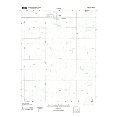
2012 Map of Okeene
USGS Topo · Published 2012About this map
Okeene serves as the primary hub of this Blaine County landscape, where the town's street grid, including Broadway and Grant Ave, meets the surrounding agricultural plains. The 2012 topography reveals a region defined by its reliance on water and aviation, evidenced by the courses of Spring Creek and Salt Creek as well as localized transport points like Christman Airfield and Lamle Airport. Genealogists will find this particular survey especially valuable for its documentation of numerous rural cemeteries that dot the section lines. These burial grounds, including Roselawn Cemetery, Ebenfeld Cemetery, Brickman Cemetery, Tulles Cemetery, and Peaceful Cemetery, provide essential anchor points for family history research and territorial settlement patterns outside the main town center.
Find a feature on this map
53 named features on this map. Tap any name to fly to it.
Don’t see what you’re looking for? This feature index may not catch every label — zoom into the map to look around manually.
Map Details
Editions of this 2012 Okeene Map
This is the sole edition of this map. No revisions or reprints were ever made.
Other maps of this area
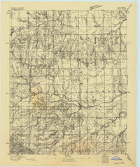
1893 · Loyal
USGS Topo · 1:62,500
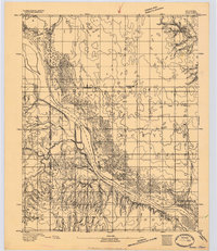
1893 · Ames
USGS Topo · 1:62,500

1955 · Clinton
USGS Topo · 1:250,000

1955 · Woodward
USGS Topo · 1:250,000
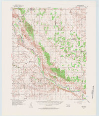
1956 · Ames
USGS Topo · 1:62,500

1957 · Clinton
USGS Topo · 1:250,000

1958 · Woodward
USGS Topo · 1:250,000
1972 · Loyal NW
USGS Topo · 1:24,000
1972 · Southard
USGS Topo · 1:24,000
1972 · Okeene
USGS Topo · 1:24,000