Old Maps of Watonga, Oklahoma for Academic Research
Study the evolution of Watonga with 15 high-resolution historic maps. Whether you're teaching, researching, or modeling changes in land use, these maps provide essential visual documentation of urban, environmental, and geographic change.
- Analyze long-term change: Track patterns in development, transportation, and natural features.
- Ideal for environmental or urban studies: Support academic projects with primary historical map data.
- Use in the classroom or lab: Educators and researchers rely on these maps to bring historical context to life.
These maps are a powerful tool for teaching, research, and visualizing how Watonga has changed over the decades.
Watonga, OK maps
(15)- 1955 Map of Clinton, 1964 Print
 1955 Clinton1964 Print · USGSWestern Oklahoma during the mid-century transition shows a landscape of growing reservoirs and active military flight lines. Genealogists and historians can locate rural landmarks such as Mountain View Church, Berlin School, and the Riverside Indian School Reserve.3 unique versions available
 - 1957 Map of Clinton
 1957 Clinton1957 Print · USGSWestern Oklahoma in the mid-fifties is captured here as a landscape of river-valley settlements and emerging energy fields. Genealogists can trace family roots through numerous rural landmarks like the Swapping Back Indian School, Hebron Church, and the Riverside Indian School Reserve.
 - 1972 Map of Watonga, 1974 Print
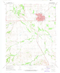 1972 Watonga1974 Print · USGSWatonga was a thriving center for the rail-and-river economy of central Oklahoma in the early seventies. Genealogists and local historians can trace family roots at the Watonga Indian Cem and Pinkerton Cem, or locate the Drive-in Theater and Fairground.
 - 1972 Map of Watonga Lake, 1974 Print
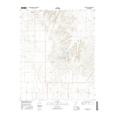
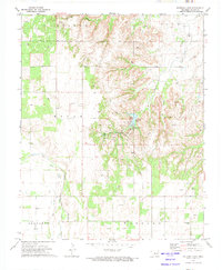 1972 Watonga Lake1974 Print · USGSIn the early 1970s, this portion of Blaine County shows a landscape where outdoor recreation meets the energy industry. Researchers can trace the legacy of Roman Nose State Park, locate Bridgford Cem, and follow the Old Railroad Grade.
 - 1985 Map of Watonga
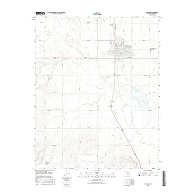
 1985 Watonga1985 Print · USGSCentral Oklahoma in the mid-eighties shows a robust network of river-valley settlements and rural rail lines. Genealogists and historians can trace the footprint of Southwestern State College, the historic Fort Reno, and family-named landmarks like Dead Women Crossing.2 unique versions available
 - 2009 Map of Watonga, 2009 Print
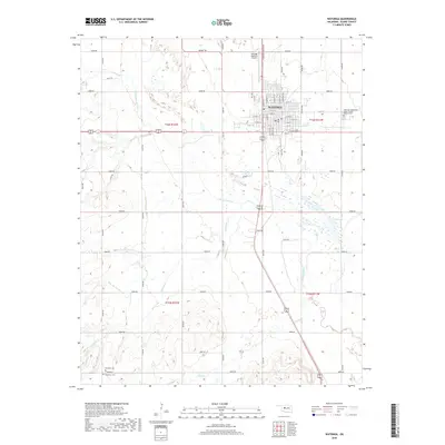
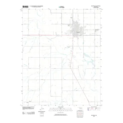 2009 Watonga2009 Print · USGSCovers Watonga, including Blaine County, United States, and other nearby areas
 - 2010 Map of Watonga Lake, 2010 Print
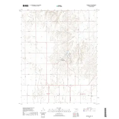
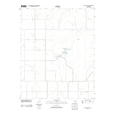 2010 Watonga Lake2010 Print · USGSCovers Watonga, including Blaine County, United States, and other nearby areas
 - 2012 Map of Watonga, 2012 Print
 2012 Watonga2012 Print · USGSCovers Watonga, including Blaine County, United States, and other nearby areas
 - 2012 Map of Watonga Lake, 2012 Print
 2012 Watonga Lake2012 Print · USGSCovers Watonga, including Blaine County, United States, and other nearby areas
 - 2016 Map of Watonga Lake, 2016 Print
 2016 Watonga Lake2016 Print · USGSCovers Watonga, including Blaine County, United States, and other nearby areas
 - 2016 Map of Watonga, 2016 Print
 2016 Watonga2016 Print · USGSCovers Watonga, including Blaine County, United States, and other nearby areas
 - 2018 Map of Watonga Lake, 2018 Print
 2018 Watonga Lake2018 Print · USGSCovers Watonga, including Blaine County, United States, and other nearby areas
 - 2018 Map of Watonga, 2018 Print
 2018 Watonga2018 Print · USGSCovers Watonga, including Blaine County, United States, and other nearby areas
 - 2022 Map of Watonga, 2022 Print
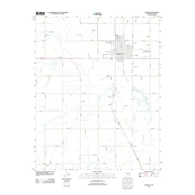
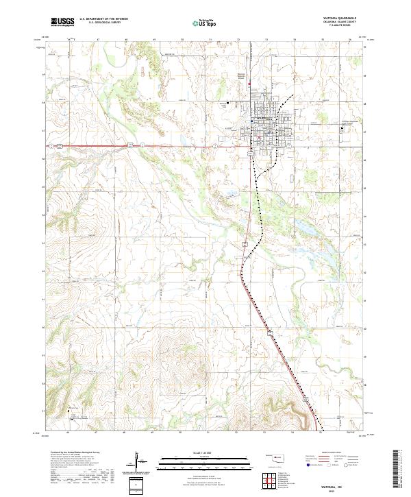 2022 Watonga2022 Print · USGSWatonga and the North Canadian River valley are captured in this recent survey of the Blaine County seat. Genealogists can locate several historic burial sites like Watonga Indian Cemetery, Worrells Cemetery, and the Cedar Point Cemetery.
 - 2022 Map of Watonga Lake, 2022 Print
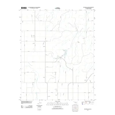
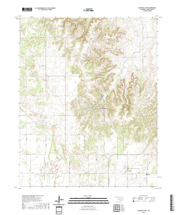 2022 Watonga Lake2022 Print · USGSBlaine County's river valley and northern canyon breaks are documented here in the early twenty-first century. Genealogists and researchers can locate Bridgeford Cem or trace the drainage of Ruby Mill Canyon and Boecher Lake.
End of results
Showing maps 1-15 of 15
Top cities near Watonga
Frequently asked questions
- What are the different types of historical maps available for Watonga?
- What is the oldest map of Watonga?
- Where can I purchase historical maps of Watonga for my home or office?
- Where can I download high-res historical maps of Watonga?
- Are there historical topographic maps available for Watonga?
- Is there historical aerial imagery available for Watonga?
- Where are historical maps of Watonga sourced from?