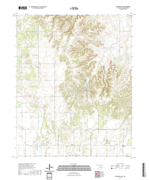
2022 Map of Watonga Lake
USGS Topo · Published 2022About this map
The N Canadian River winds across this section of Blaine County, defining a landscape marked by dramatic breaks and canyon systems. To the north, the terrain is carved by Ruby Mill Canyon and Cat Canyon, where Bitter Cr flows toward the more level plains below. The Watonga area serves as a focal point for the region's geography, situated near the headwaters of Big Spring and the shores of Boecher Lake. This specific alignment of water sources and sheltered canyons likely influenced early settlement patterns and subsequent land use. Rural life is anchored by landmarks like the Bridgeford Cem in the southeastern corner, while the presence of Airport Rd and Clarence Nash Blvd reflects the modernization of the local infrastructure and honoring of local figures within this agricultural and recreational corridor.
Find a feature on this map
36 named features on this map. Tap any name to fly to it.
Don’t see what you’re looking for? This feature index may not catch every label — zoom into the map to look around manually.
Map Details
Editions of this 2022 Watonga Lake Map
This is the sole edition of this map. No revisions or reprints were ever made.
Other maps of this area

1955 · Clinton
USGS Topo · 1:250,000

1955 · Woodward
USGS Topo · 1:250,000

1957 · Clinton
USGS Topo · 1:250,000

1958 · Woodward
USGS Topo · 1:250,000

1964 · Oakwood
USGS Topo · 1:62,500

1972 · Watonga
USGS Topo · 1:24,000

1972 · Canton
USGS Topo · 1:24,000

1972 · Watonga SE
USGS Topo · 1:24,000

1972 · Southard
USGS Topo · 1:24,000

1972 · Okeene
USGS Topo · 1:24,000