Old Maps of Achille, Oklahoma for Metal Detecting
Plan your next treasure hunt with 16 historic maps of Achille. Find old homesites, ghost towns, trails, and gathering spots that may be lost to time — perfect for identifying promising metal detecting locations.
- Locate forgotten sites: Uncover places like long-lost settlements, abandoned rail lines, or gathering spots.
- Plan better hunts: Use map overlays combined with LiDAR or satellite views to narrow in on historically rich areas.
- Made for detectorists: Thousands of hobbyists use these maps to discover relics, coins, and hidden history.
Use these historic maps to boost your research and find new opportunities beneath the surface of Achille.
Achille, OK maps
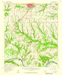
(16)- 1954 Map of Sherman, 1964 Print
 1954 Sherman1964 Print · USGSThe Red River valley and North Texas plains are captured here in the mid-fifties, showing the region as new reservoirs like Lake Texoma and Lavon Reservoir reshaped the land. Genealogists can trace family roots through specific local landmarks like Courtney P O, Pilot Grove Sch, and New Hope Ch.2 unique versions available
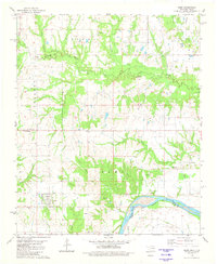
 - 1958 Map of Durant, 1959 Print
 1958 Durant1959 Print · USGSSouthern Oklahoma and the Texas borderlands meet along the Red River in the late fifties, showcasing a landscape of rail-fed towns and river crossings. Genealogists can trace family roots through several landmarks like Rose Hill Cem, Lee Chapel, and the historic Old Indian Boundary Line.3 unique versions available
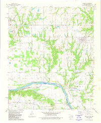
 - 1958 Map of Sherman, 1959 Print
 1958 Sherman1959 Print · USGSNorth Texas and Southern Oklahoma were undergoing significant development in the late fifties as the Red River Valley transit networks matured. Researchers can trace historic family-named locations such as Saddler Bend, the grounds of Perrin AFB, and early shoreline developments at Lake Texoma.
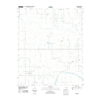
 - 1980 Map of Kemp, 1981 Print
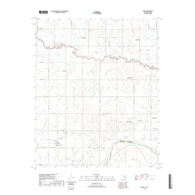
 1980 Kemp1981 Print · USGSThe Oklahoma-Texas borderlands along the Red River are captured here during the late 1970s. Local researchers can trace family roots through Kemp and Yarnaby, locating the Old Indian Treaty Boundary and Burney Cem.
 - 1980 Map of Achille, 1981 Print
 1980 Achille1981 Print · USGSThe Oklahoma-Texas borderlands in the early eighties come to life through this detailed survey of the Red River crossing. Researchers can locate family sites and rural landmarks like Colbert Cem, the Missouri Kansas Texas line, and Messengers Chapel.
 - 1985 Map of Sherman, 1991 Print
 1985 Sherman1991 Print · USGSThe borderlands of North Texas and Southern Oklahoma are captured here in the mid-eighties, centered on the expansive waters of Lake Texoma. Researchers can trace the legacy of the regional rail economy through the Missouri-Kansas-Texas RR or explore the geography of Hagerman National Wildlife Refuge and Carpenters Bluff.
 - 2010 Map of Achille, 2010 Print
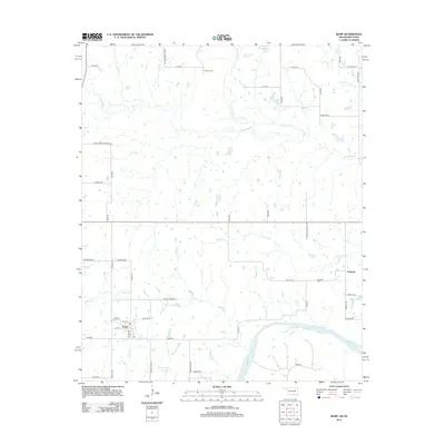
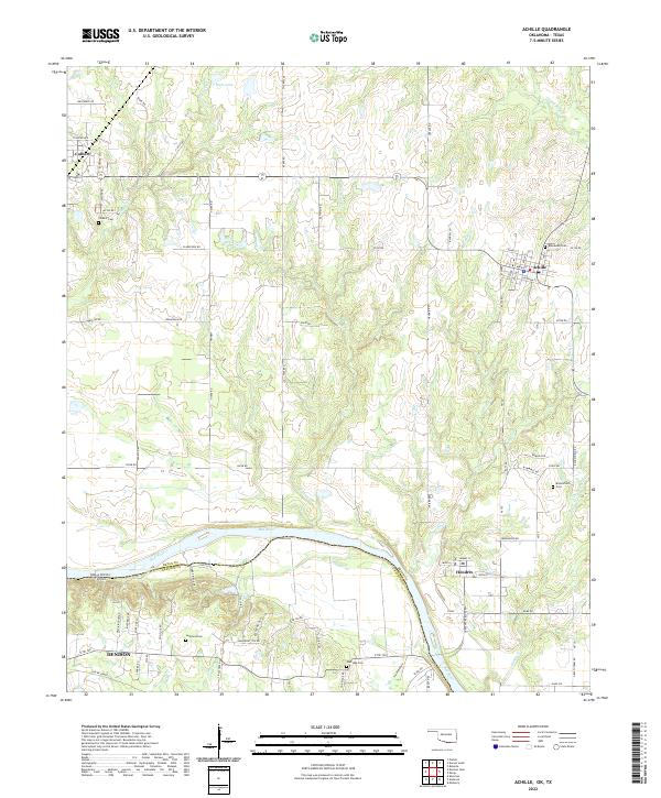
 2010 Achille2010 Print · USGSCovers Achille, including Denison, Colbert, and other nearby areas
 - 2010 Map of Kemp, 2010 Print
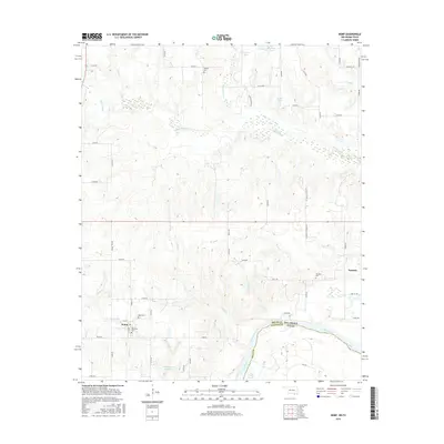
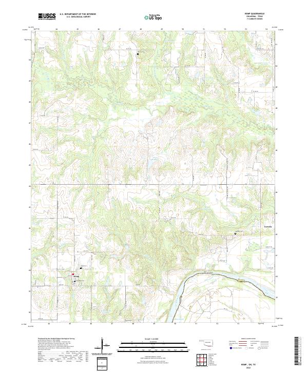
 2010 Kemp2010 Print · USGSCovers Achille, including Kemp, Yarnaby, and other nearby areas
 - 2013 Map of Kemp, 2013 Print
 2013 Kemp2013 Print · USGSCovers Achille, including Kemp, Yarnaby, and other nearby areas
 - 2013 Map of Achille, 2013 Print
 2013 Achille2013 Print · USGSCovers Achille, including Denison, Colbert, and other nearby areas
 - 2016 Map of Kemp, 2016 Print
 2016 Kemp2016 Print · USGSCovers Achille, including Kemp, Yarnaby, and other nearby areas
 - 2016 Map of Achille, 2016 Print
 2016 Achille2016 Print · USGSCovers Achille, including Denison, Colbert, and other nearby areas
 - 2018 Map of Achille, 2018 Print
 2018 Achille2018 Print · USGSCovers Achille, including Denison, Colbert, and other nearby areas
 - 2018 Map of Kemp, 2018 Print
 2018 Kemp2018 Print · USGSCovers Achille, including Kemp, Yarnaby, and other nearby areas
 - 2022 Map of Achille, 2022 Print
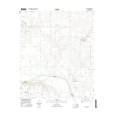
 2022 Achille2022 Print · USGSThe Oklahoma-Texas borderlands along the Red River are captured here in the early twenty-first century. Researchers can trace historic family burial sites at Colbert Cem and Bloomfield Cem or follow the path of the Old RR Grade.
 - 2022 Map of Kemp, 2022 Print
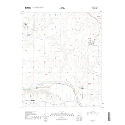
 2022 Kemp2022 Print · USGSThe Oklahoma-Texas borderlands along the Red River are preserved here in the early twenty-first century. Genealogists and local historians can trace the grid of rural roads to find Burney Cem, Old Kemp Cem, and the riverfront at Caney Slough.
End of results
Showing maps 1-16 of 16
Top cities near Achille
- Sherman historical maps
- Denison historical maps
- Durant historical maps
- Bonham historical maps
- Calera historical maps
- Bells historical maps
See more
Frequently asked questions
- What are the different types of historical maps available for Achille?
- What is the oldest map of Achille?
- Where can I purchase historical maps of Achille for my home or office?
- Where can I download high-res historical maps of Achille?
- Are there historical topographic maps available for Achille?
- Is there historical aerial imagery available for Achille?
- Where are historical maps of Achille sourced from?