Old Maps of Mead, Oklahoma for Genealogy
Trace your family roots with 21 historic maps of Mead. These high-res maps reveal old neighborhoods, homesites, landmarks, and streets — helping you uncover where your ancestors lived and how the area evolved over time.
- Explore historic neighborhoods: Identify where your relatives may have lived in the 1800s or 1900s.
- Compare maps over time: Trace the changes in streets, buildings, and landmarks for multi-generational research.
- Perfect for genealogy & ancestry research: Used by family historians and researchers to map out lineage and migration.
These maps are an incredible resource for exploring your personal connection to Mead's past.
Mead, OK maps
(21)- 1901 Map of Tishomingo
 1901 Tishomingo1901 Print · USGSThe Chickasaw Nation comes to life in this late-frontier survey of Johnston County and the surrounding Indian Territory. Genealogists and historians can locate early industrial sites like the Asphalt Mines, the landmark Harley Institute, and the site of Fort Washita.4 unique versions available
 - 1901 Map of Denison
 1901 Denison1901 Print · USGSThe Red River valley in the final years of the Indian Territory era was a landscape of river crossings and rail expansion. Genealogists and historians can trace the early transit networks through Willis Ferry, Cedar Mills, and the Colbert Bridge.4 unique versions available
 - 1954 Map of Sherman, 1964 Print
 1954 Sherman1964 Print · USGSThe Red River valley and North Texas plains are captured here in the mid-fifties, showing the region as new reservoirs like Lake Texoma and Lavon Reservoir reshaped the land. Genealogists can trace family roots through specific local landmarks like Courtney P O, Pilot Grove Sch, and New Hope Ch.2 unique versions available
 - 1957 Map of Ardmore, 1968 Print
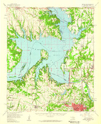
 1957 Ardmore1968 Print · USGSSouth-central Oklahoma in the late fifties was a landscape of rising reservoir waters and expanding rail lines. Genealogists and historians can trace the foundations of Ardmore and Duncan or locate early recreation sites at Platt National Park and Lake Murray State Park.3 unique versions available
 - 1958 Map of Denison Dam, 1959 Print
 1958 Denison Dam1959 Print · USGSThe Red River valley was transformed by the late fifties, as the sprawling waters of Lake Texoma redefined the Oklahoma-Texas border. Genealogists and historians can trace the foundations of this lakeside region through sites like Willow Springs Ch, the Old Colbert Bridge, and numerous family cemeteries.2 unique versions available
 - 1958 Map of Sherman, 1959 Print
 1958 Sherman1959 Print · USGSNorth Texas and Southern Oklahoma were undergoing significant development in the late fifties as the Red River Valley transit networks matured. Researchers can trace historic family-named locations such as Saddler Bend, the grounds of Perrin AFB, and early shoreline developments at Lake Texoma.
 - 1963 Map of Ardmore
 1963 Ardmore1963 Print · USGSSouthern Oklahoma during the early sixties shows a landscape defined by the Arbuckle Mountains and a booming energy economy. Genealogists and historians can trace family-named sites across the Ardmore Oil Field, find old schools like Southeastern State College, or locate historic markers such as Boggy Depot State Park.2 unique versions available
 - 1967 Map of Little City, 1968 Print
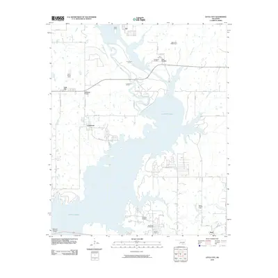
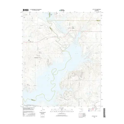
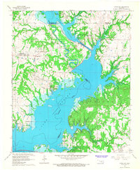 1967 Little City1968 Print · USGSThe northern reaches of Lake Texoma are captured here in the late sixties, where the Washita River was engineered to protect local industry. Researchers can find Fort Washita, the Confederate Cem, and the rerouted Old Channel near Cumberland.
 - 1982 Map of Platter, 1983 Print
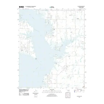
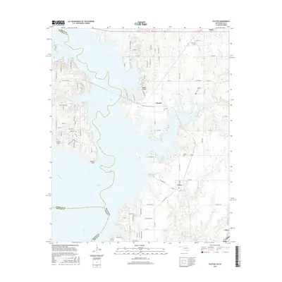
 1982 Platter1983 Print · USGSLake Texoma's eastern shore in the early eighties reveals a landscape transformed by water and recreation at the Oklahoma-Texas border. Trace the rail history of the Burlington Northern or locate family burial sites at Old Woodville Cem and Platter Cem.
 - 1985 Map of Tishomingo, 1986 Print
 1985 Tishomingo1986 Print · USGSSouthern Oklahoma in the mid-eighties reveals a landscape shaped by significant water projects and conservation lands. Genealogists and historians can trace the footprints of communities like Wapanucka and Bromide alongside the Washita River and Lake Texoma.3 unique versions available
 - 1985 Map of Sherman, 1991 Print
 1985 Sherman1991 Print · USGSThe borderlands of North Texas and Southern Oklahoma are captured here in the mid-eighties, centered on the expansive waters of Lake Texoma. Researchers can trace the legacy of the regional rail economy through the Missouri-Kansas-Texas RR or explore the geography of Hagerman National Wildlife Refuge and Carpenters Bluff.
 - 2010 Map of Little City, 2010 Print
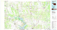
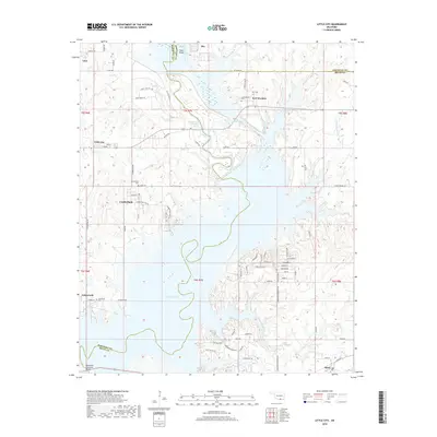
 2010 Little City2010 Print · USGSCovers Mead, including Linn, Cumberland, and other nearby areas
 - 2010 Map of Platter, 2010 Print
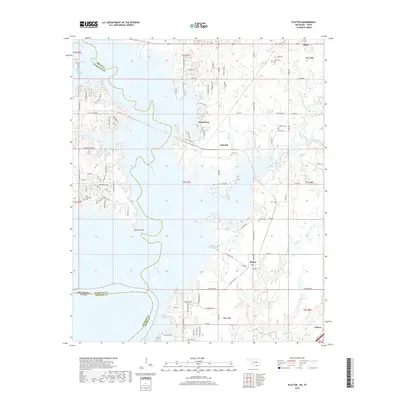
 2010 Platter2010 Print · USGSCovers Mead, including Lakeside, Platter, and other nearby areas
 - 2012 Map of Little City, 2012 Print
 2012 Little City2012 Print · USGSCovers Mead, including Linn, Cumberland, and other nearby areas
 - 2012 Map of Platter, 2012 Print
 2012 Platter2012 Print · USGSCovers Mead, including Lakeside, Platter, and other nearby areas
 - 2016 Map of Platter, 2016 Print
 2016 Platter2016 Print · USGSCovers Mead, including Lakeside, Platter, and other nearby areas
 - 2016 Map of Little City, 2016 Print
 2016 Little City2016 Print · USGSCovers Mead, including Linn, Cumberland, and other nearby areas
 - 2018 Map of Platter, 2018 Print
 2018 Platter2018 Print · USGSCovers Mead, including Lakeside, Platter, and other nearby areas
 - 2018 Map of Little City, 2018 Print
 2018 Little City2018 Print · USGSCovers Mead, including Linn, Cumberland, and other nearby areas
 - 2022 Map of Little City, 2022 Print
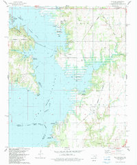
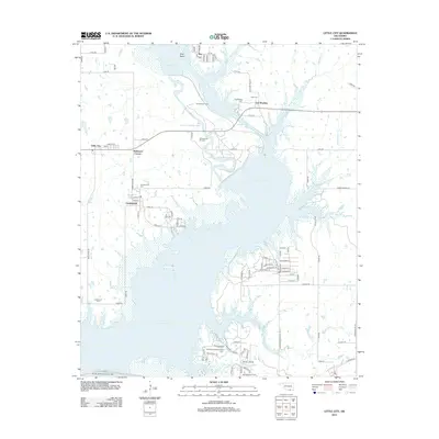
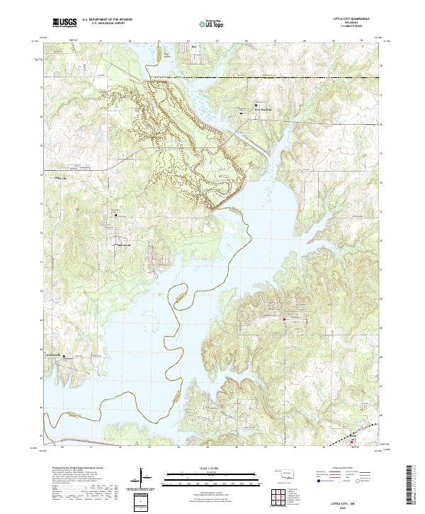 2022 Little City2022 Print · USGSThe northern reaches of Lake Texoma and the historic grounds of Fort Washita are captured here in the early twenty-first century. Genealogists and local historians can trace family locations near Cumberland Cem, the settlement of Little City, and the winding Old Channel Washita River.
 - 2023 Map of Platter, 2023 Print
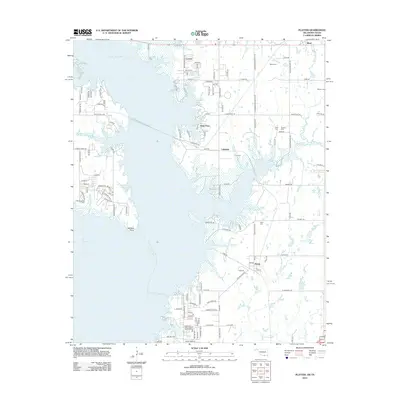
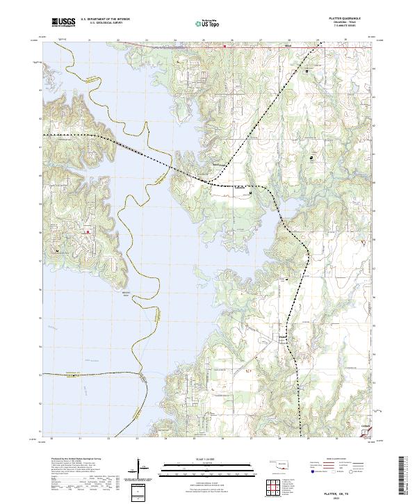 2023 Platter2023 Print · USGSThe Oklahoma-Texas borderlands around Lake Texoma appear in the early 2020s, revealing a landscape of recreational growth and rural heritage. Genealogists and local historians can trace several family burial sites, including Old Woodville Cem, Love Cem, and Harrison Cem.
End of results
Showing maps 1-21 of 21
Top cities near Mead
- Denison historical maps
- Durant historical maps
- Madill historical maps
- Tishomingo historical maps
- Calera historical maps
- Pottsboro historical maps
See more
Frequently asked questions
- What are the different types of historical maps available for Mead?
- What is the oldest map of Mead?
- Where can I purchase historical maps of Mead for my home or office?
- Where can I download high-res historical maps of Mead?
- Are there historical topographic maps available for Mead?
- Is there historical aerial imagery available for Mead?
- Where are historical maps of Mead sourced from?