Old Maps of Spring Creek, Oklahoma for Metal Detecting
Plan your next treasure hunt with 10 historic maps of Spring Creek. Find old homesites, ghost towns, trails, and gathering spots that may be lost to time — perfect for identifying promising metal detecting locations.
- Locate forgotten sites: Uncover places like long-lost settlements, abandoned rail lines, or gathering spots.
- Plan better hunts: Use map overlays combined with LiDAR or satellite views to narrow in on historically rich areas.
- Made for detectorists: Thousands of hobbyists use these maps to discover relics, coins, and hidden history.
Use these historic maps to boost your research and find new opportunities beneath the surface of Spring Creek.
Spring Creek, OK maps
(10)- 1893 Map of Buggy Creek
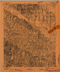 1893 Buggy Creek1893 Print · USGSOklahoma Territory near the turn of the century reveals a landscape defined by the Wichita Reservation and frontier outposts. Genealogists and historians can trace early activity at the Indian Village and Stage Stand along the Canadian River.2 unique versions available
 - 1955 Map of Clinton, 1964 Print
 1955 Clinton1964 Print · USGSWestern Oklahoma during the mid-century transition shows a landscape of growing reservoirs and active military flight lines. Genealogists and historians can locate rural landmarks such as Mountain View Church, Berlin School, and the Riverside Indian School Reserve.3 unique versions available
 - 1957 Map of Clinton
 1957 Clinton1957 Print · USGSWestern Oklahoma in the mid-fifties is captured here as a landscape of river-valley settlements and emerging energy fields. Genealogists can trace family roots through numerous rural landmarks like the Swapping Back Indian School, Hebron Church, and the Riverside Indian School Reserve.
 - 1967 Map of Cogar, 1969 Print
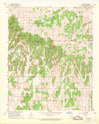 1967 Cogar1969 Print · USGSCaddo County's rural landscape comes into focus during the late 1960s, centered on the small community of Cogar. Genealogists and local historians can locate several country churches, the Spring Creek Cem, and family-named landmarks like Salyer Lake.2 unique versions available
 - 1986 Map of Anadarko
 1986 Anadarko1986 Print · USGSThe Oklahoma plains around Anadarko are captured in the mid-1980s, showing the intersection of rail history and tribal heritage. Genealogists and historians can trace the Indian Treaty Boundary or locate old rail stops along the Burlington Northern Railroad and Atchison, Topeka and Santa Fe Railway.2 unique versions available
 - 2009 Map of Cogar, 2009 Print
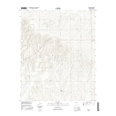
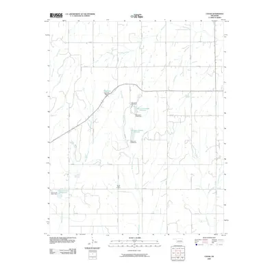 2009 Cogar2009 Print · USGSCovers Spring Creek, including Cogar, Caddo County, and other nearby areas
 - 2012 Map of Cogar, 2012 Print
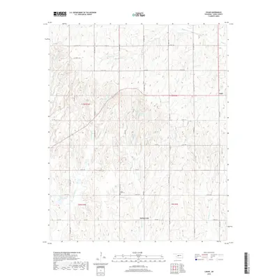
 2012 Cogar2012 Print · USGSCovers Spring Creek, including Cogar, Caddo County, and other nearby areas
 - 2016 Map of Cogar, 2016 Print
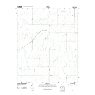
 2016 Cogar2016 Print · USGSCovers Spring Creek, including Cogar, Caddo County, and other nearby areas
 - 2018 Map of Cogar, 2018 Print
 2018 Cogar2018 Print · USGSCovers Spring Creek, including Cogar, Caddo County, and other nearby areas
 - 2022 Map of Cogar, 2022 Print
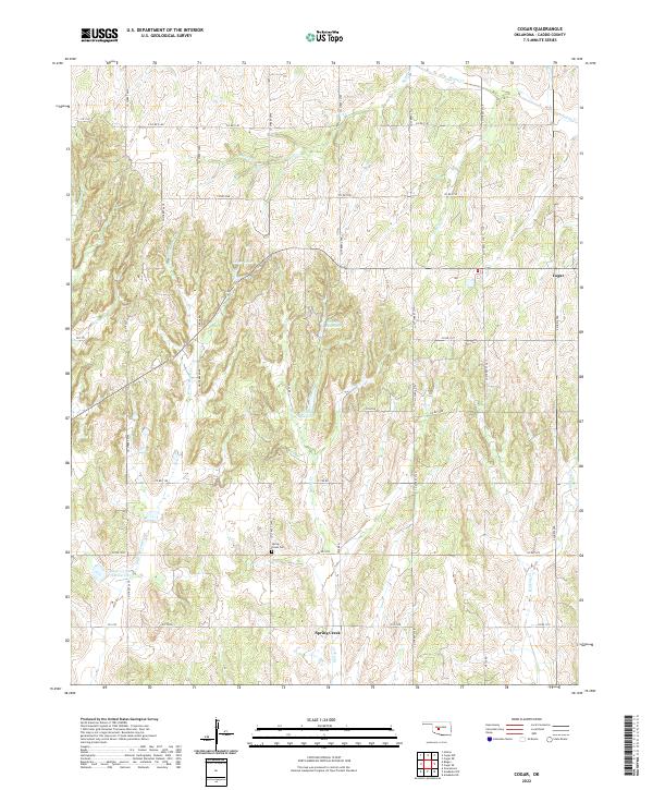 2022 Cogar2022 Print · USGSCentral Oklahoma's rural Caddo County is captured here in the early twenty-first century, showing a landscape defined by ranching and small-town roots. Researchers can locate Spring Creek Cem and the community of Cogar among the many forks of White Bread Cr.
End of results
Showing maps 1-10 of 10
Top cities near Spring Creek
- El Reno historical maps
- Chickasha historical maps
- Anadarko historical maps
- Hinton historical maps
- Minco historical maps
- Union City historical maps
See more
Frequently asked questions
- What are the different types of historical maps available for Spring Creek?
- What is the oldest map of Spring Creek?
- Where can I purchase historical maps of Spring Creek for my home or office?
- Where can I download high-res historical maps of Spring Creek?
- Are there historical topographic maps available for Spring Creek?
- Is there historical aerial imagery available for Spring Creek?
- Where are historical maps of Spring Creek sourced from?