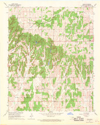
1967 Map of Cogar
USGS Topo · Published 1969About this map
Cogar serves as the central hub of this Caddo County landscape, positioned at a rural intersection just south of Buggy Creek. The map reveals a community defined by its spiritual and social anchors, including Mountain View Ch, Cogar Ch, and Canaan Ch, alongside a local Community Hall. The terrain is deeply incised by a series of south-flowing drainage systems such as Bullet Creek, Spring Creek, and White Bread Creek.
Find a feature on this map
22 named features on this map. Tap any name to fly to it.
Don’t see what you’re looking for? This feature index may not catch every label — zoom into the map to look around manually.
Map Details
Editions of this 1967 Cogar Map
2 editions found
Other maps of this area
1893 · Buggy Creek
USGS Topo · 1:62,500
1945 · Anadarko
USGS Topo · 1:62,500
1951 · Binger
USGS Topo · 1:62,500
1951 · Fort Cobb
USGS Topo · 1:62,500
1955 · Clinton
USGS Topo · 1:250,000
1957 · Clinton
USGS Topo · 1:250,000
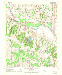
1967 · Cogar NW
USGS Topo · 1:24,000
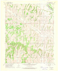
1968 · Cogar SE
USGS Topo · 1:24,000
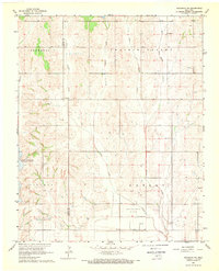
1968 · Anadarko NE
USGS Topo · 1:24,000
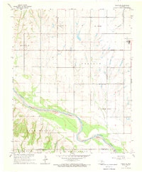
1968 · Cogar NE
USGS Topo · 1:24,000