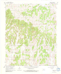
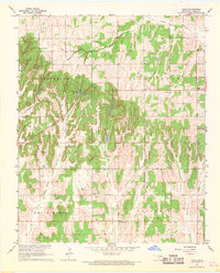
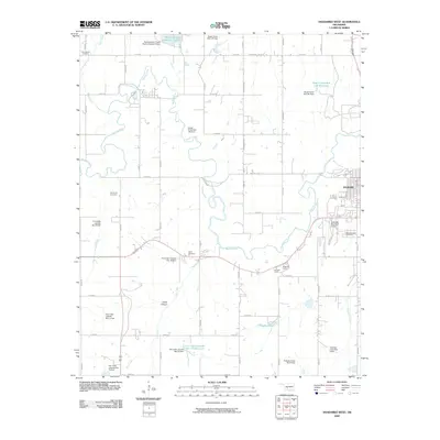
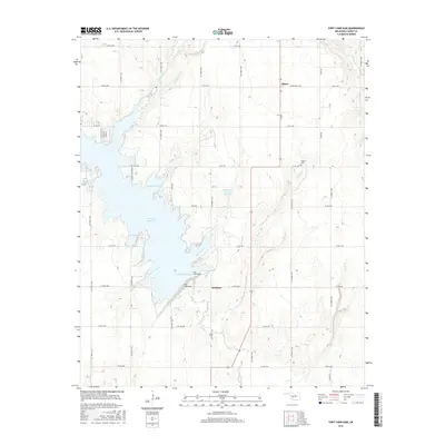
1967 Map of Cogar
USGS Topo · Published 1988About this map
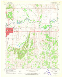
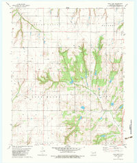
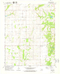
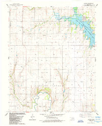
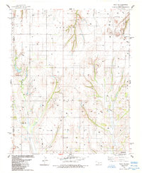
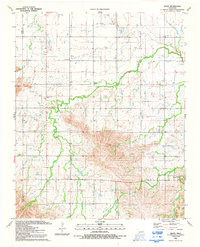
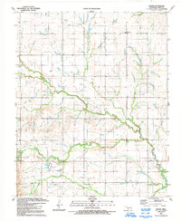
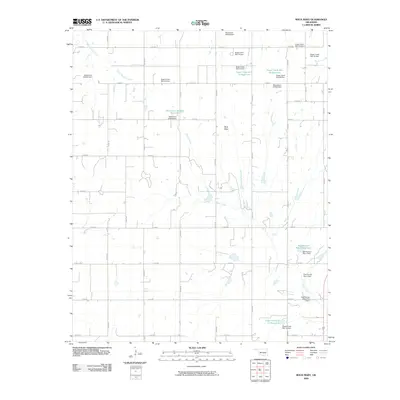
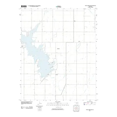
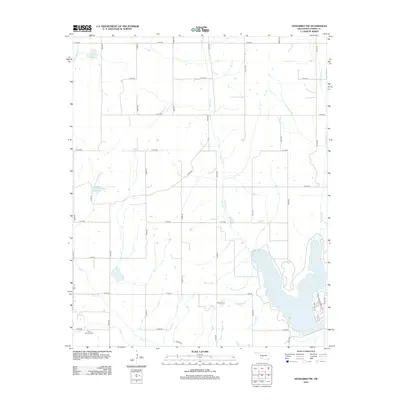
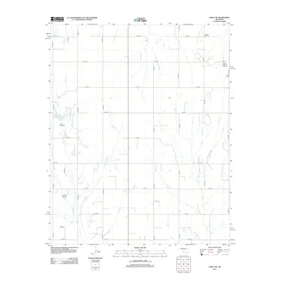
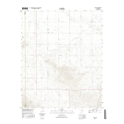
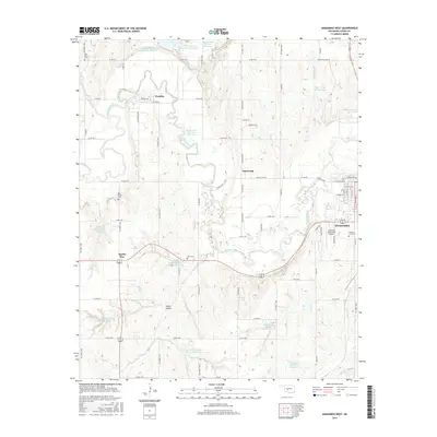
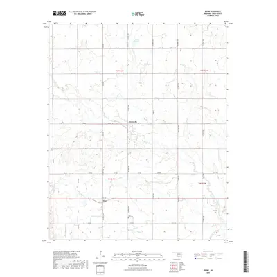
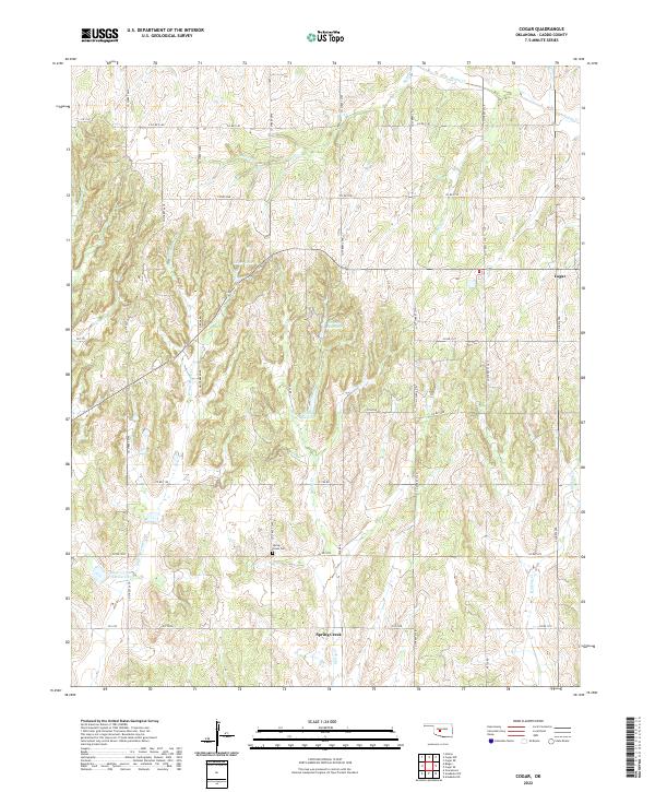
Cogar sits at a high crossroads in Caddo County, surrounded by a complex network of creeks that drain the local uplands. The landscape is defined by the headwaters of Buggy Creek, Bullet Creek, and Fisher Creek to the north, while the southern reaches are marked by the strikingly named White Bread Creek and Stinking Creek. This 1960s survey captures the rural infrastructure of the area, including the central Community Hall and multiple local congregations such as Mountain View Ch, Cogar Ch, and Canaan Ch.
Find a feature on this map
21 named features on this map. Tap any name to fly to it.
Don’t see what you’re looking for? This feature index may not catch every label — zoom into the map to look around manually.
Map Details
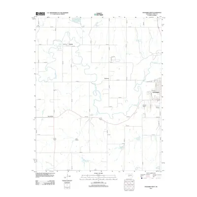
Editions of this 1967 Cogar Map
2 editions found
Historical Maps of Cogar Through Time
68 maps found
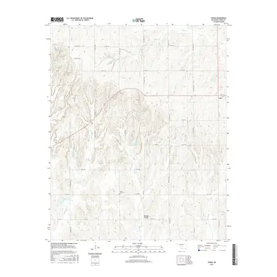
1956 Alden
Caddo County, OK
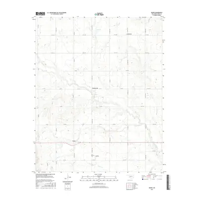
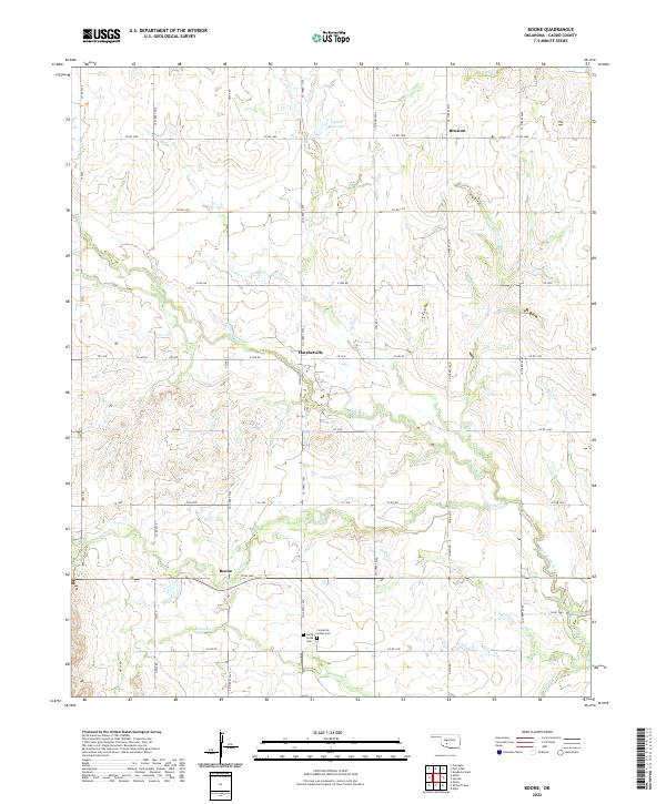
1956 Boone
Caddo County, OK
1967 Cogar
Caddo County, OK
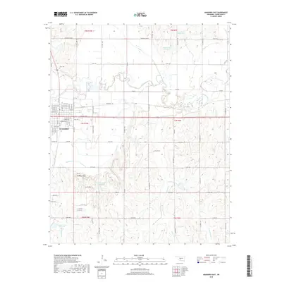
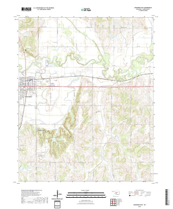
1968 Anadarko East
Caddo County, OK
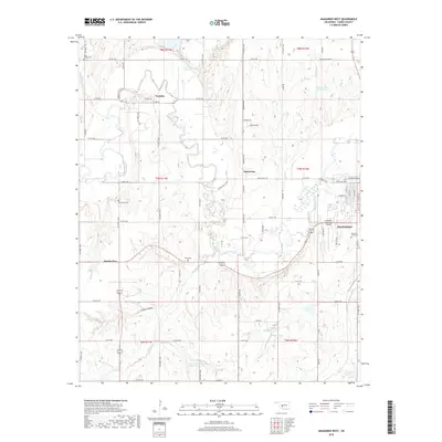
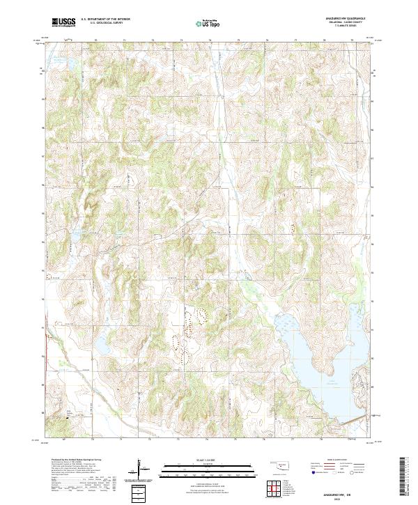
1968 Anadarko NW
Caddo County, OK
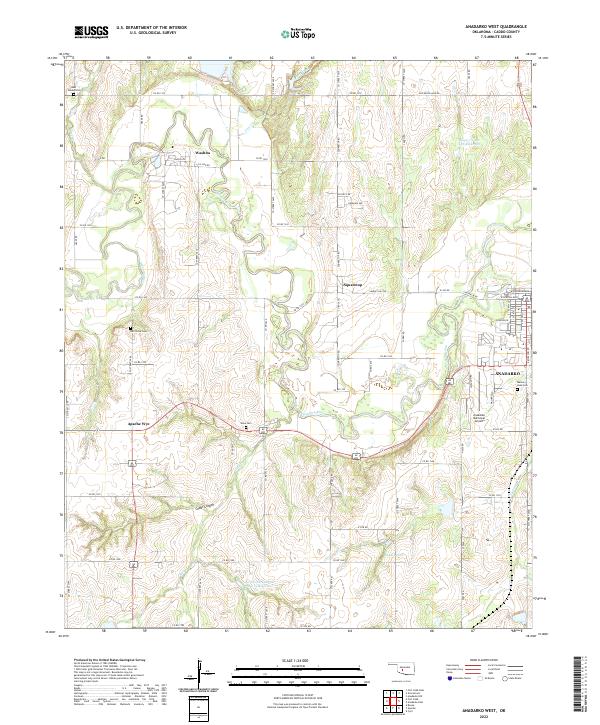
1979 Anadarko West
Caddo County, OK
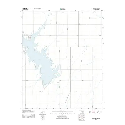
1979 Fort Cobb Dam
Caddo County, OK
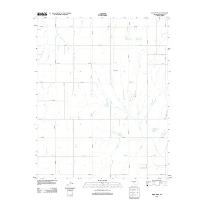
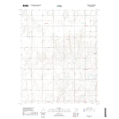
1979 Rock Mary
Caddo County, OK
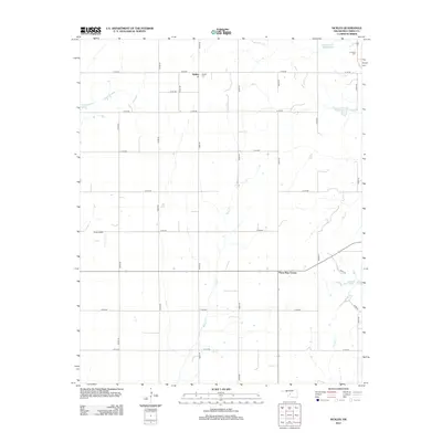
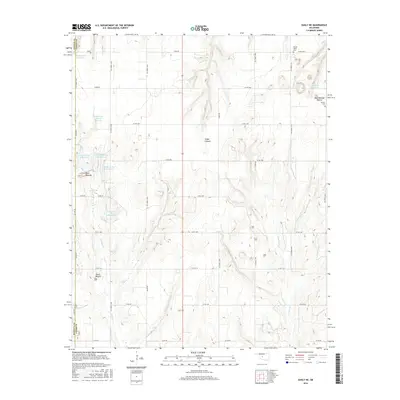
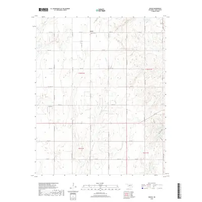
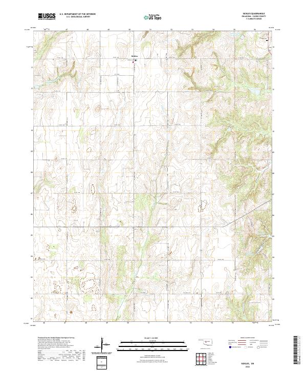
1979 Sickles
Caddo County, OK
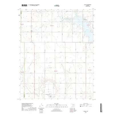
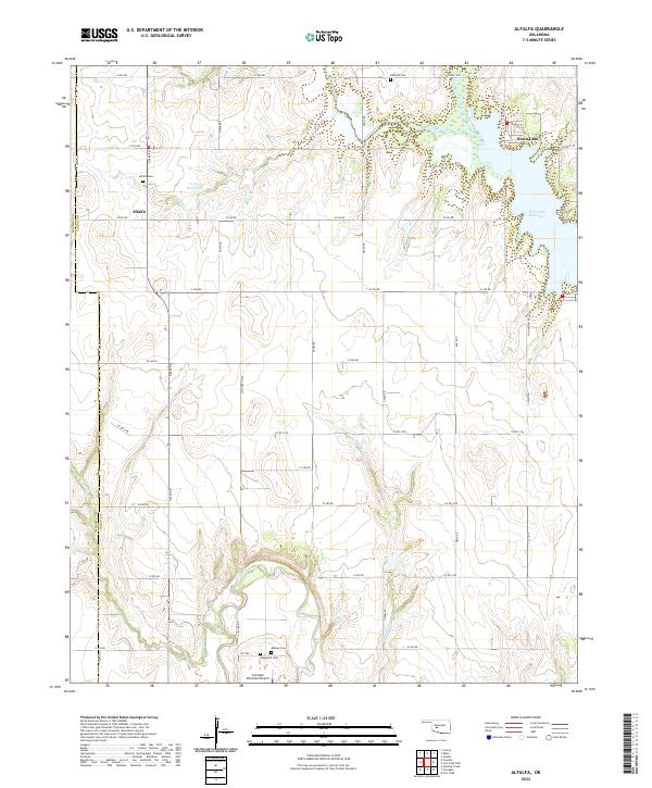
1984 Alfalfa
Caddo County, OK
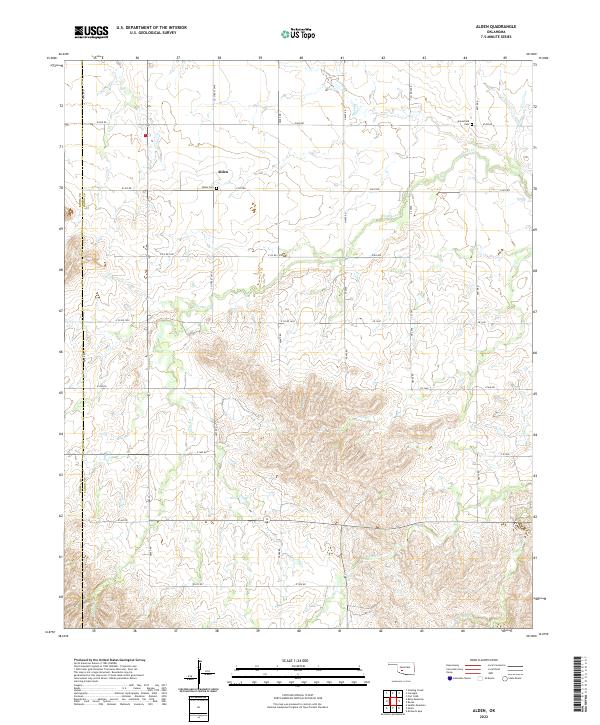
1984 Eakly NE
Caddo County, OK
1991 Alden
Caddo County, OK
1991 Boone
Caddo County, OK
2009 Anadarko East
Caddo County, OK
2009 Anadarko NW
Caddo County, OK
2009 Anadarko West
Caddo County, OK
2009 Boone
Caddo County, OK
2009 Cogar
Caddo County, OK
2009 Eakly NE
Caddo County, OK
2009 Rock Mary
Caddo County, OK
2009 Sickles
Caddo County, OK
2010 Alden
Caddo County, OK
2010 Alfalfa
Caddo County, OK
2010 Fort Cobb Dam
Caddo County, OK
2012 Alden
Caddo County, OK
2012 Alfalfa
Caddo County, OK
2012 Anadarko East
Caddo County, OK
2012 Anadarko NW
Caddo County, OK
2012 Anadarko West
Caddo County, OK
2012 Boone
Caddo County, OK
2012 Cogar
Caddo County, OK
2012 Eakly NE
Caddo County, OK
2012 Fort Cobb Dam
Caddo County, OK
2012 Rock Mary
Caddo County, OK
2012 Sickles
Caddo County, OK
2016 Alden
Caddo County, OK
2016 Alfalfa
Caddo County, OK
2016 Anadarko East
Caddo County, OK
2016 Anadarko NW
Caddo County, OK
2016 Anadarko West
Caddo County, OK
2016 Boone
Caddo County, OK
2016 Cogar
Caddo County, OK
2016 Eakly NE
Caddo County, OK
2016 Fort Cobb Dam
Caddo County, OK
2016 Rock Mary
Caddo County, OK
2016 Sickles
Caddo County, OK
2018 Alden
Caddo County, OK
2018 Alfalfa
Caddo County, OK
2018 Anadarko East
Caddo County, OK
2018 Anadarko NW
Caddo County, OK
2018 Anadarko West
Caddo County, OK
2018 Boone
Caddo County, OK
2018 Cogar
Caddo County, OK
2018 Eakly NE
Caddo County, OK
2018 Fort Cobb Dam
Caddo County, OK
2018 Rock Mary
Caddo County, OK
2018 Sickles
Caddo County, OK
2022 Alden
Caddo County, OK
2022 Alfalfa
Caddo County, OK
2022 Anadarko East
Caddo County, OK
2022 Anadarko NW
Caddo County, OK
2022 Anadarko West
Caddo County, OK
2022 Boone
Caddo County, OK
2022 Cogar
Caddo County, OK
2022 Eakly NE
Caddo County, OK
2022 Fort Cobb Dam
Caddo County, OK
2022 Rock Mary
Caddo County, OK
2022 Sickles
Caddo County, OK