2000s (21st Century) Maps of Pettit, Oklahoma
Explore 5 historic maps of Pettit from the 2000s (21st Century). These maps offer a rare glimpse into what life looked like during the 2000s — showing old roads, neighborhoods, homes, and landmarks that have changed or disappeared over time.
Whether you're researching your family's past, planning a metal detecting trip, or studying how Pettit's landscape evolved across the 2000s, these high-resolution maps are a powerful tool for exploring the history of this region.
- Focus on a specific era: All maps on this page are from the 2000s, giving you a focused view of this time period.
- See what’s changed: Compare century-old streets, trails, and buildings to today's modern landscape using overlays and satellite layers.
- Research with precision: Use these maps for genealogy, historical research, land use analysis, or educational projects.
- View, download, or print: Maps are fully viewable online in high resolution, and can be downloaded or printed for your own records.
Start exploring Pettit's history through authentic maps from the 2000s. This is your window into the past.
Pettit, OK maps
(5)- 2010 Map of Park Hill, 2010 Print
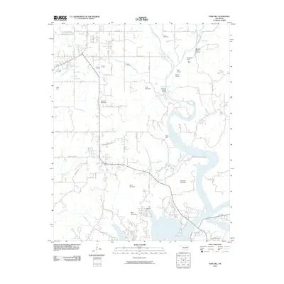 2010 Park Hill2010 Print · USGSCovers Pettit, including Tahlequah, Caney Ridge, and other nearby areas
 - 2012 Map of Park Hill, 2012 Print
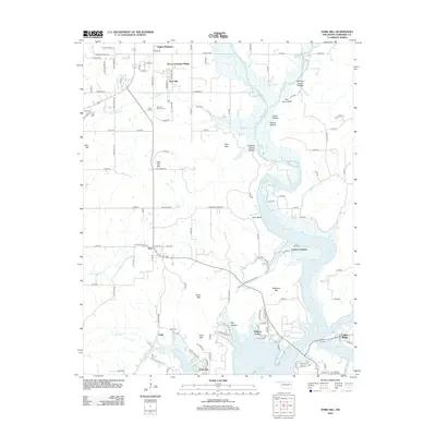 2012 Park Hill2012 Print · USGSCovers Pettit, including Tahlequah, Caney Ridge, and other nearby areas
 - 2016 Map of Park Hill, 2016 Print
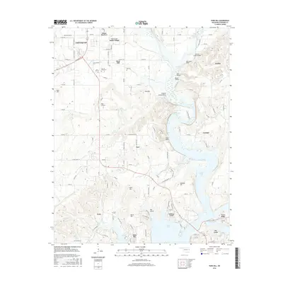 2016 Park Hill2016 Print · USGSCovers Pettit, including Tahlequah, Caney Ridge, and other nearby areas
 - 2019 Map of Park Hill, 2019 Print
 2019 Park Hill2019 Print · USGSCovers Pettit, including Tahlequah, Caney Ridge, and other nearby areas
 - 2022 Map of Park Hill, 2022 Print
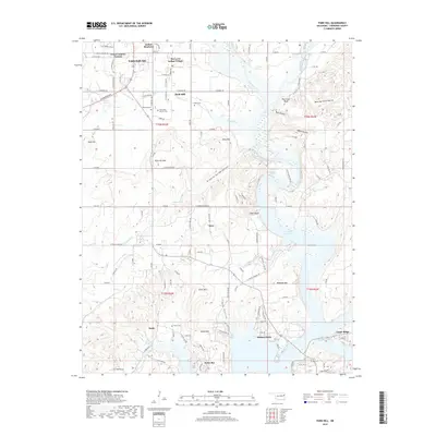
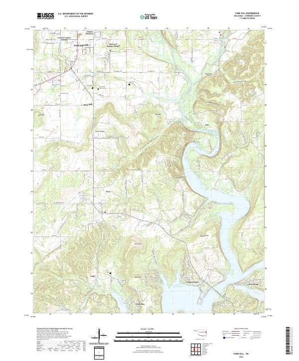 2022 Park Hill2022 Print · USGSCherokee County at the edge of the Ozarks is seen here where the Illinois River flows into the modern expanse of Tenkiller Ferry Lake. Genealogists and local historians can locate several historic burial grounds, including Worcester Mission Cem and Ross Cem, alongside Tsa La Gi Indian Village.
End of results
Showing maps 1-5 of 5
Top cities near Pettit
- Tahlequah historical maps
- Gore historical maps
- Hulbert historical maps
- Marble City historical maps
- Paradise Hill historical maps
Frequently asked questions
- What are the different types of historical maps available for Pettit?
- What is the oldest map of Pettit?
- Where can I purchase historical maps of Pettit for my home or office?
- Where can I download high-res historical maps of Pettit?
- Are there historical topographic maps available for Pettit?
- Is there historical aerial imagery available for Pettit?
- Where are historical maps of Pettit sourced from?