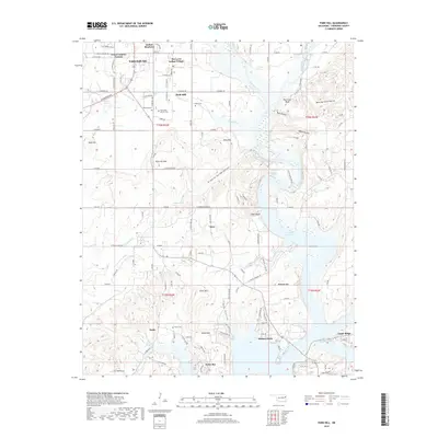
2019 Map of Park Hill
USGS Topo · Published 2019About this map
The southern outskirts of Tahlequah and the historic settlement of Park Hill are detailed in this 2019 survey, illustrating the complex geography of Cherokee County. The area is defined by the transition from upland ridges like King Mtn and Bald Hill to the extensive waters of Tenkiller Ferry Lake. Notable cultural landmarks including the Tsa La Gi Indian Village and Worcester Mission Cem highlight the deep heritage of the region.
Find a feature on this map
126 named features on this map. Tap any name to fly to it.
Don’t see what you’re looking for? This feature index may not catch every label — zoom into the map to look around manually.
Map Details
Editions of this 2019 Park Hill Map
This is the sole edition of this map. No revisions or reprints were ever made.
Other maps of this area

1898 · Tahlequah
USGS Topo · 1:125,000

1901 · Muscogee
USGS Topo · 1:125,000

1901 · Tahlequah
USGS Topo · 1:125,000

1905 · Muscogee
USGS Topo · 1:125,000

1905 · Tahlequah
USGS Topo · 1:125,000

1946 · Fort Smith
USGS Topo · 1:250,000

1948 · Hulbert
USGS Topo · 1:62,500

1948 · Webbers Falls
USGS Topo · 1:62,500

1950 · Hulbert
USGS Topo · 1:62,500

1950 · Webbers Falls
USGS Topo · 1:62,500