
1948 Map of Hulbert
USGS Topo · Published 1957About this map
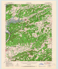
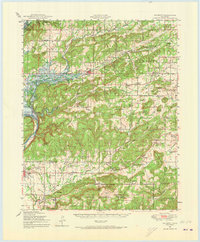
The Neosho River valley in Cherokee and Muskogee Counties undergoes a significant transformation as the Gibson Reservoir Under Construction begins to alter the landscape around Hulbert. This post-war survey documents the transition from a traditional agricultural and woodland setting to one shaped by federal infrastructure projects. To the south, the Camp Gruber Military Reservation occupies a large portion of the territory, including Oriental Village and Wild Horse Prairie. The map is particularly rich in educational and religious history, noting dozens of local institutions like the Sequoyah Indian Sch, Moren Chapel Sch, and Culvers Chapel. The western edge is anchored by the venerable settlement of Fort Gibson, with its prominent Fort Gibson National Cem and older Fort Gibson Cem, serving as a primary cultural anchor for the region.
Find a feature on this map
96 named features on this map. Tap any name to fly to it.
Don’t see what you’re looking for? This feature index may not catch every label — zoom into the map to look around manually.
Map Details
Editions of this 1948 Hulbert Map
3 editions found
Other maps of this area

1896 · Pryor
USGS Topo · 1:125,000

1898 · Tahlequah
USGS Topo · 1:125,000

1899 · Siloam Springs
USGS Topo · 1:125,000

1901 · Muscogee
USGS Topo · 1:125,000

1901 · Pryor
USGS Topo · 1:125,000

1901 · Tahlequah
USGS Topo · 1:125,000

1903 · Siloam Springs
USGS Topo · 1:125,000

1904 · Siloam Springs
USGS Topo · 1:125,000

1905 · Muscogee
USGS Topo · 1:125,000

1905 · Tahlequah
USGS Topo · 1:125,000