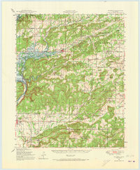
1948 Map of Hulbert
USGS Topo · Published 1973About this map
Camp Gruber Military Reservation dominates the southern landscape of this mid-century survey, its northern boundary cutting through the hills just south of Oriental Village. This era represents a significant transformation for the area, most notably with the Lake Fort Gibson (Under Construction) project beginning to reshape the western edge along the Neosho River. The rural character of the region is evident in the dense network of country schools, such as Sequoyah Indian School and Baldhill School, which served dispersed communities before later consolidation.
Find a feature on this map
88 named features on this map. Tap any name to fly to it.
Don’t see what you’re looking for? This feature index may not catch every label — zoom into the map to look around manually.
Map Details
Editions of this 1948 Hulbert Map
3 editions found

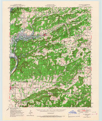
Other maps of this area

1896 · Pryor
USGS Topo · 1:125,000

1898 · Tahlequah
USGS Topo · 1:125,000

1899 · Siloam Springs
USGS Topo · 1:125,000

1901 · Muscogee
USGS Topo · 1:125,000

1901 · Pryor
USGS Topo · 1:125,000

1901 · Tahlequah
USGS Topo · 1:125,000

1903 · Siloam Springs
USGS Topo · 1:125,000

1904 · Siloam Springs
USGS Topo · 1:125,000

1905 · Muscogee
USGS Topo · 1:125,000

1905 · Tahlequah
USGS Topo · 1:125,000