Old Maps of Scraper, Oklahoma
Explore 13 old maps of Scraper, spanning from 1899 to today. These high-resolution historic maps reveal how streets, neighborhoods, landmarks, and natural features evolved over time — perfect for genealogy, metal detecting, research, and local history exploration.
What you can do with these maps:
- See how Scraper changed over time: Compare historical maps to modern-day views to trace roads, homesites, rail lines & more.
- View detailed metadata: Each map includes creators, publishers, year, scale, and archive source.
- Overlay maps with satellite & LiDAR: Visualize the past alongside modern tools to explore terrain & human change.
- Trusted historical sources: Maps sourced from the USGS, Library of Congress, and other archives.
- Access maps your way: View online, download high-res files, or order prints for personal or research use.
Start exploring old maps of Scraper to uncover forgotten places, hidden landmarks, and the deep history beneath your feet.
Scraper, OK maps
(13)- 1899 Map of Siloam Springs, 1954 Print
 1899 Siloam Springs1954 Print · USGSThe borderlands of the Cherokee Nation and Northwest Arkansas come alive in this late nineteenth-century survey. Genealogists can trace early homesteads and community life through Shoaps Store, Round Spring Church, and the settlement of Maysville.
 - 1903 Map of Siloam Springs, 1904 Print
 1903 Siloam Springs1904 Print · USGSThe border of Arkansas and the Cherokee Nation comes to life in this survey from the turn of the century. Genealogists and historians can trace the early layout of Siloam Springs or locate small landmarks like Shoaps Store and Round Spring Church.
 - 1904 Map of Siloam Springs
 1904 Siloam Springs1904 Print · USGSThe Arkansas and Indian Territory borderlands are captured here at the turn of the century, prior to Oklahoma statehood. Researchers can trace the early layout of Siloam Springs and locate vanished landmarks like Shoaps Store or the Round Spring Church.7 unique versions available
 - 1954 Map of Tulsa
 1954 Tulsa1954 Print · USGSNortheast Oklahoma and the Ozark border are shown here during a period of massive industrial and infrastructure growth. Researchers can trace the legacy of the Tri-State Mining District and the development of major reservoirs like Grand Lake O' The Cherokees.2 unique versions available
 - 1958 Map of Tulsa, 1968 Print
 1958 Tulsa1968 Print · USGSNortheast Oklahoma and the Ozark borderlands are captured here during a massive era of reservoir construction and highway expansion. Researchers can trace the mid-century footprints of Tulsa, the sprawling Lake O' the Cherokees, and historical sites like Pea Ridge National Military Park.3 unique versions available
 - 1963 Map of Tulsa
 1963 Tulsa1963 Print · USGSThe Oklahoma and Arkansas borderlands are shown here in the early sixties, a time of massive reservoir construction and heavy mining. Genealogists can trace family roots through settlements like Nowata, Pryor, and Jay, or locate historical zinc and lead mines and coal mines.
 - 1972 Map of Chewey, 1974 Print
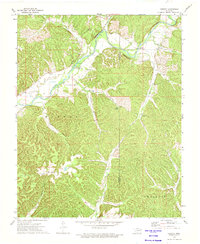 1972 Chewey1974 Print · USGSThe Illinois River valley in the early 1970s reveals a secluded landscape of deep hollows and river bends along the Adair and Cherokee county line. Researchers can trace rural landmarks like Thompson Cem, the Hampton Bridge, and the small settlement of Chewey.
 - 1979 Map of Fayetteville, 1980 Print
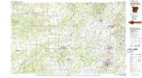 1979 Fayetteville1980 Print · USGSNorthwest Arkansas and the tristate corner show a booming corridor of rail-linked towns and highland forests in the late seventies. Researchers can trace historic landmarks like Pea Ridge National Military Park, the Frisco RR, and the University of Arkansas.2 unique versions available
 - 2010 Map of Chewey, 2010 Print
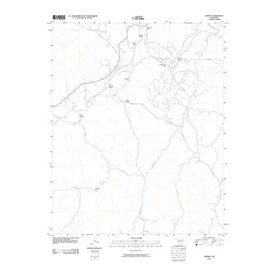 2010 Chewey2010 Print · USGSAdair County’s river bluffs and deep hollows are documented here during the early twenty-first century. Researchers can locate the Thompson Cemetery and trace the winding paths of Kirk Springs Hollow Rd and Chewey Rd along the Illinois River.
 - 2012 Map of Chewey, 2012 Print
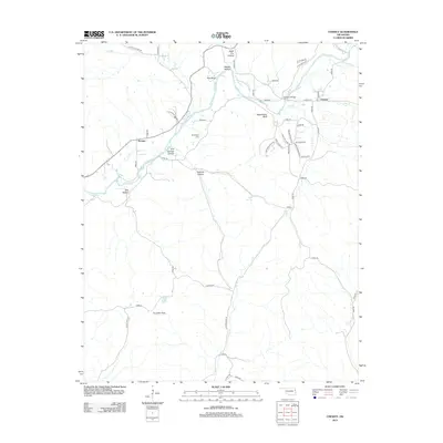 2012 Chewey2012 Print · USGSAdair County's river-carved landscape is documented here in the early twenty-first century, showing the rural communities of Chewey and Scraper. Researchers can locate the Thompson Cem and trace the winding paths through Black Fox Hollow and Pumpkin Flats.
 - 2016 Map of Chewey, 2016 Print
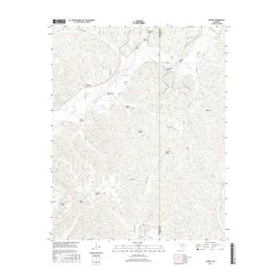 2016 Chewey2016 Print · USGSThe Illinois River valley on the Cherokee and Adair county line is documented here in the mid-2010s. Researchers can locate family landmarks such as Chewey Cem and Thompson Cem or trace the geography of Hogshooter Bluff and Pumpkin Flats.
 - 2019 Map of Chewey, 2019 Print
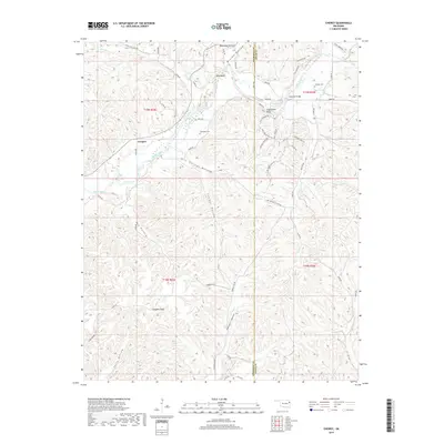 2019 Chewey2019 Print · USGSThe borderlands of Adair and Cherokee counties are captured here in the late 2010s, centered on the winding Illinois River and the settlement of Scraper. Researchers can trace local lineage through the Chewey Cem and explore named terrain like Pumpkin Holler.
 - 2022 Map of Chewey, 2022 Print
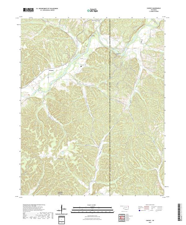 2022 Chewey2022 Print · USGSThe borderlands of Cherokee and Adair counties appear here in the early twenty-first century, centered on the Illinois River corridor. Genealogists and local historians can locate specific landmarks including Thompson Cem, Kirk Springs, and the settlement at Scraper.
End of results
Showing maps 1-13 of 13
Top cities near Scraper
- Tahlequah historical maps
- West Siloam Springs historical maps
- Colcord historical maps
- Kansas historical maps
Frequently asked questions
- What are the different types of historical maps available for Scraper?
- What is the oldest map of Scraper?
- Where can I purchase historical maps of Scraper for my home or office?
- Where can I download high-res historical maps of Scraper?
- Are there historical topographic maps available for Scraper?
- Is there historical aerial imagery available for Scraper?
- Where are historical maps of Scraper sourced from?