Old Maps of Keyes, Oklahoma for Hiking & Exploration
Hike through history with 16 historic maps of Keyes. Explore old trails, ghost towns, and forgotten backroads — perfect for outdoor adventurers and local explorers.
- Rediscover forgotten places: Map out old mining camps, roads, and footpaths that no longer exist on modern maps.
- Layer with modern tools: Combine with LiDAR or satellite views to plan hikes through historical terrain.
- Made for exploration: Popular among hikers, overlanders, and local history lovers.
Use these maps to find adventure and explore the hidden past of Keyes.
Keyes, OK maps
(16)- 1954 Map of Dalhart, 1967 Print
 1954 Dalhart1967 Print · USGSThe High Plains at the junction of four states come alive in the mid-fifties, showing a landscape of rail-hub towns and cattle country. Trace the Old Santa Fe Trail or locate mid-century industrial sites like the Dry ice plant and Carbon Dioxide Works.2 unique versions available
 - 1958 Map of Dalhart
 1958 Dalhart1958 Print · USGSThe High Plains of the tri-state border region come alive in this mid-century survey of the ranching and rail territory around the Texas Panhandle. Genealogists and historians can trace the paths of the Atchison Topeka & Santa Fe Ry, military outposts like Dalhart Air Force No 1, and early settlements such as Pasamonte and Texline.2 unique versions available
 - 1962 Map of Dalhart
 1962 Dalhart1962 Print · USGSThe High Plains and volcanic peaks of the tri-state area are shown in detail during the early sixties. Genealogists and historians can trace the rail corridors of the Fort Worth and Denver and find industrial sites like the Cactus Ordnance Works or the Beaver Meade & Englewood Grain Elevator.
 - 1971 Map of Keyes West, 1973 Print
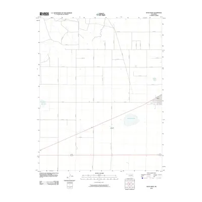
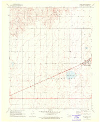 1971 Keyes West1973 Print · USGSCimarron County at the start of the 1970s shows a landscape defined by the intersection of the Atchison Topeka and Santa Fe and the Beaver Meade and Englewood railroads. Genealogists can trace the Willow Bar Cem and the settlement of Keyes alongside prominent landmarks like Castor Lake.
 - 1971 Map of Keyes East, 1973 Print
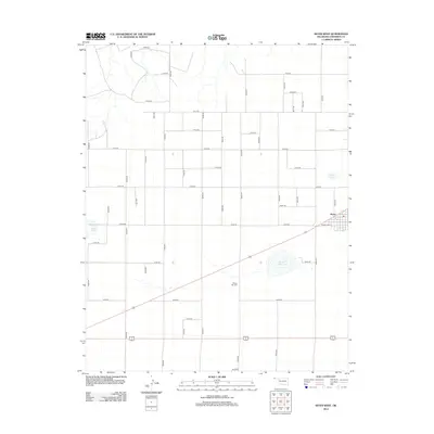
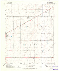 1971 Keyes East1973 Print · USGSCimarron County's high plains reveal a landscape of energy and industry in the 1970s. Researchers can trace the rail-side growth of Keyes, the operations at the Keyes Helium Plant, and the vast network of Gas Wells across Willowbar.
 - 1982 Map of Boise City
 1982 Boise City1982 Print · USGSThe Oklahoma Panhandle and neighboring borderlands come alive in this early eighties study of the high plains. Trace the historic Santa Fe Trail across the landscape near Boise City and locate landmarks like Robbers Roost Peak and Black Mesa.
 - 2010 Map of Keyes East, 2010 Print
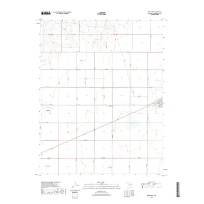
 2010 Keyes East2010 Print · USGSCovers Keyes, including Burton, Cimarron County, and other nearby areas
 - 2010 Map of Keyes West, 2010 Print
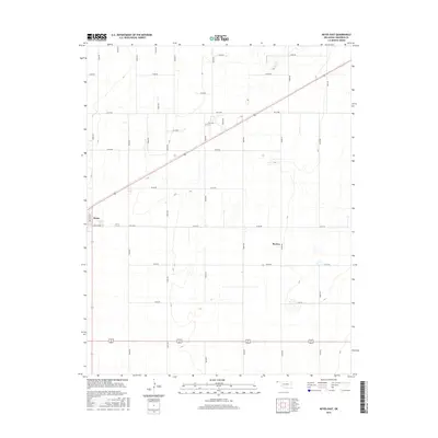
 2010 Keyes West2010 Print · USGSCovers Keyes, including Cimarron County, United States, and other nearby areas
 - 2012 Map of Keyes West, 2012 Print
 2012 Keyes West2012 Print · USGSCovers Keyes, including Cimarron County, United States, and other nearby areas
 - 2012 Map of Keyes East, 2012 Print
 2012 Keyes East2012 Print · USGSCovers Keyes, including Burton, Cimarron County, and other nearby areas
 - 2016 Map of Keyes West, 2016 Print
 2016 Keyes West2016 Print · USGSCovers Keyes, including Cimarron County, United States, and other nearby areas
 - 2016 Map of Keyes East, 2016 Print
 2016 Keyes East2016 Print · USGSCovers Keyes, including Burton, Cimarron County, and other nearby areas
 - 2018 Map of Keyes West, 2018 Print
 2018 Keyes West2018 Print · USGSCovers Keyes, including Cimarron County, United States, and other nearby areas
 - 2018 Map of Keyes East, 2018 Print
 2018 Keyes East2018 Print · USGSCovers Keyes, including Burton, Cimarron County, and other nearby areas
 - 2022 Map of Keyes East, 2022 Print
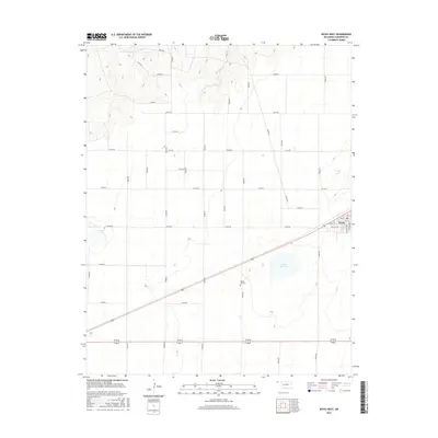
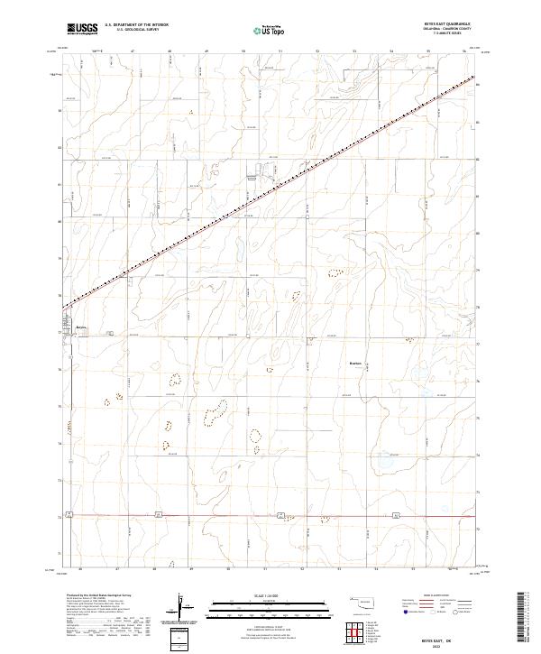 2022 Keyes East2022 Print · USGSThe Oklahoma Panhandle is captured here in the contemporary era, showing the grid-based agricultural landscape of Cimarron County. Genealogists and local historians can trace the town layouts of Keyes and Burton or follow the path of Goff Cr through the plains.
 - 2022 Map of Keyes West, 2022 Print
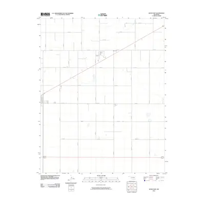
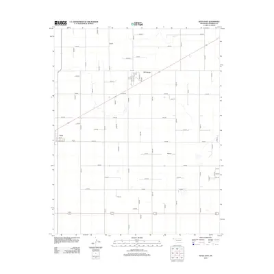
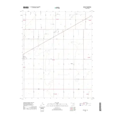
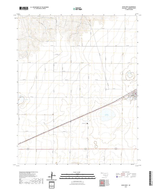 2022 Keyes West2022 Print · USGSSettled in the Oklahoma Panhandle, this area shows the town of Keyes and its surrounding ranchlands during the early twenty-first century. Researchers can locate the Willowbar Cem and trace local landmarks like Willow Bar Lake and Castor Lake.
End of results
Showing maps 1-16 of 16
Frequently asked questions
- What are the different types of historical maps available for Keyes?
- What is the oldest map of Keyes?
- Where can I purchase historical maps of Keyes for my home or office?
- Where can I download high-res historical maps of Keyes?
- Are there historical topographic maps available for Keyes?
- Is there historical aerial imagery available for Keyes?
- Where are historical maps of Keyes sourced from?