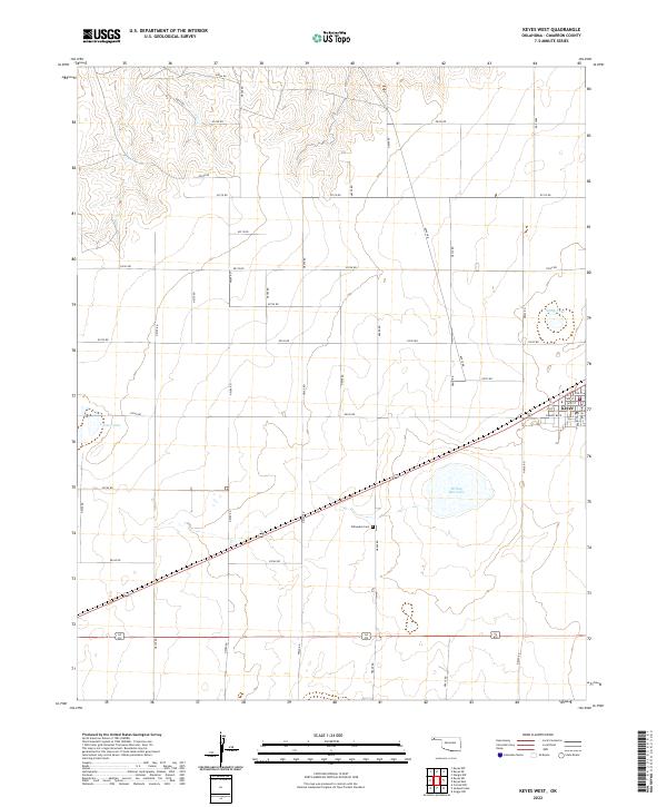
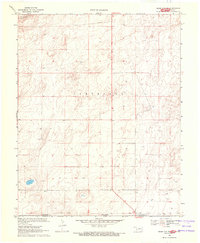
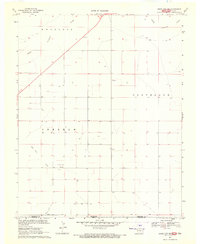
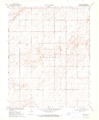
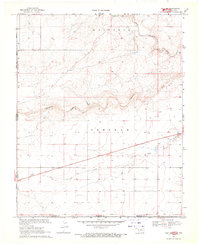
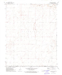
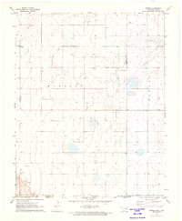
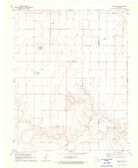
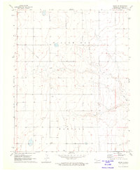
2022 Map of Keyes West
USGS Topo · Published 2022About this map
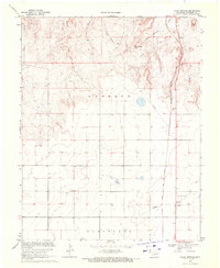
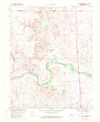
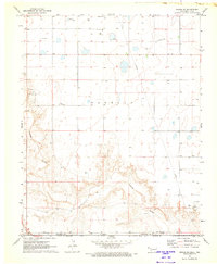
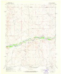
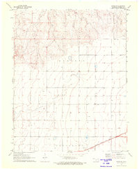
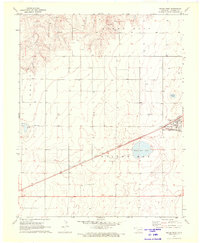
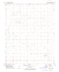
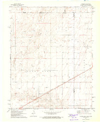
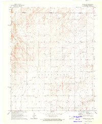
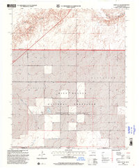
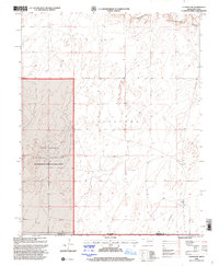
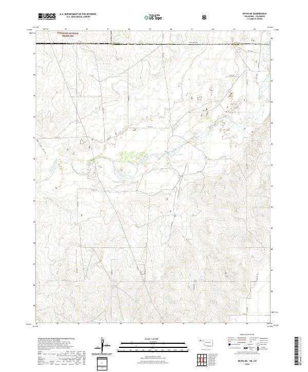
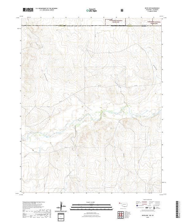
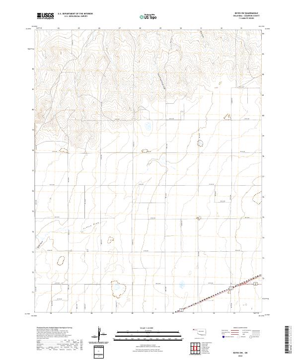
Keyes serves as the primary hub for the high plains of Cimarron County in the Oklahoma Panhandle. This landscape is defined by its geometric section-line road network, including Ramsey Blvd, Monroe Ave, and Polk Ave within the town center. Local history is anchored at the Willowbar Cem, situated in the open countryside south of the community. The topography is dotted with several significant local water bodies, notably Willow Bar Lake and Castor Lake, which are crucial landmarks in this semi-arid region. These features, along with Slimp Lake to the northeast, represent the essential water resources and social landmarks for the ranching and farming families of the western Panhandle.
Find a feature on this map
41 named features on this map. Tap any name to fly to it.
Don’t see what you’re looking for? This feature index may not catch every label — zoom into the map to look around manually.
Map Details
Editions of this 2022 Keyes West Map
This is the sole edition of this map. No revisions or reprints were ever made.
Historical Maps of Keyes Through Time
62 maps found
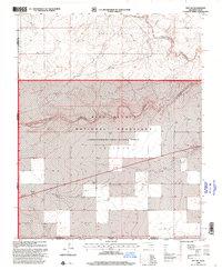
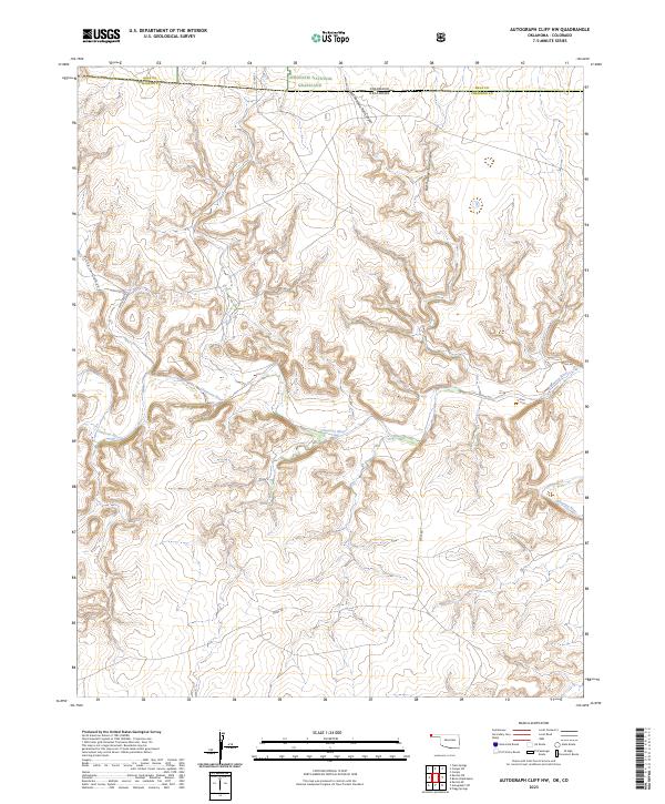
1968 Autograph Cliff NW
Cimarron County, OK
1969 Autograph Cliff
Cimarron County, OK
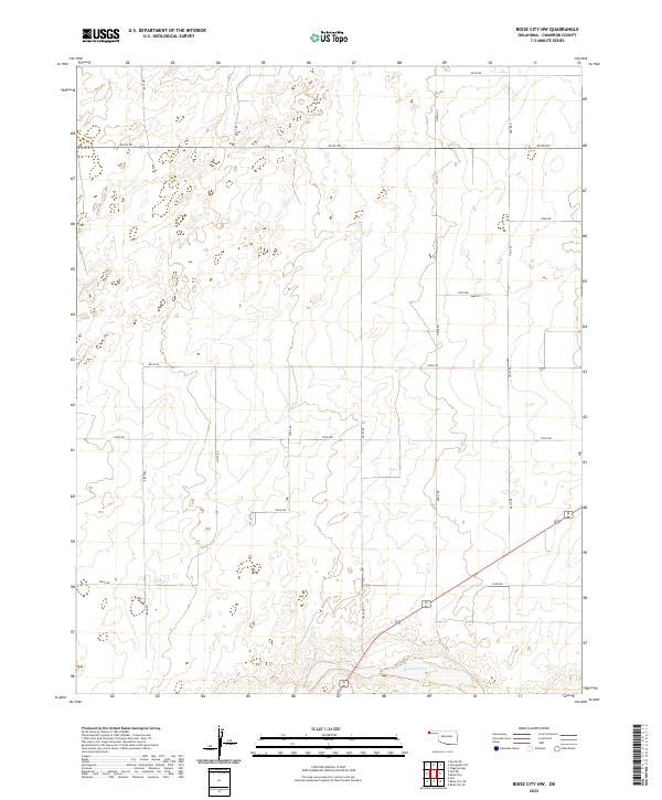
1969 Boise City NW
Cimarron County, OK
1969 Boise City SE
Cimarron County, OK
1969 Boise City SW
Cimarron County, OK
1969 Felt NE
Cimarron County, OK
1969 Felt SW
Cimarron County, OK
1969 Flagg Springs
Cimarron County, OK
1969 Kenton NE
Cimarron County, OK
1969 Kenton SE
Cimarron County, OK
1969 Kenton SW
Cimarron County, OK
1969 Razor Blade Mesa
Cimarron County, OK
1969 Wheeless
Cimarron County, OK
1971 Conrad
Cimarron County, OK
1971 Conrad NW
Cimarron County, OK
1971 Conrad SW
Cimarron County, OK
1971 Griggs
Cimarron County, OK
1971 Griggs NE
Cimarron County, OK
1971 Griggs NW
Cimarron County, OK
1971 Griggs SW
Cimarron County, OK
1971 Hopkins
Cimarron County, OK
1971 Keyes East
Cimarron County, OK
1971 Keyes NE
Cimarron County, OK
1971 Keyes NW
Cimarron County, OK
1971 Keyes SW
Cimarron County, OK
1971 Keyes West
Cimarron County, OK
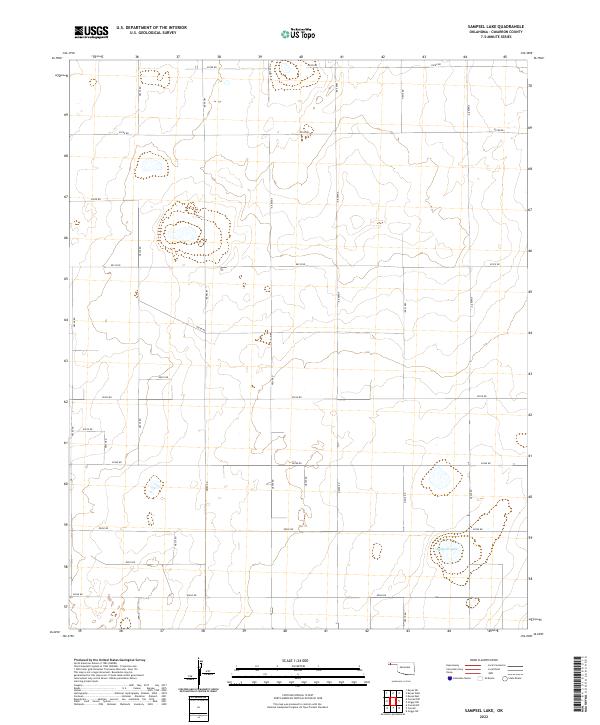
1971 Sampsel Lake
Cimarron County, OK
1971 Sturgis
Cimarron County, OK
1971 Sturgis NW
Cimarron County, OK

1998 Boise City SE
Cimarron County, OK
1998 Boise City SW
Cimarron County, OK
1998 Conrad SW
Cimarron County, OK
1998 Felt SW
Cimarron County, OK
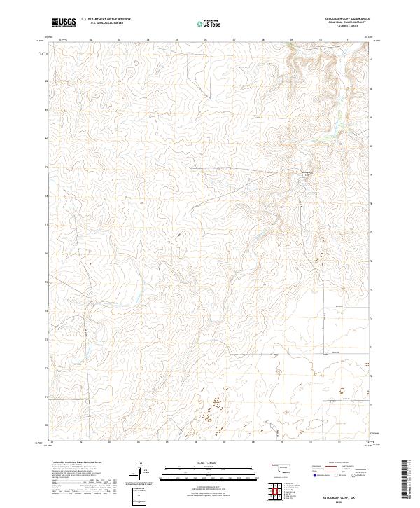
2022 Autograph Cliff
Cimarron County, OK
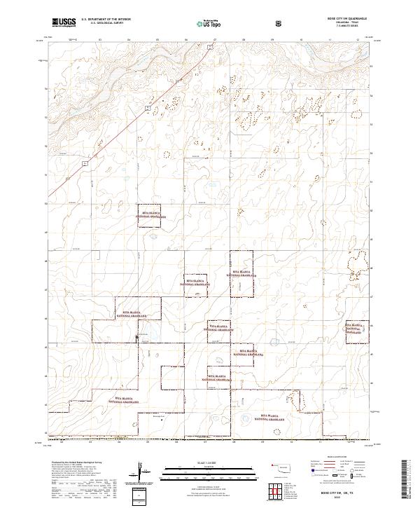
2022 Boise City NW
Cimarron County, OK
2022 Boise City SE
Cimarron County, OK
2022 Boise City SW
Cimarron County, OK
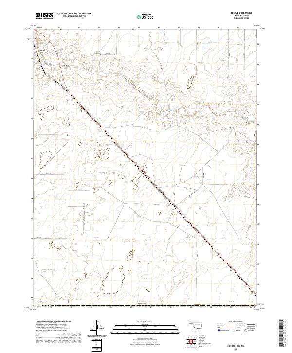
2022 Conrad
Cimarron County, OK
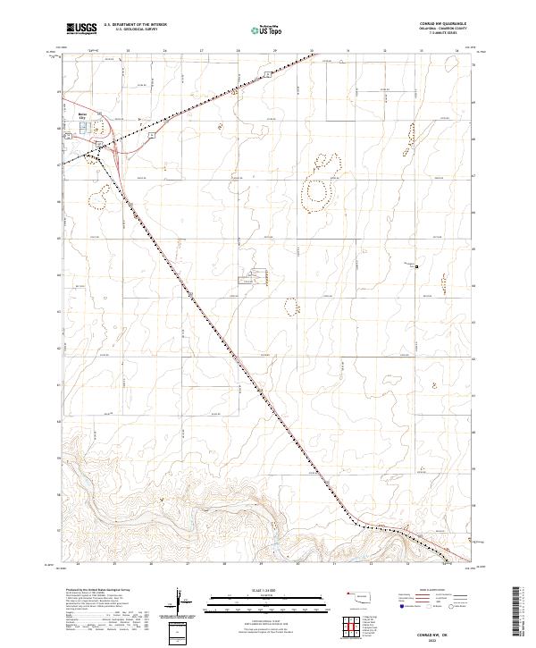
2022 Conrad NW
Cimarron County, OK
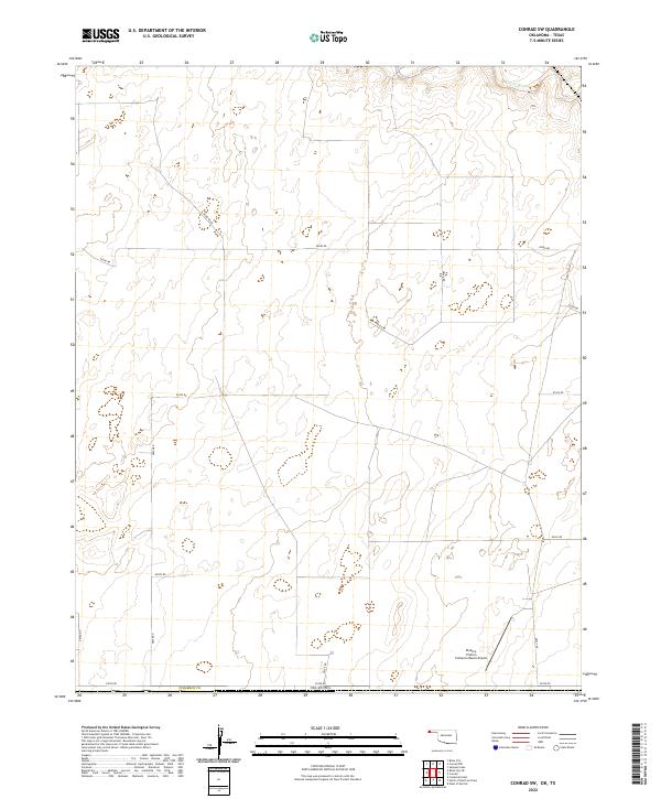
2022 Conrad SW
Cimarron County, OK
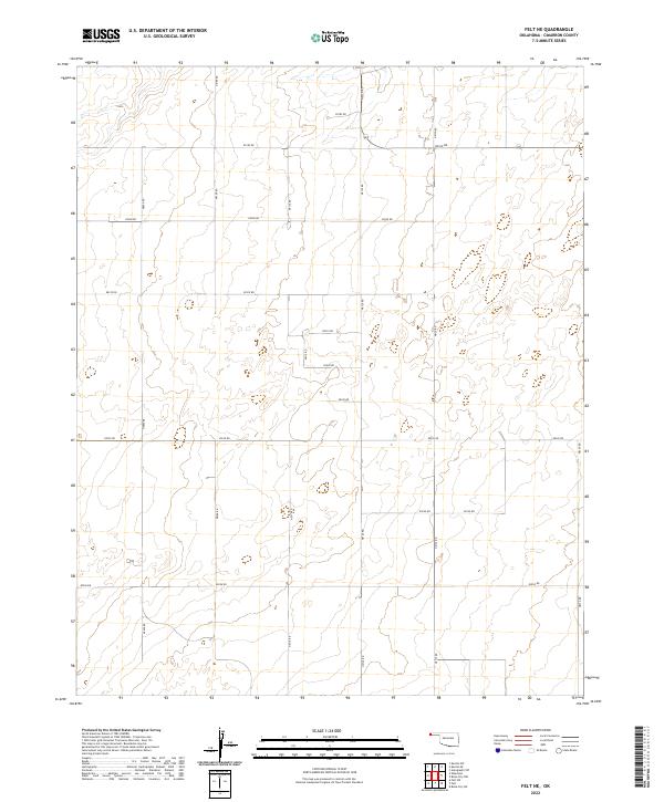
2022 Felt NE
Cimarron County, OK
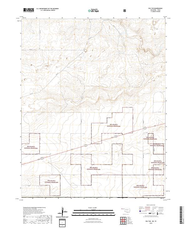
2022 Felt SW
Cimarron County, OK
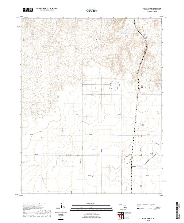
2022 Flagg Springs
Cimarron County, OK
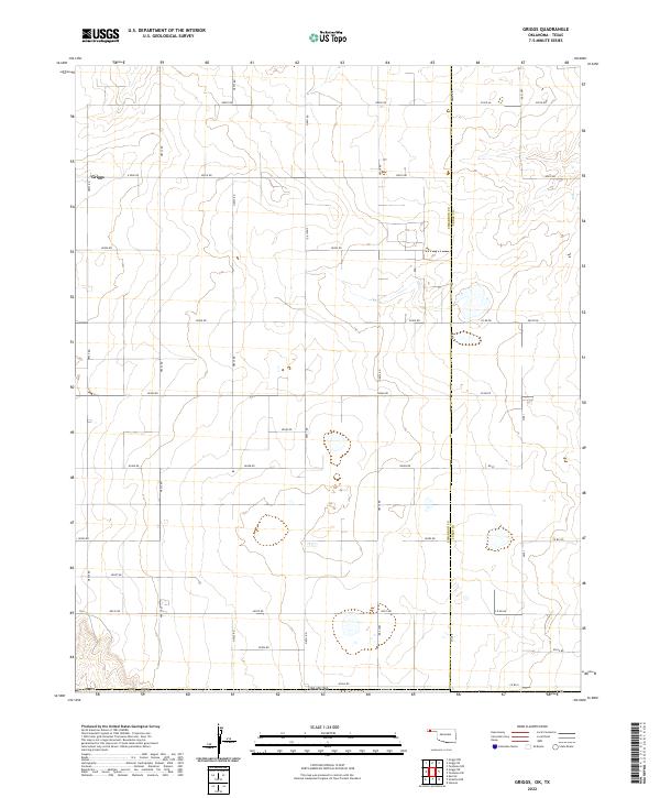
2022 Griggs
Cimarron County, OK
2022 Griggs NE
Cimarron County, OK
2022 Griggs NW
Cimarron County, OK
2022 Griggs SW
Cimarron County, OK
2022 Hopkins
Cimarron County, OK
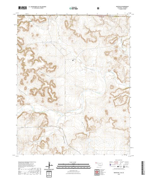
2022 Kenton NE
Cimarron County, OK
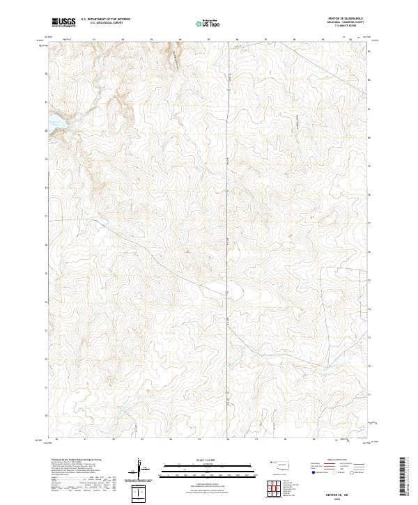
2022 Kenton SE
Cimarron County, OK
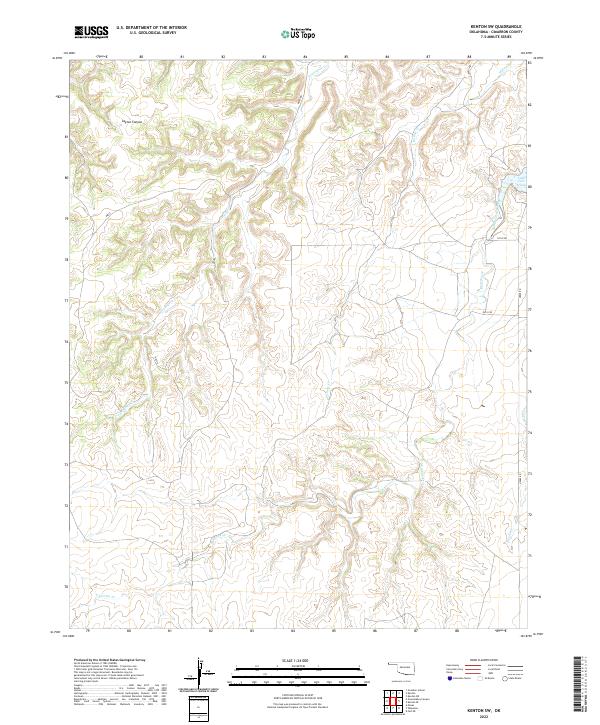
2022 Kenton SW
Cimarron County, OK
2022 Keyes East
Cimarron County, OK
2022 Keyes NE
Cimarron County, OK
2022 Keyes NW
Cimarron County, OK
2022 Keyes SW
Cimarron County, OK
2022 Keyes West
Cimarron County, OK
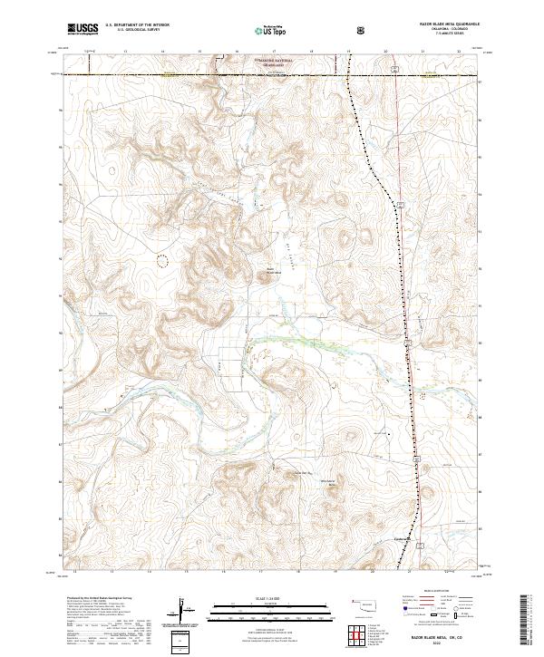
2022 Razor Blade Mesa
Cimarron County, OK
2022 Sampsel Lake
Cimarron County, OK
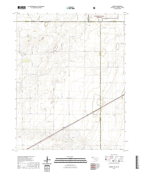
2022 Sturgis
Cimarron County, OK
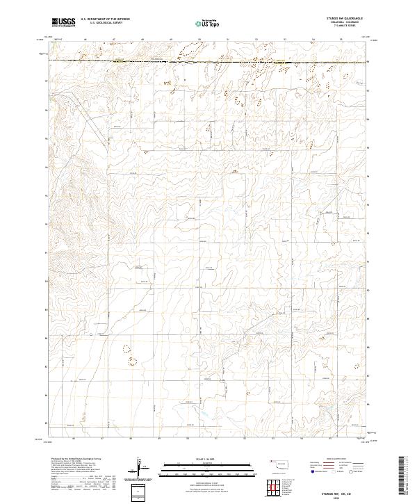
2022 Sturgis NW
Cimarron County, OK
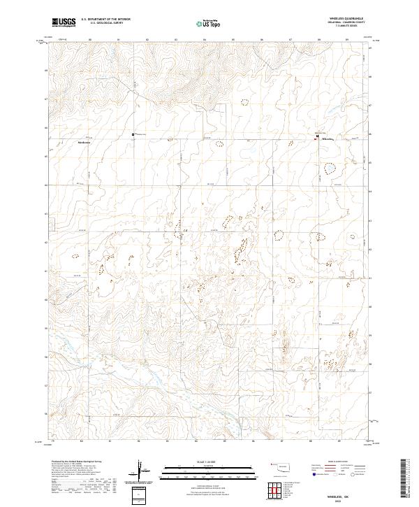
2022 Wheeless
Cimarron County, OK
2023 Autograph Cliff NW
Cimarron County, OK