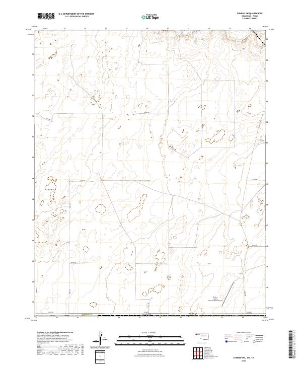
2022 Map of Conrad SW
USGS Topo · Published 2022About this map
Beaver River flows through the northern reaches of this Cimarron County landscape, marking one of the few significant watercourses in a region defined by a rigid section-line road grid. The terrain is characterized by the expansive ranching and agricultural operations typical of the Oklahoma Panhandle, where long stretches of road like N0300 Rd and E0350 Rd connect remote homesteads and local infrastructure. Near the southern edge, the Perkins-Prothro Cimarron Ranch Airport serves as a critical local aviation hub, reflecting the importance of air travel for large-scale ranch management and connectivity in this wide-open territory. The survey reveals a landscape of high-plains efficiency, where the placement of cattle tanks and section boundaries like t1n r6e illustrates the modern organization of this borderland near the Texas line.
Find a feature on this map
22 named features on this map. Tap any name to fly to it.
Don’t see what you’re looking for? This feature index may not catch every label — zoom into the map to look around manually.
Map Details
Editions of this 2022 Conrad SW Map
This is the sole edition of this map. No revisions or reprints were ever made.
Other maps of this area

1954 · Dalhart
USGS Topo · 1:250,000

1958 · Dalhart
USGS Topo · 1:250,000

1962 · Dalhart
USGS Topo · 1:250,000

1964 · Stratford 2 NE
USGS Topo · 1:24,000

1969 · Boise City
USGS Topo · 1:24,000

1969 · Boise City SE
USGS Topo · 1:24,000

1971 · Sampsel Lake
USGS Topo · 1:24,000

1971 · Conrad NW
USGS Topo · 1:24,000

1971 · Conrad SW
USGS Topo · 1:24,000
1971 · Conrad
USGS Topo · 1:24,000