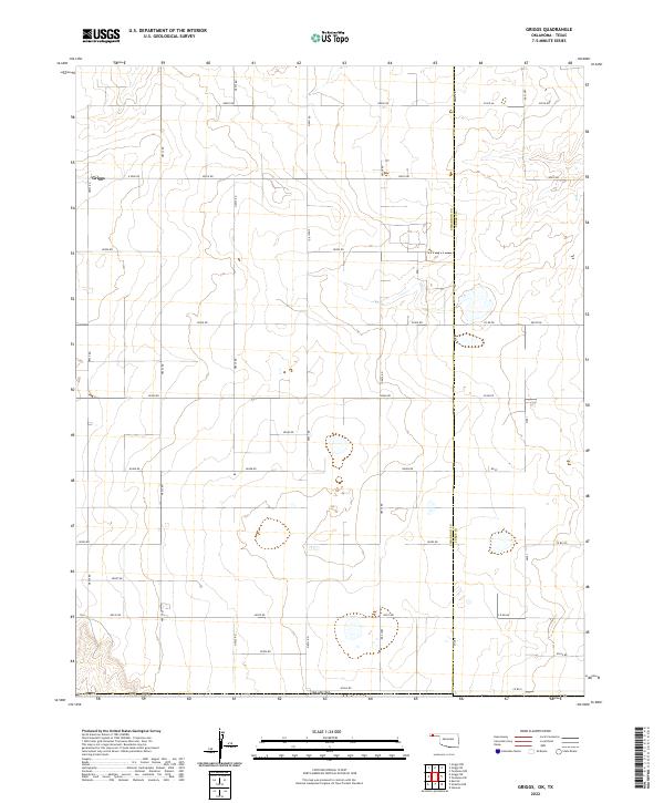
2022 Map of Griggs
USGS Topo · Published 2022About this map
Griggs stands as the primary namesake settlement on this high plains landscape at the border of the Oklahoma Panhandle and Texas. The terrain is defined by an expansive grid of rural roads and section lines, with the Cimarron Co and Texas Co boundary line running north-to-south through the center of the survey. Significant local thoroughfares like N0535 Rd, N0500 Rd, and E 0280 Rd connect various agricultural tracts across Oklahoma. Small, scattered ephemeral ponds and depressions dot the sections, particularly near Mile 0 and Mile 1, illustrating the natural drainage patterns of this prairie environment. This map highlights the methodical land division of the Southern Plains, where the Public Land Survey System dictated a strict geometry for ranching and farming long after initial settlement.
Find a feature on this map
39 named features on this map. Tap any name to fly to it.
Don’t see what you’re looking for? This feature index may not catch every label — zoom into the map to look around manually.
Map Details
Editions of this 2022 Griggs Map
This is the sole edition of this map. No revisions or reprints were ever made.
Other maps of this area

1954 · Perryton
USGS Topo · 1:250,000

1954 · Dalhart
USGS Topo · 1:250,000

1958 · Perryton
USGS Topo · 1:250,000

1958 · Dalhart
USGS Topo · 1:250,000

1962 · Dalhart
USGS Topo · 1:250,000

1964 · Kerrick
USGS Topo · 1:24,000

1964 · Stratford NE
USGS Topo · 1:24,000

1965 · Stevens
USGS Topo · 1:24,000

1971 · Griggs SW
USGS Topo · 1:24,000

1971 · Griggs NE
USGS Topo · 1:24,000