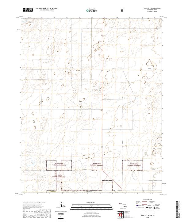
2022 Map of Boise City SE
USGS Topo · Published 2022About this map
Rita Blanca National Grassland dominates the southern landscape of this section of Cimarron Co, Oklahoma, reflecting the region's managed conservation history. The map documents a strictly organized township and range grid, where cattle guards and section lines like N0270 Rd and E0310 Rd define the high plains of the Panhandle. In the northwest corner, the Beaver River cuts across the terrain, representing a vital water source in an otherwise semi-arid environment. The lack of concentrated settlements highlights the area's agricultural and grazing character, with the landscape segmented into precisely measured blocks such as t2n r4e and t1n r5e. For those studying land use and federal conservation efforts, this document provides a clear view of how the national grassland is integrated with the surrounding rural road network.
Find a feature on this map
21 named features on this map. Tap any name to fly to it.
Don’t see what you’re looking for? This feature index may not catch every label — zoom into the map to look around manually.
Map Details
Editions of this 2022 Boise City SE Map
This is the sole edition of this map. No revisions or reprints were ever made.
Other maps of this area

1954 · Dalhart
USGS Topo · 1:250,000

1958 · Dalhart
USGS Topo · 1:250,000

1962 · Dalhart
USGS Topo · 1:250,000

1969 · Boise City
USGS Topo · 1:24,000

1969 · Boise City NW
USGS Topo · 1:24,000

1969 · Boise City SW
USGS Topo · 1:24,000

1969 · Boise City SE
USGS Topo · 1:24,000

1971 · Conrad NW
USGS Topo · 1:24,000

1971 · Conrad SW
USGS Topo · 1:24,000

1973 · Stratford 2 NW
USGS Topo · 1:24,000