
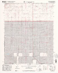
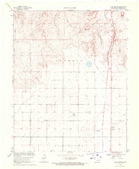
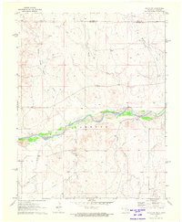
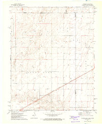
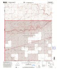
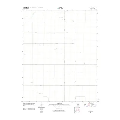
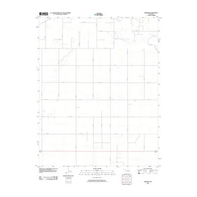
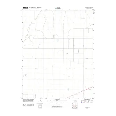
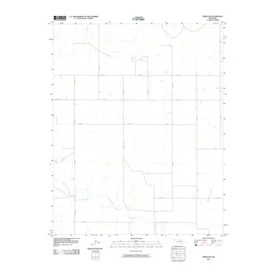
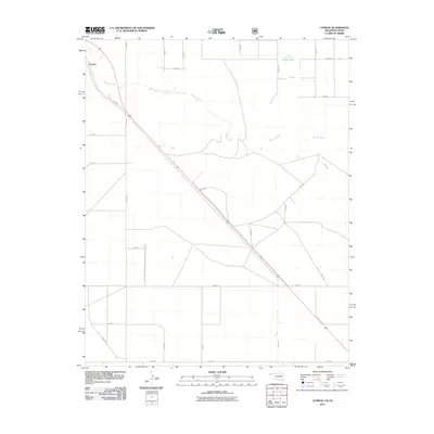
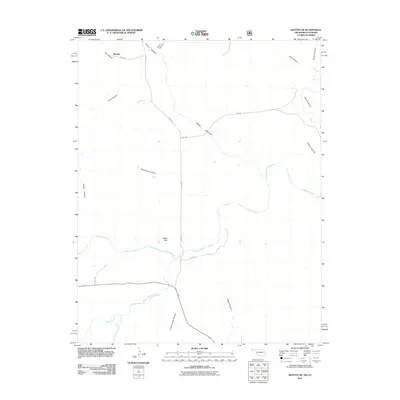
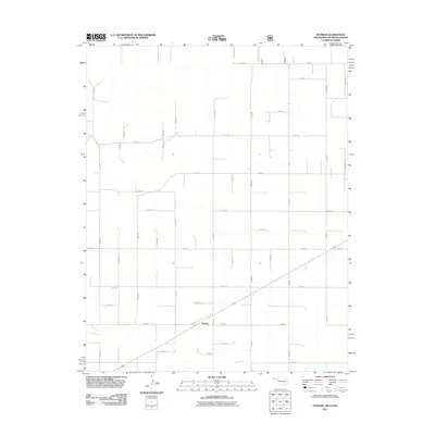
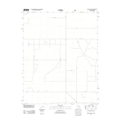
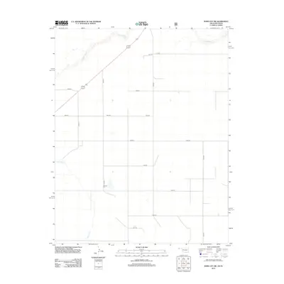
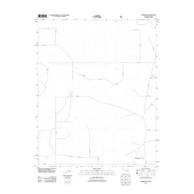
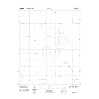
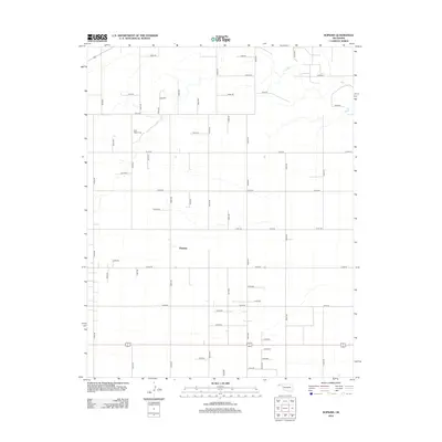
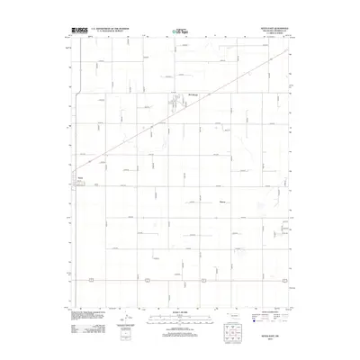
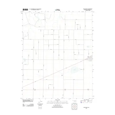
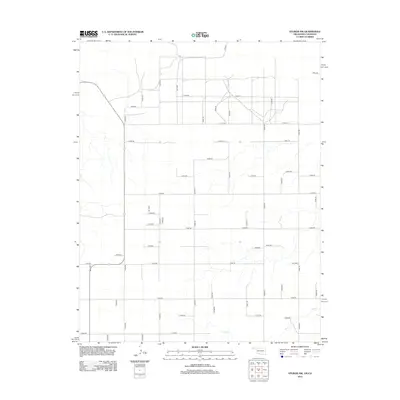
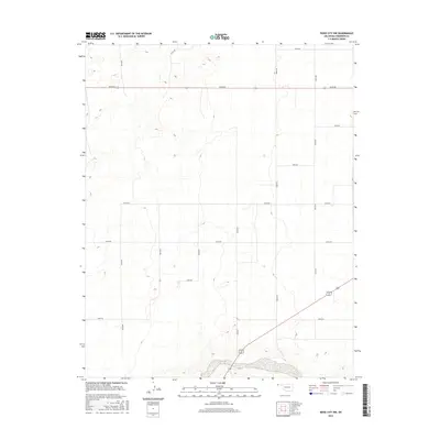
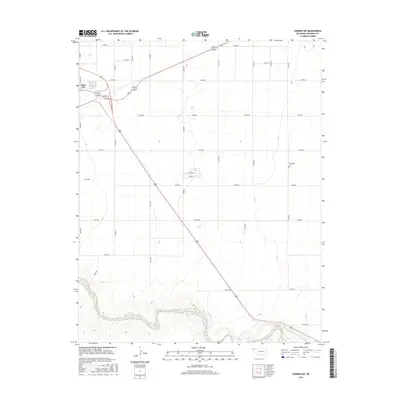
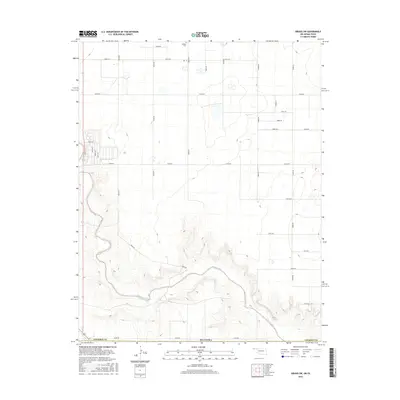
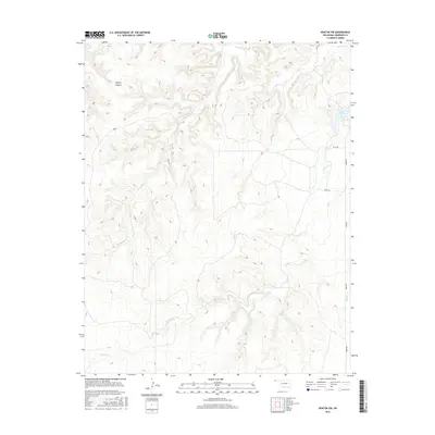
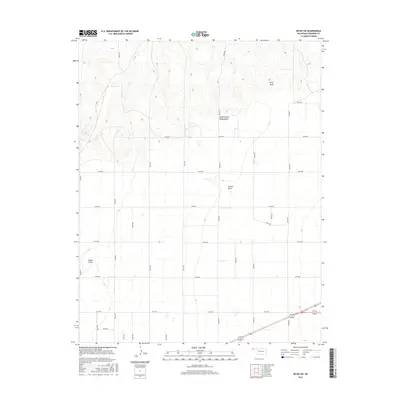
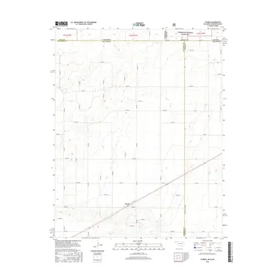
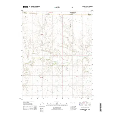
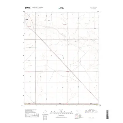
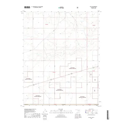
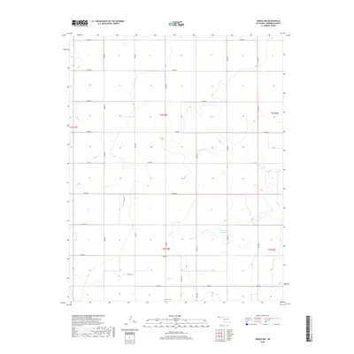
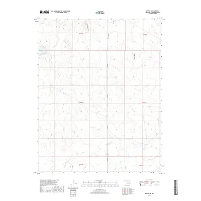
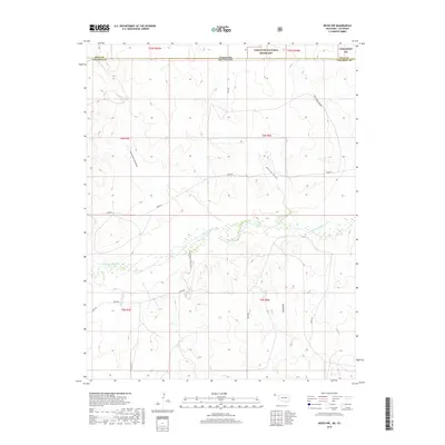
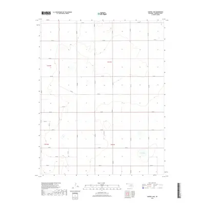
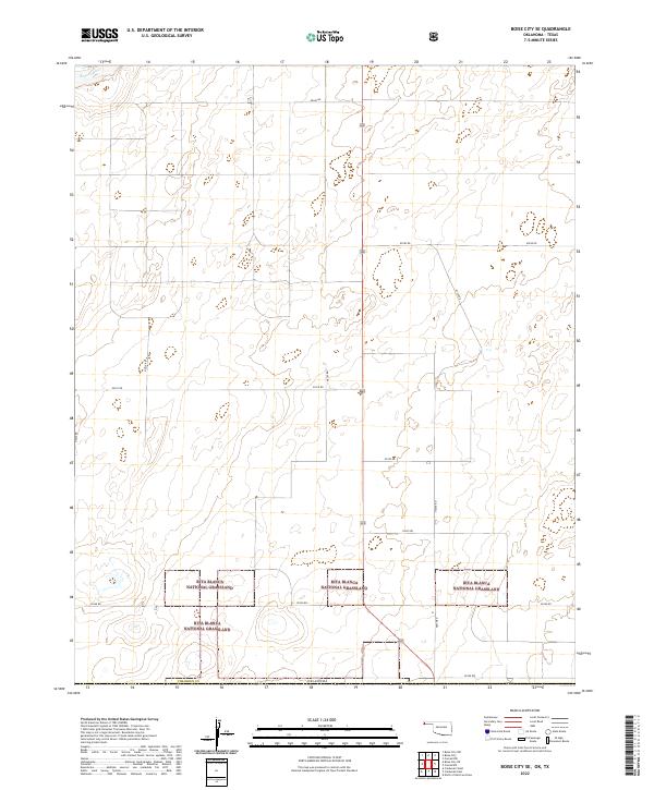
1998 Map of Boise City SE
USGS Topo · Published 2001About this map
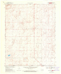
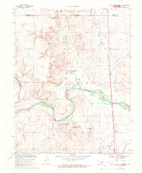
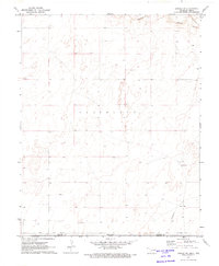
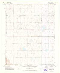
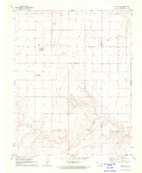
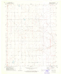
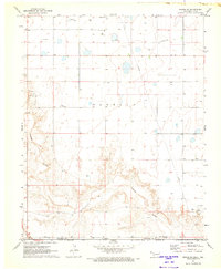
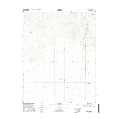
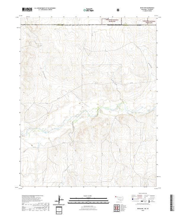
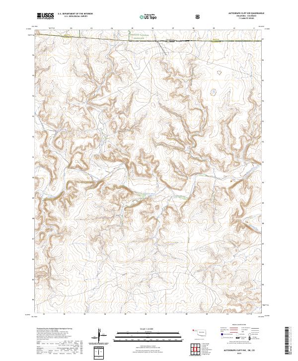
Rita Blanca National Grassland dominates this high plains landscape at the turn of the millennium, straddling the border where the Oklahoma Panhandle meets the Texas Panhandle. The map documents the rural character of Cimarron County and Dallam County during a 1998 revision of earlier data. The terrain is marked by a sparse network of natural and industrial features, including several wells scattered across the township of Cleveland. The northern edge of the survey is defined by the drainage of Beaver Creek, while a prominent Gas Pipeline cuts through the eastern sections, signaling the infrastructure of the regional energy economy. This edition provides a clear record of land divisions and property lines within the National Forest System during the late 1990s.
Find a feature on this map
8 named features on this map. Tap any name to fly to it.
Don’t see what you’re looking for? This feature index may not catch every label — zoom into the map to look around manually.
Map Details
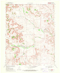
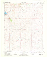
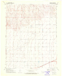
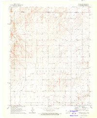
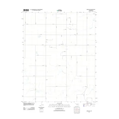
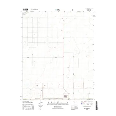
Editions of this 1998 Boise City SE Map
2 editions found
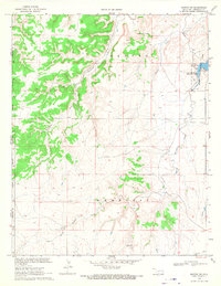
Historical Maps of Cimarron County Through Time
178 maps found
1968 Autograph Cliff NW
Cimarron County, OK
1969 Autograph Cliff
Cimarron County, OK
1969 Boise City NW
Cimarron County, OK
1969 Boise City SE
Cimarron County, OK
1969 Boise City SW
Cimarron County, OK
1969 Felt NE
Cimarron County, OK
1969 Felt SW
Cimarron County, OK
1969 Flagg Springs
Cimarron County, OK
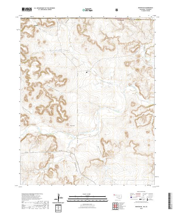
1969 Kenton NE
Cimarron County, OK
1969 Kenton SE
Cimarron County, OK
1969 Kenton SW
Cimarron County, OK
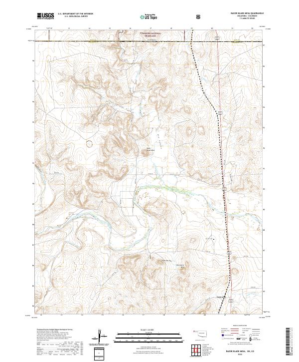
1969 Razor Blade Mesa
Cimarron County, OK
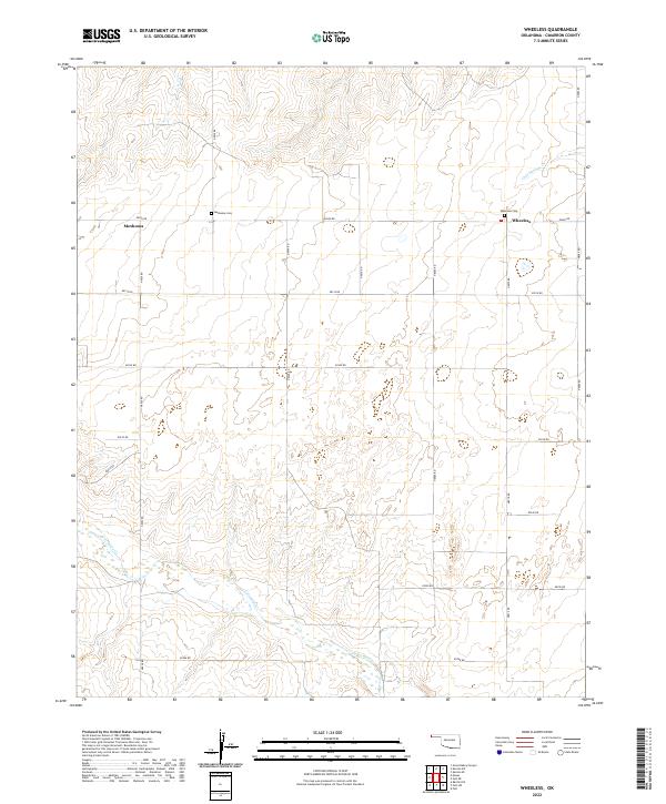
1969 Wheeless
Cimarron County, OK
1971 Conrad
Cimarron County, OK
1971 Conrad NW
Cimarron County, OK
1971 Conrad SW
Cimarron County, OK
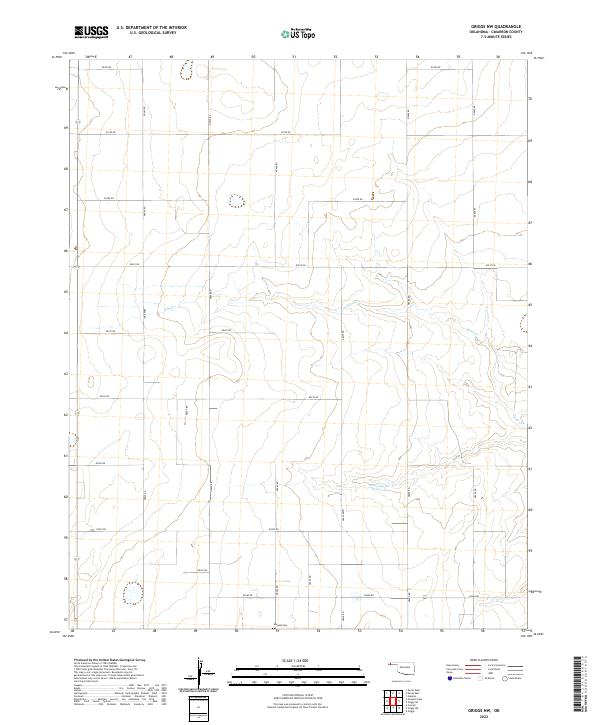
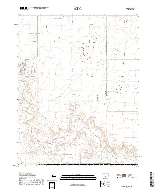
1971 Griggs
Cimarron County, OK
1971 Griggs NE
Cimarron County, OK
1971 Griggs NW
Cimarron County, OK
1971 Griggs SW
Cimarron County, OK
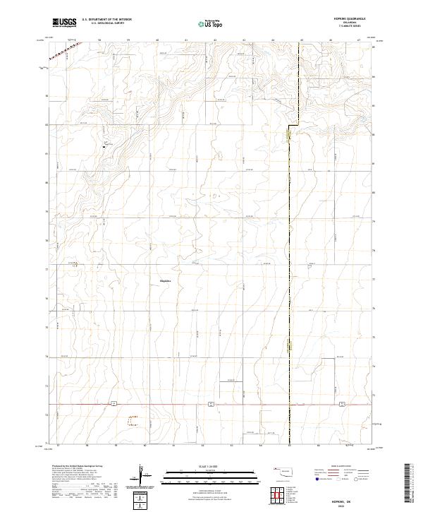
1971 Hopkins
Cimarron County, OK
1971 Keyes East
Cimarron County, OK
1971 Keyes NE
Cimarron County, OK
1971 Keyes NW
Cimarron County, OK
1971 Keyes SW
Cimarron County, OK
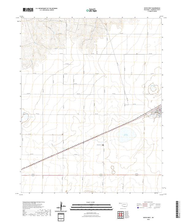
1971 Keyes West
Cimarron County, OK
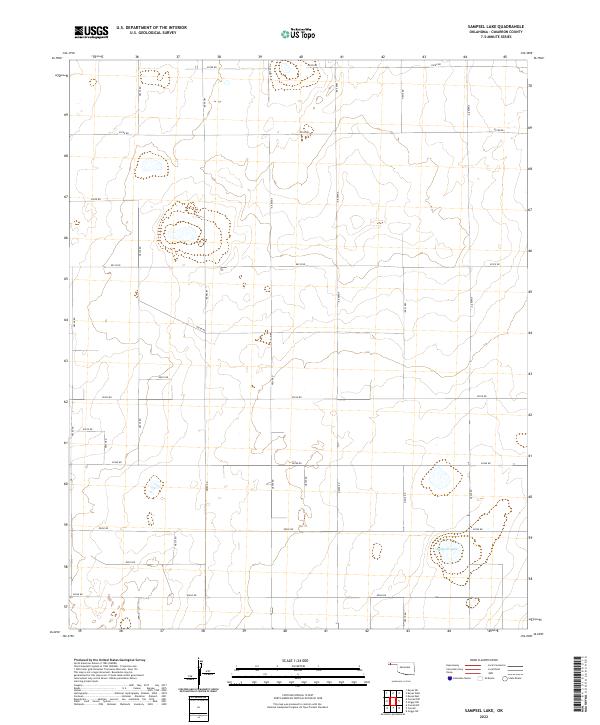
1971 Sampsel Lake
Cimarron County, OK
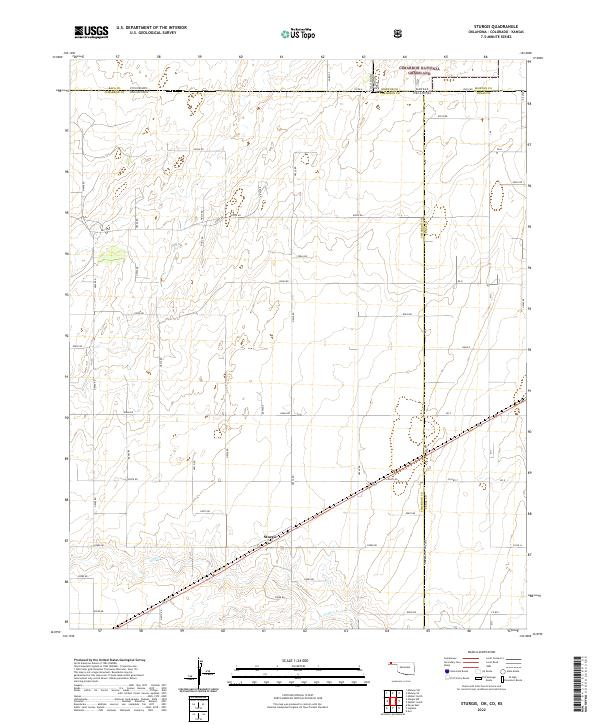
1971 Sturgis
Cimarron County, OK
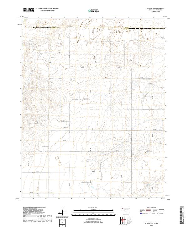
1971 Sturgis NW
Cimarron County, OK
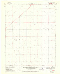
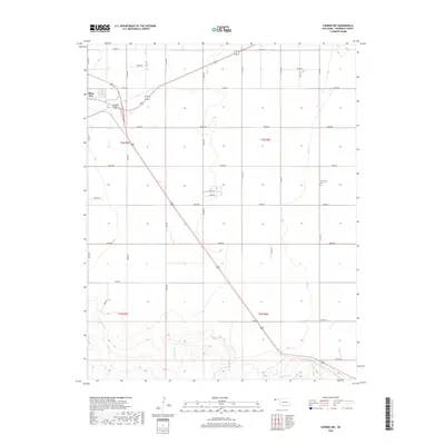
1998 Boise City SE
Cimarron County, OK
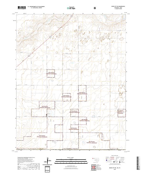
1998 Boise City SW
Cimarron County, OK
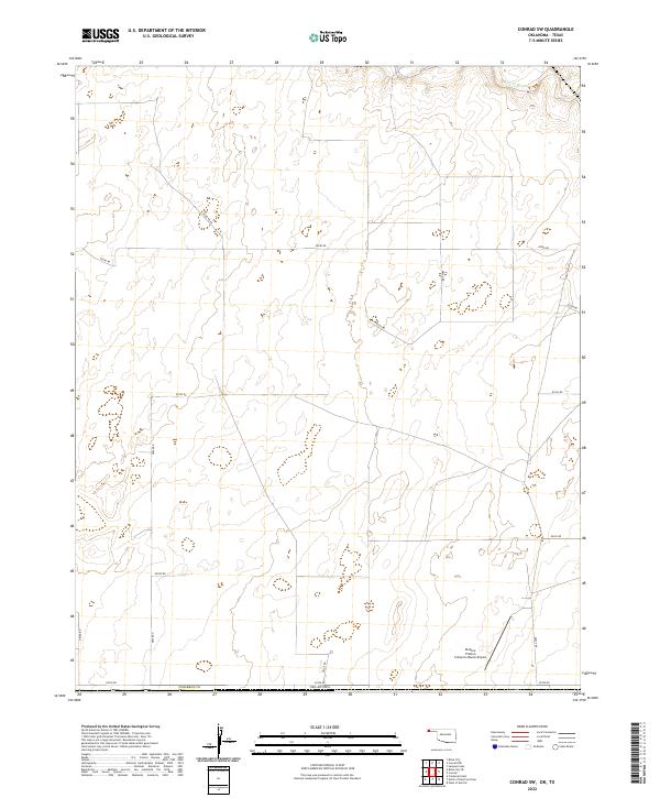
1998 Conrad SW
Cimarron County, OK
1998 Felt SW
Cimarron County, OK
2010 Autograph Cliff
Cimarron County, OK
2010 Boise City NW
Cimarron County, OK
2010 Conrad NW
Cimarron County, OK
2010 Felt NE
Cimarron County, OK
2010 Flagg Springs
Cimarron County, OK
2010 Griggs NE
Cimarron County, OK
2010 Griggs NW
Cimarron County, OK
2010 Hopkins
Cimarron County, OK
2010 Kenton SE
Cimarron County, OK
2010 Kenton SW
Cimarron County, OK
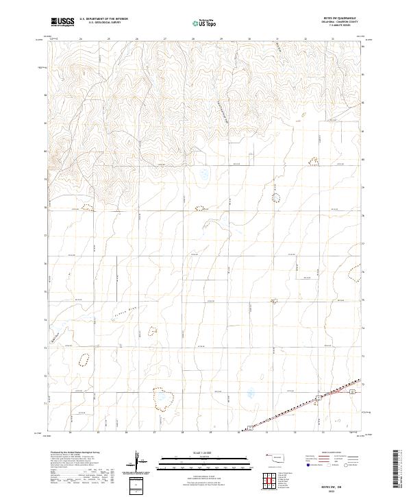
2010 Keyes East
Cimarron County, OK
2010 Keyes SW
Cimarron County, OK
2010 Keyes West
Cimarron County, OK
2010 Sampsel Lake
Cimarron County, OK
2010 Sturgis NW
Cimarron County, OK
2010 Wheeless
Cimarron County, OK
2011 Autograph Cliff NW
Cimarron County, OK
2011 Boise City SE
Cimarron County, OK
2011 Boise City SW
Cimarron County, OK
2011 Conrad
Cimarron County, OK

2011 Conrad SW
Cimarron County, OK
2011 Felt SW
Cimarron County, OK
2011 Griggs
Cimarron County, OK
2011 Griggs SW
Cimarron County, OK
2011 Kenton NE
Cimarron County, OK
2011 Keyes NE
Cimarron County, OK
2011 Keyes NW
Cimarron County, OK
2011 Razor Blade Mesa
Cimarron County, OK
2011 Sturgis
Cimarron County, OK
2012 Autograph Cliff
Cimarron County, OK
2012 Autograph Cliff NW
Cimarron County, OK
2012 Boise City NW
Cimarron County, OK
2012 Boise City SE
Cimarron County, OK
2012 Boise City SW
Cimarron County, OK
2012 Conrad
Cimarron County, OK
2012 Conrad NW
Cimarron County, OK
2012 Conrad SW
Cimarron County, OK
2012 Felt NE
Cimarron County, OK
2012 Felt SW
Cimarron County, OK
2012 Flagg Springs
Cimarron County, OK
2012 Griggs
Cimarron County, OK
2012 Griggs NE
Cimarron County, OK
2012 Griggs NW
Cimarron County, OK
2012 Griggs SW
Cimarron County, OK
2012 Hopkins
Cimarron County, OK
2012 Kenton NE
Cimarron County, OK
2012 Kenton SE
Cimarron County, OK
2012 Kenton SW
Cimarron County, OK
2012 Keyes East
Cimarron County, OK
2012 Keyes NE
Cimarron County, OK
2012 Keyes NW
Cimarron County, OK
2012 Keyes SW
Cimarron County, OK
2012 Keyes West
Cimarron County, OK
2012 Razor Blade Mesa
Cimarron County, OK
2012 Sampsel Lake
Cimarron County, OK
2012 Sturgis
Cimarron County, OK
2012 Sturgis NW
Cimarron County, OK
2012 Wheeless
Cimarron County, OK
2016 Autograph Cliff
Cimarron County, OK
2016 Autograph Cliff NW
Cimarron County, OK
2016 Boise City NW
Cimarron County, OK
2016 Boise City SE
Cimarron County, OK
2016 Boise City SW
Cimarron County, OK
2016 Conrad
Cimarron County, OK
2016 Conrad NW
Cimarron County, OK
2016 Conrad SW
Cimarron County, OK
2016 Felt NE
Cimarron County, OK
2016 Felt SW
Cimarron County, OK
2016 Flagg Springs
Cimarron County, OK
2016 Griggs
Cimarron County, OK
2016 Griggs NE
Cimarron County, OK
2016 Griggs NW
Cimarron County, OK
2016 Griggs SW
Cimarron County, OK
2016 Hopkins
Cimarron County, OK
2016 Kenton NE
Cimarron County, OK
2016 Kenton SE
Cimarron County, OK
2016 Kenton SW
Cimarron County, OK
2016 Keyes East
Cimarron County, OK
2016 Keyes NE
Cimarron County, OK
2016 Keyes NW
Cimarron County, OK
2016 Keyes SW
Cimarron County, OK
2016 Keyes West
Cimarron County, OK
2016 Razor Blade Mesa
Cimarron County, OK
2016 Sampsel Lake
Cimarron County, OK
2016 Sturgis
Cimarron County, OK
2016 Sturgis NW
Cimarron County, OK
2016 Wheeless
Cimarron County, OK
2018 Autograph Cliff
Cimarron County, OK
2018 Autograph Cliff NW
Cimarron County, OK
2018 Boise City NW
Cimarron County, OK
2018 Boise City SE
Cimarron County, OK
2018 Boise City SW
Cimarron County, OK
2018 Conrad
Cimarron County, OK
2018 Conrad NW
Cimarron County, OK
2018 Conrad SW
Cimarron County, OK
2018 Felt NE
Cimarron County, OK
2018 Felt SW
Cimarron County, OK
2018 Flagg Springs
Cimarron County, OK
2018 Griggs
Cimarron County, OK
2018 Griggs NE
Cimarron County, OK
2018 Griggs NW
Cimarron County, OK
2018 Griggs SW
Cimarron County, OK
2018 Hopkins
Cimarron County, OK
2018 Kenton NE
Cimarron County, OK
2018 Kenton SE
Cimarron County, OK
2018 Kenton SW
Cimarron County, OK
2018 Keyes East
Cimarron County, OK
2018 Keyes NE
Cimarron County, OK
2018 Keyes NW
Cimarron County, OK
2018 Keyes SW
Cimarron County, OK
2018 Keyes West
Cimarron County, OK
2018 Razor Blade Mesa
Cimarron County, OK
2018 Sampsel Lake
Cimarron County, OK
2018 Sturgis
Cimarron County, OK
2018 Sturgis NW
Cimarron County, OK
2018 Wheeless
Cimarron County, OK
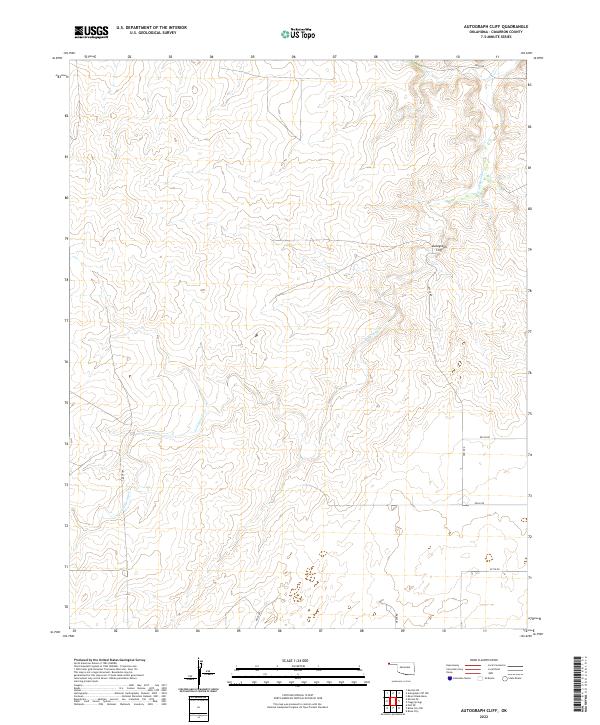
2022 Autograph Cliff
Cimarron County, OK
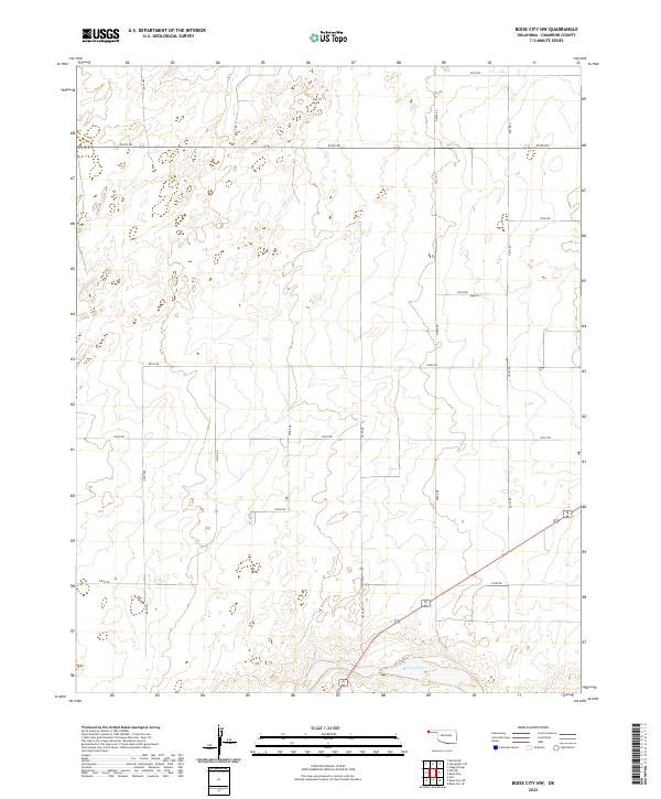
2022 Boise City NW
Cimarron County, OK
2022 Boise City SE
Cimarron County, OK
2022 Boise City SW
Cimarron County, OK
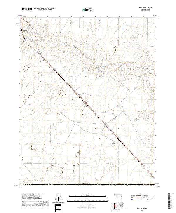
2022 Conrad
Cimarron County, OK
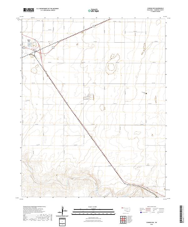
2022 Conrad NW
Cimarron County, OK
2022 Conrad SW
Cimarron County, OK
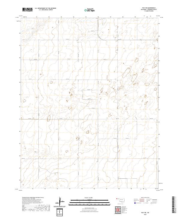
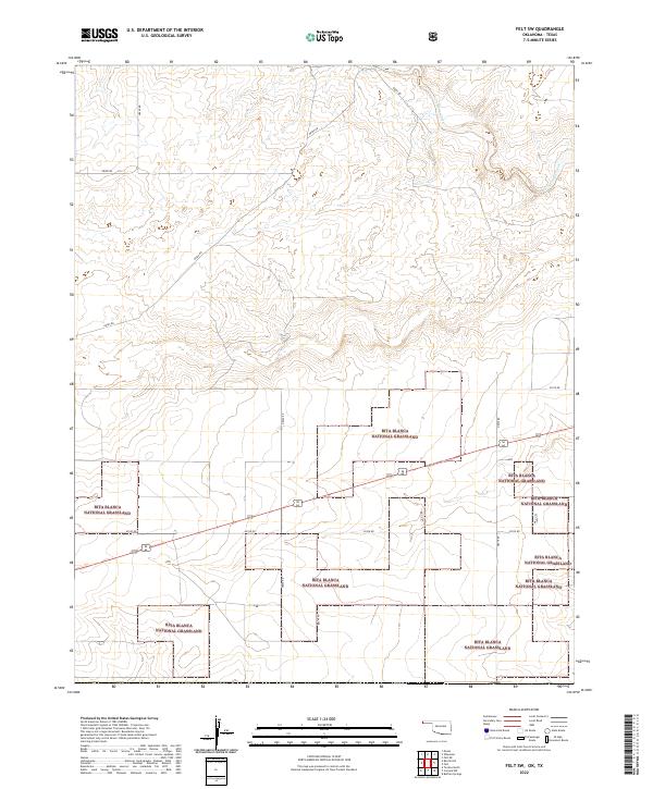
2022 Felt NE
Cimarron County, OK
2022 Felt SW
Cimarron County, OK
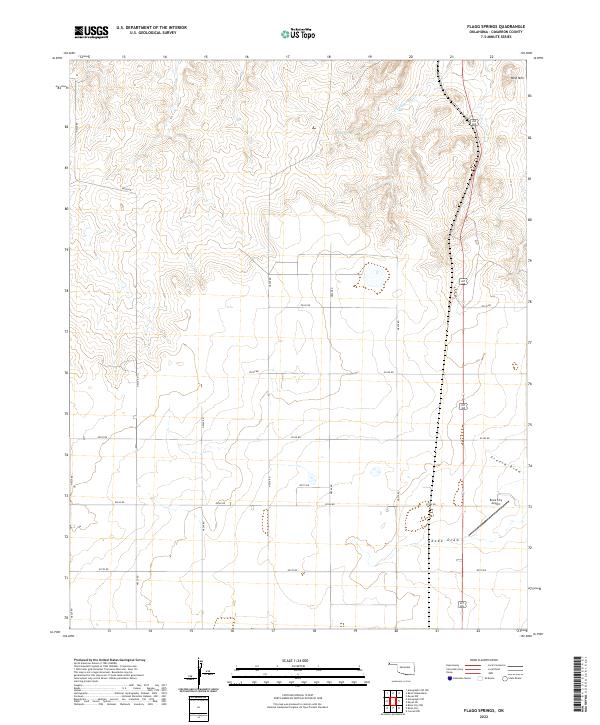
2022 Flagg Springs
Cimarron County, OK
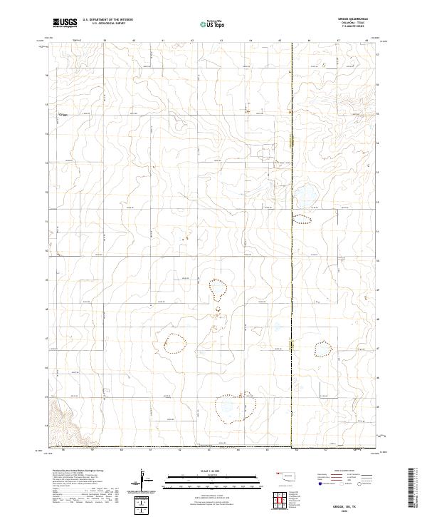
2022 Griggs
Cimarron County, OK
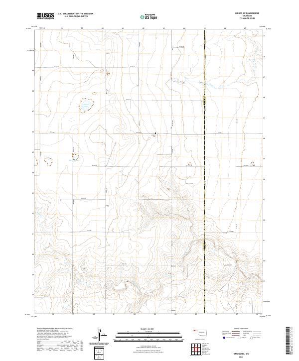
2022 Griggs NE
Cimarron County, OK
2022 Griggs NW
Cimarron County, OK
2022 Griggs SW
Cimarron County, OK
2022 Hopkins
Cimarron County, OK
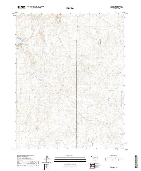
2022 Kenton NE
Cimarron County, OK
2022 Kenton SE
Cimarron County, OK
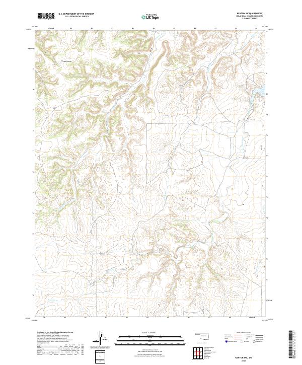
2022 Kenton SW
Cimarron County, OK
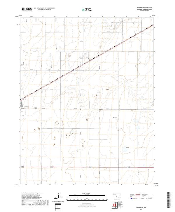
2022 Keyes East
Cimarron County, OK
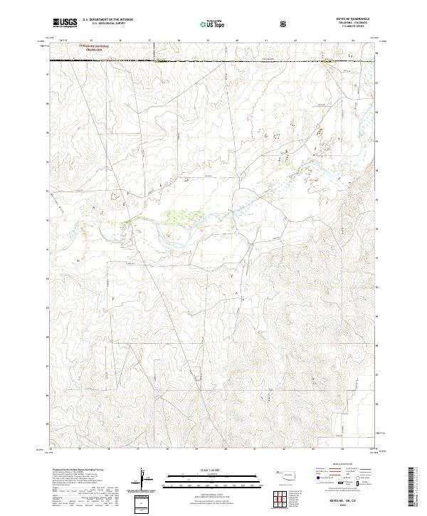
2022 Keyes NE
Cimarron County, OK
2022 Keyes NW
Cimarron County, OK
2022 Keyes SW
Cimarron County, OK
2022 Keyes West
Cimarron County, OK
2022 Razor Blade Mesa
Cimarron County, OK
2022 Sampsel Lake
Cimarron County, OK
2022 Sturgis
Cimarron County, OK
2022 Sturgis NW
Cimarron County, OK
2022 Wheeless
Cimarron County, OK
2023 Autograph Cliff NW
Cimarron County, OK