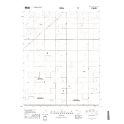
2018 Map of Boise City SW
USGS Topo · Published 2018About this map
Rita Blanca National Grassland dominates this portion of the Oklahoma Panhandle, where the high plains meet the headwaters of the Beaver River. The landscape is a study in the intersection of federal conservation efforts and early 20th-century settlement patterns, reflected in the isolated cemeteries and section-line roads that cross the prairie. Local history is anchored by the Bertrand Cem and Rammage Cem, both located within the township boundaries of t1n r3e and t1s r3e. The intermittent drainage of Aqua Fria Cr winds through the southern grasslands, illustrating the arid hydrology of Cimarron County. A grid of county roads, including e0310 RD and e0320 RD, provides access to the expansive tracts of the national grassland and the surrounding ranching country.
Find a feature on this map
20 named features on this map. Tap any name to fly to it.
Don’t see what you’re looking for? This feature index may not catch every label — zoom into the map to look around manually.
Map Details
Editions of this 2018 Boise City SW Map
This is the sole edition of this map. No revisions or reprints were ever made.
Other maps of this area

1954 · Dalhart
USGS Topo · 1:250,000

1958 · Dalhart
USGS Topo · 1:250,000

1962 · Dalhart
USGS Topo · 1:250,000

1969 · Boise City
USGS Topo · 1:24,000

1969 · Boise City NW
USGS Topo · 1:24,000

1969 · Boise City SW
USGS Topo · 1:24,000

1969 · Felt
USGS Topo · 1:24,000

1969 · Boise City SE
USGS Topo · 1:24,000

1969 · Felt NE
USGS Topo · 1:24,000

1973 · Buffalo Springs
USGS Topo · 1:24,000