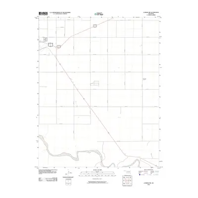
2010 Map of Conrad NW
USGS Topo · Published 2010About this map
Beaver River winds across the southern reaches of this Cimarron County landscape, providing a rare riparian break in the high plains grid of the Oklahoma Panhandle. The terrain is defined by a rigorous network of section-line roads, including E0180 Rd and N0350 Rd, which facilitate transport across this agrarian expanse. For those researching local family history, the presence of the Garlington Cemetery in the eastern portion of the quadrangle offers a specific point of genealogical interest. This survey illustrates the persistence of the rectangular land survey system in one of the state's most rural regions, where the proximity to the river once dictated settlement patterns and water access for the surrounding ranching and farming operations.
Find a feature on this map
18 named features on this map. Tap any name to fly to it.
Don’t see what you’re looking for? This feature index may not catch every label — zoom into the map to look around manually.
Map Details
Editions of this 2010 Conrad NW Map
This is the sole edition of this map. No revisions or reprints were ever made.
Other maps of this area

1954 · Dalhart
USGS Topo · 1:250,000

1958 · Dalhart
USGS Topo · 1:250,000

1962 · Dalhart
USGS Topo · 1:250,000

1969 · Boise City
USGS Topo · 1:24,000

1969 · Flagg Springs
USGS Topo · 1:24,000

1969 · Boise City SE
USGS Topo · 1:24,000

1971 · Keyes SW
USGS Topo · 1:24,000

1971 · Keyes West
USGS Topo · 1:24,000

1971 · Sampsel Lake
USGS Topo · 1:24,000

1971 · Conrad NW
USGS Topo · 1:24,000