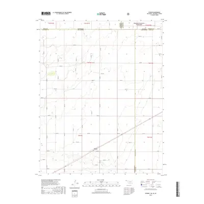
2018 Map of Sturgis
USGS Topo · Published 2018About this map
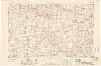
Sturgis marks the convergence of rural life and the vast plains at the tri-state border of Oklahoma, Kansas, and Colorado. This High Plains landscape is bisected by Co Hwy 7, which cuts diagonally across a geometric grid of section roads like E0070 Rd and N0510 Rd. The terrain is defined by the drainage of Goff Cr, where the gentle contours of the Panhandle break into subtle draws. To the north, the boundary of the Cimarron National Grassland begins, signaling a transition from the agricultural plots of Cimarron County into protected prairie. The map provides an exceptionally clear view of the township and range system, showing the precise corners where Oklahoma meets Baca County, Colorado, and Morton County, Kansas, making it a critical reference for understanding the property boundaries and transport networks of this remote borderland.
Find a feature on this map
55 named features on this map. Tap any name to fly to it.
Don’t see what you’re looking for? This feature index may not catch every label — zoom into the map to look around manually.
Map Details
Editions of this 2018 Sturgis Map
This is the sole edition of this map. No revisions or reprints were ever made.
Other maps of this area
1892 · Vilas
USGS Topo · 1:125,000

1954 · Perryton
USGS Topo · 1:250,000
1954 · Dalhart
USGS Topo · 1:250,000
1955 · La Junta
USGS Topo · 1:250,000
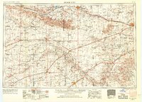
1955 · Dodge City
USGS Topo · 1:250,000

1958 · Perryton
USGS Topo · 1:250,000
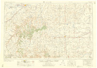
1958 · La Junta
USGS Topo · 1:250,000
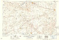
1958 · Dodge City
USGS Topo · 1:250,000
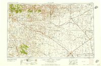
1958 · Dalhart
USGS Topo · 1:250,000
1959 · Dodge City
USGS Topo · 1:250,000