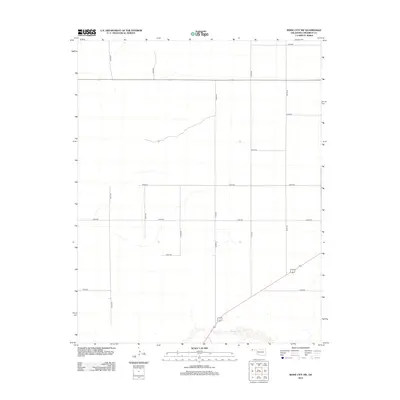
2012 Map of Boise City NW
USGS Topo · Published 2012About this map
Beaver River winds through the southern portion of this High Plains landscape in Cimarron County, Oklahoma. The terrain is defined by a strict section-line grid of rural roads, such as N0160 Rd and E0220 Rd, reflecting the late-era agricultural organization of the Oklahoma Panhandle. This survey shows the region's sparse settlement pattern, where long stretches of road like N0190 Rd connect distant farmsteads and ranches. The landscape is characterized by its dramatic flatness, punctuated only by the subtle drainage systems that feed into the river valley, providing a clear view of the geographic isolation and infrastructure required for modern prairie life.
Find a feature on this map
16 named features on this map. Tap any name to fly to it.
Don’t see what you’re looking for? This feature index may not catch every label — zoom into the map to look around manually.
Map Details
Editions of this 2012 Boise City NW Map
This is the sole edition of this map. No revisions or reprints were ever made.
Other maps of this area

1954 · Dalhart
USGS Topo · 1:250,000

1958 · Dalhart
USGS Topo · 1:250,000

1962 · Dalhart
USGS Topo · 1:250,000

1969 · Boise City
USGS Topo · 1:24,000

1969 · Boise City NW
USGS Topo · 1:24,000

1969 · Boise City SW
USGS Topo · 1:24,000

1969 · Felt
USGS Topo · 1:24,000

1969 · Flagg Springs
USGS Topo · 1:24,000

1969 · Boise City SE
USGS Topo · 1:24,000

1969 · Felt NE
USGS Topo · 1:24,000