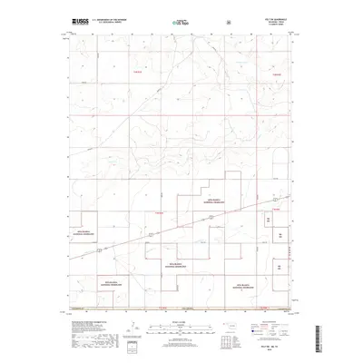
2018 Map of Felt SW
USGS Topo · Published 2018About this map
Rita Blanca National Grassland dominates this portion of the Oklahoma Panhandle, illustrating a landscape defined by large-scale conservation and public land management. The terrain is etched by several prominent drainage systems including Corrumpa Creek, Seneca Cr, and Aqua Fria Cr, which flow through the high plains of Cimarron County. This 2018 survey reveals a sparse but deliberate network of section-line roads, such as N0070 Rd and E0330 Rd, which provide access to the vast tracts of the Rb Ng. The arrangement of these public lands within the township and range system—covering portions of t1n r1e and t1n r2e—shows the modern character of the High Plains, where agricultural grazing rights and environmental preservation coexist in one of the most remote corners of the state.
Find a feature on this map
22 named features on this map. Tap any name to fly to it.
Don’t see what you’re looking for? This feature index may not catch every label — zoom into the map to look around manually.
Map Details
Editions of this 2018 Felt SW Map
This is the sole edition of this map. No revisions or reprints were ever made.
Other maps of this area

1954 · Dalhart
USGS Topo · 1:250,000

1958 · Dalhart
USGS Topo · 1:250,000

1962 · Dalhart
USGS Topo · 1:250,000

1969 · Felt SW
USGS Topo · 1:24,000

1969 · Wheeless
USGS Topo · 1:24,000

1969 · Felt
USGS Topo · 1:24,000

1969 · Felt NE
USGS Topo · 1:24,000

1970 · Texline North
USGS Topo · 1:24,000

1972 · Rardin Hill
USGS Topo · 1:24,000

1972 · Moses
USGS Topo · 1:24,000