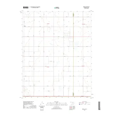
2018 Map of Griggs
USGS Topo · Published 2018About this map
Griggs sits in the northwest corner of this landscape, anchoring a vast grid of section lines and township boundaries along the Oklahoma-Texas state line. The terrain is characterized by a precise network of rural routes, where the Cimarron Co and Texas Co border runs vertically through the eastern portion of the sheet. This 2018 survey illustrates the modern agricultural layout of the Panhandle, where roads like E 0280 Rd and N0525 Rd define the limits of large-scale land parcels.
Find a feature on this map
38 named features on this map. Tap any name to fly to it.
Don’t see what you’re looking for? This feature index may not catch every label — zoom into the map to look around manually.
Map Details
Editions of this 2018 Griggs Map
This is the sole edition of this map. No revisions or reprints were ever made.
Other maps of this area

1954 · Perryton
USGS Topo · 1:250,000

1954 · Dalhart
USGS Topo · 1:250,000

1958 · Perryton
USGS Topo · 1:250,000

1958 · Dalhart
USGS Topo · 1:250,000

1962 · Dalhart
USGS Topo · 1:250,000

1964 · Kerrick
USGS Topo · 1:24,000

1964 · Stratford NE
USGS Topo · 1:24,000

1965 · Stevens
USGS Topo · 1:24,000

1971 · Griggs SW
USGS Topo · 1:24,000

1971 · Griggs NE
USGS Topo · 1:24,000