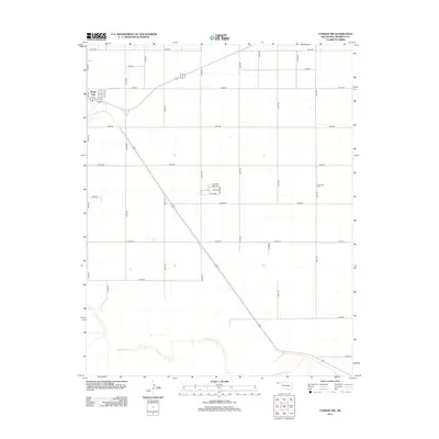
2012 Map of Conrad NW
USGS Topo · Published 2012About this map
Boise City serves as the focal point for this section of the Oklahoma Panhandle, situated where several regional routes converge in Cimarron County. The landscape is defined by the expansive high plains, punctuated to the south by the meandering course of the Beaver River. This river corridor provides a distinct break in the otherwise rigid section-line road grid that characterizes the area, including numerous routes like E0180 Rd and N0310 Rd. Local history is anchored by sites like Garlington Cem, which remains a significant genealogical marker for the rural community east of the city center. The map reflects a classic western agricultural layout, with long stretches of rural roads connecting scattered homesteads to the primary hub at Boise City.
Find a feature on this map
32 named features on this map. Tap any name to fly to it.
Don’t see what you’re looking for? This feature index may not catch every label — zoom into the map to look around manually.
Map Details
Editions of this 2012 Conrad NW Map
This is the sole edition of this map. No revisions or reprints were ever made.
Other maps of this area

1954 · Dalhart
USGS Topo · 1:250,000

1958 · Dalhart
USGS Topo · 1:250,000

1962 · Dalhart
USGS Topo · 1:250,000

1969 · Boise City
USGS Topo · 1:24,000

1969 · Flagg Springs
USGS Topo · 1:24,000

1969 · Boise City SE
USGS Topo · 1:24,000

1971 · Keyes SW
USGS Topo · 1:24,000

1971 · Keyes West
USGS Topo · 1:24,000

1971 · Sampsel Lake
USGS Topo · 1:24,000

1971 · Conrad NW
USGS Topo · 1:24,000