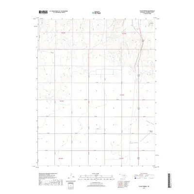
2018 Map of Flagg Springs
USGS Topo · Published 2018About this map
Flagg Springs serves as a vital water source in this corner of Cimarron County, where the high plains terrain is defined by dry drainage systems and isolated elevations. The eponymous Flagg Springs Cr cuts through the northern sections, while Wolf Mtn provides a clear landmark near the Oklahoma-Colorado border. This late-2010s survey illustrates a landscape of large-scale land management, organized by the Public Land Survey System into townships including t5n r4e and t4n r5e.
Find a feature on this map
24 named features on this map. Tap any name to fly to it.
Don’t see what you’re looking for? This feature index may not catch every label — zoom into the map to look around manually.
Map Details
Editions of this 2018 Flagg Springs Map
This is the sole edition of this map. No revisions or reprints were ever made.
Other maps of this area

1954 · Dalhart
USGS Topo · 1:250,000

1958 · Dalhart
USGS Topo · 1:250,000

1962 · Dalhart
USGS Topo · 1:250,000

1968 · Autograph Cliff NW
USGS Topo · 1:24,000

1969 · Boise City
USGS Topo · 1:24,000

1969 · Boise City NW
USGS Topo · 1:24,000

1969 · Flagg Springs
USGS Topo · 1:24,000
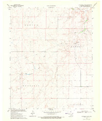
1969 · Autograph Cliff
USGS Topo · 1:24,000
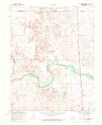
1969 · Razor Blade Mesa
USGS Topo · 1:24,000

1971 · Keyes SW
USGS Topo · 1:24,000