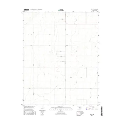
2016 Map of Felt NE
USGS Topo · Published 2016About this map
Cold Springs Cr winds through the northwestern corner of this high plains landscape, cutting through the elevation contours of Cimarron County. The terrain is defined by a strict section-line road grid that characterizes the Oklahoma Panhandle's agricultural and ranching layout. Modern routes such as N0120 Rd and E0190 Rd facilitate travel across the wide-open spaces between scattered rural homesteads and grazing lands. The topography reveals subtle depressions and rises, typical of the region's shortgrass prairie, where water drainage is localized to ephemeral features like Cold Springs Cr. This 2016 snapshot shows a landscape largely shaped by the enduring patterns of the original land surveys, with roads like E0230 Rd and N0150 Rd marking the boundaries of vast rural tracts.
Find a feature on this map
19 named features on this map. Tap any name to fly to it.
Don’t see what you’re looking for? This feature index may not catch every label — zoom into the map to look around manually.
Map Details
Editions of this 2016 Felt NE Map
This is the sole edition of this map. No revisions or reprints were ever made.
Other maps of this area

1954 · Dalhart
USGS Topo · 1:250,000

1958 · Dalhart
USGS Topo · 1:250,000

1962 · Dalhart
USGS Topo · 1:250,000

1969 · Felt SW
USGS Topo · 1:24,000

1969 · Boise City NW
USGS Topo · 1:24,000

1969 · Boise City SW
USGS Topo · 1:24,000

1969 · Wheeless
USGS Topo · 1:24,000

1969 · Felt
USGS Topo · 1:24,000

1969 · Felt NE
USGS Topo · 1:24,000

1969 · Kenton SE
USGS Topo · 1:24,000