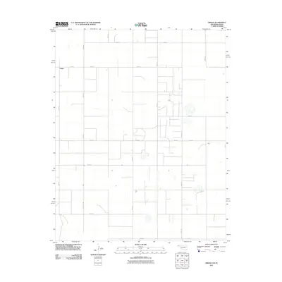
2011 Map of Griggs
USGS Topo · Published 2011About this map
Griggs anchors this portion of Cimarron County in the Oklahoma Panhandle, a landscape defined by its rigorous sectional grid and agricultural character. The territory shown represents a classic high plains rural settlement pattern, where long-distance routes like Co Hwy 53 and Co Rd 11 intersect with a dense network of local section-line roads. Many of these thoroughfares, such as N0532 Rd and N0510 Rd, serve as the primary conduits between isolated homesteads and the central hub at Griggs. This map captures the region at a time when traditional ranching and farming remained the economic foundation, evidenced by the scattered dwellings and stock tanks dispersed throughout the grid. The geometric precision of the roadway system, including N0540 Rd and N0537 Rd, illustrates the enduring influence of the Public Land Survey System on the western Oklahoma landscape.
Find a feature on this map
21 named features on this map. Tap any name to fly to it.
Don’t see what you’re looking for? This feature index may not catch every label — zoom into the map to look around manually.
Map Details
Editions of this 2011 Griggs Map
This is the sole edition of this map. No revisions or reprints were ever made.
Other maps of this area

1954 · Perryton
USGS Topo · 1:250,000

1954 · Dalhart
USGS Topo · 1:250,000

1958 · Perryton
USGS Topo · 1:250,000

1958 · Dalhart
USGS Topo · 1:250,000

1962 · Dalhart
USGS Topo · 1:250,000

1964 · Kerrick
USGS Topo · 1:24,000

1964 · Stratford NE
USGS Topo · 1:24,000

1965 · Stevens
USGS Topo · 1:24,000

1971 · Griggs SW
USGS Topo · 1:24,000

1971 · Griggs NE
USGS Topo · 1:24,000