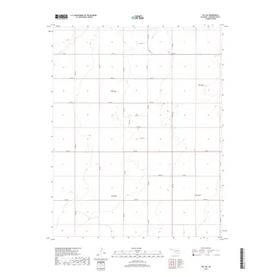
2018 Map of Felt NE
USGS Topo · Published 2018About this map
Cold Springs Cr winds through the northwest corner of this corner of the Oklahoma Panhandle, providing a rare natural drainage point in an otherwise strictly partitioned agricultural landscape. The area is defined by the rigid geometry of the Public Land Survey System, with the intersections of T3n R2e, T3n R3e, T2n R2e, and T2n R3e forming the foundational structure for the local road network. These section lines are traced by a systematic grid of county routes, including E0190 Rd and N0120 Rd, which facilitate movement across this high plains terrain. The map illustrates a high-altitude environment where land use is dictated by these surveyed boundaries, showing how human organization has been mapped onto the open expanse of Cimarron County.
Find a feature on this map
22 named features on this map. Tap any name to fly to it.
Don’t see what you’re looking for? This feature index may not catch every label — zoom into the map to look around manually.
Map Details
Editions of this 2018 Felt NE Map
This is the sole edition of this map. No revisions or reprints were ever made.
Other maps of this area

1954 · Dalhart
USGS Topo · 1:250,000

1958 · Dalhart
USGS Topo · 1:250,000

1962 · Dalhart
USGS Topo · 1:250,000

1969 · Felt SW
USGS Topo · 1:24,000

1969 · Boise City NW
USGS Topo · 1:24,000

1969 · Boise City SW
USGS Topo · 1:24,000

1969 · Wheeless
USGS Topo · 1:24,000

1969 · Felt
USGS Topo · 1:24,000

1969 · Felt NE
USGS Topo · 1:24,000

1969 · Kenton SE
USGS Topo · 1:24,000