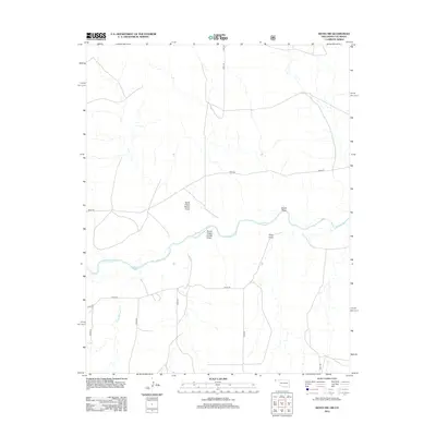
2012 Map of Keyes NW
USGS Topo · Published 2012About this map
The Cimarron River winds through this arid section of Cimarron County, Oklahoma, defining a landscape shaped by intermittent watercourses and deep-cut drainage systems. In the early 21st century, this corner of the Panhandle remains primarily open ranching land, with the terrain marked by several named geographical depressions including North Picket House Draw, South Picket House Draw, and Nevitt Draw. These features, along with King Draw, serve as critical natural landmarks in a region where water management is paramount to the local agricultural economy. Small seasonal tributaries like Flagg Springs Cr feed into the river valley, while a sparse grid of section-line roads, such as N0320 Rd and E0070 Rd, provides access across the high plains and river bluffs of the Oklahoma-Colorado borderlands.
Find a feature on this map
19 named features on this map. Tap any name to fly to it.
Don’t see what you’re looking for? This feature index may not catch every label — zoom into the map to look around manually.
Map Details
Editions of this 2012 Keyes NW Map
This is the sole edition of this map. No revisions or reprints were ever made.
Other maps of this area

1891 · Springfield
USGS Topo · 1:125,000

1892 · Vilas
USGS Topo · 1:125,000

1893 · Springfield
USGS Topo · 1:125,000

1954 · Dalhart
USGS Topo · 1:250,000

1955 · La Junta
USGS Topo · 1:250,000

1958 · La Junta
USGS Topo · 1:250,000

1958 · Dalhart
USGS Topo · 1:250,000

1962 · Dalhart
USGS Topo · 1:250,000

1968 · La Junta
USGS Topo · 1:250,000

1969 · Flagg Springs
USGS Topo · 1:24,000