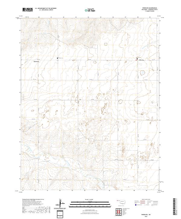
2022 Map of Wheeless
USGS Topo · Published 2022About this map
Wheeless and Mexhoma anchor this rural landscape in the western reaches of the Oklahoma Panhandle, where the high plains transition into the drainage basins of the Cimarron River watershed. The area is defined by a rigid section-line road grid, including N0060 Rd and E0200 Rd, which segments the terrain into large agricultural and grazing blocks. Genealogical value is found at the Wheeless Cem and Mexhoma Cem, which serve as permanent markers for the families who settled this arid corner of Cimarron County.
Find a feature on this map
24 named features on this map. Tap any name to fly to it.
Don’t see what you’re looking for? This feature index may not catch every label — zoom into the map to look around manually.
Map Details
Editions of this 2022 Wheeless Map
This is the sole edition of this map. No revisions or reprints were ever made.
Other maps of this area

1954 · Dalhart
USGS Topo · 1:250,000

1958 · Dalhart
USGS Topo · 1:250,000

1962 · Dalhart
USGS Topo · 1:250,000

1969 · Felt SW
USGS Topo · 1:24,000

1969 · Wheeless
USGS Topo · 1:24,000

1969 · Felt
USGS Topo · 1:24,000

1969 · Felt NE
USGS Topo · 1:24,000

1969 · Kenton SE
USGS Topo · 1:24,000
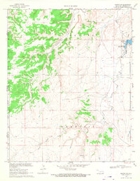
1969 · Kenton SW
USGS Topo · 1:24,000

1972 · Rardin Hill
USGS Topo · 1:24,000