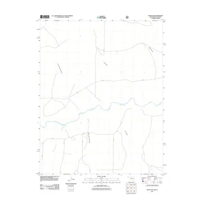
2011 Map of Keyes NW
USGS Topo · Published 2011About this map
The Cimarron River winds through this arid section of Cimarron County, cutting a prominent path through a landscape defined by its network of drainage draws. This high plains terrain is sculpted by seasonal water movements, evidenced by features such as North Picket House Draw, South Picket House Draw, and Nevitt Draw. The presence of Flagg Springs Creek feeding into the main river channel highlights the critical role of surface water in this expansive Oklahoma territory. Human activity is represented by a strict grid of section-line roads, including E0040 Rd and N0350 Rd, which facilitate ranching and land management in this sparsely populated region. This map illustrates the intersection of a rigid agricultural surveying system with the fluid, irregular geography of the High Plains drainage basins.
Find a feature on this map
18 named features on this map. Tap any name to fly to it.
Don’t see what you’re looking for? This feature index may not catch every label — zoom into the map to look around manually.
Map Details
Editions of this 2011 Keyes NW Map
This is the sole edition of this map. No revisions or reprints were ever made.
Other maps of this area

1891 · Springfield
USGS Topo · 1:125,000

1892 · Vilas
USGS Topo · 1:125,000

1893 · Springfield
USGS Topo · 1:125,000

1954 · Dalhart
USGS Topo · 1:250,000

1955 · La Junta
USGS Topo · 1:250,000

1958 · La Junta
USGS Topo · 1:250,000

1958 · Dalhart
USGS Topo · 1:250,000

1962 · Dalhart
USGS Topo · 1:250,000

1968 · La Junta
USGS Topo · 1:250,000

1969 · Flagg Springs
USGS Topo · 1:24,000